June 24-29, 2013 When my husband asked me if I would be
willing to come and volunteer with him for a week out in the field
I was thrilled to take the offer. I actually met him 18 years
earlier as I was on a volunteer trip in the same area. This time we
would be boating around the area and checking in on remote cabins.
It was an great week that even rain could not ruin!
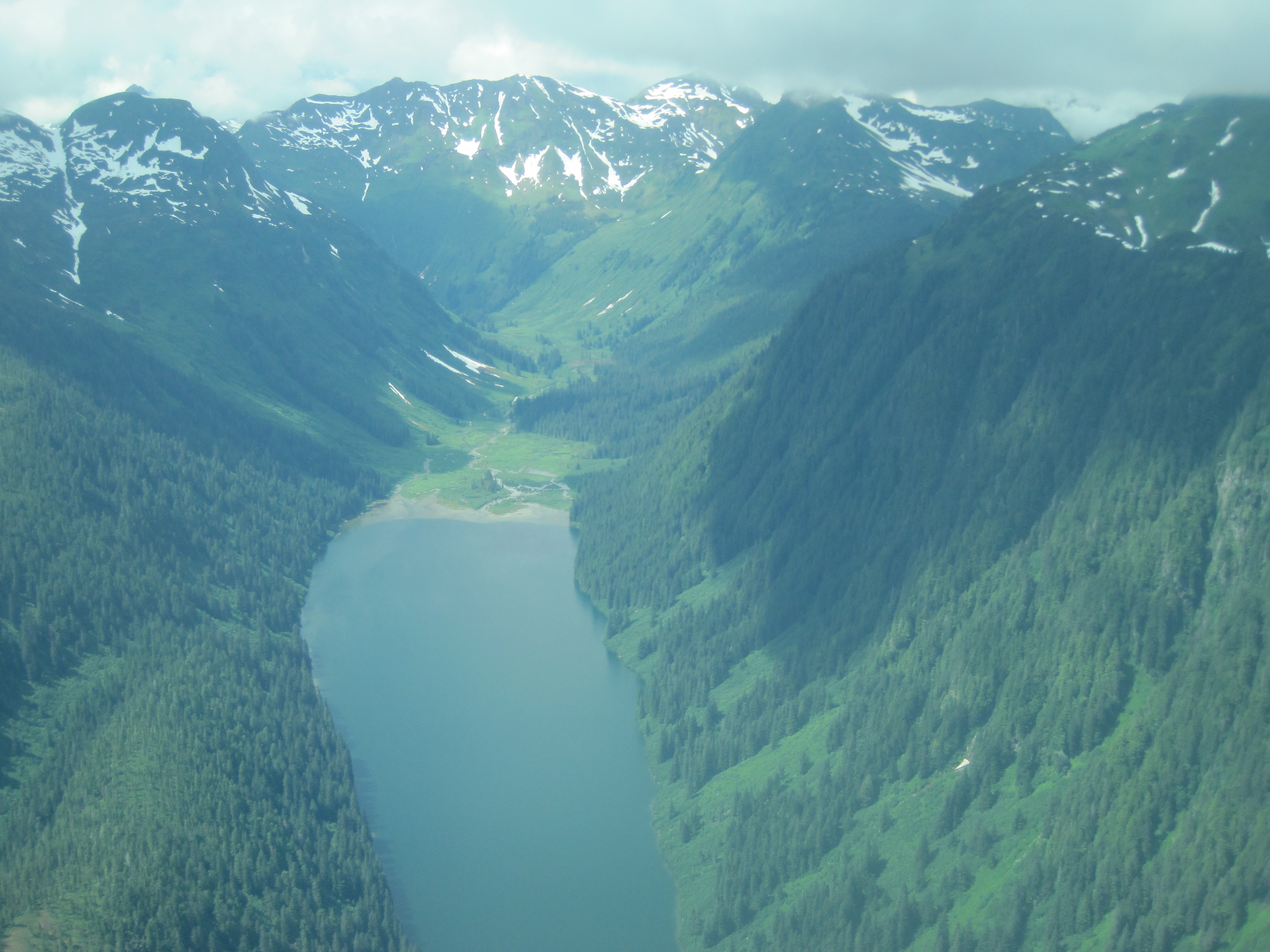
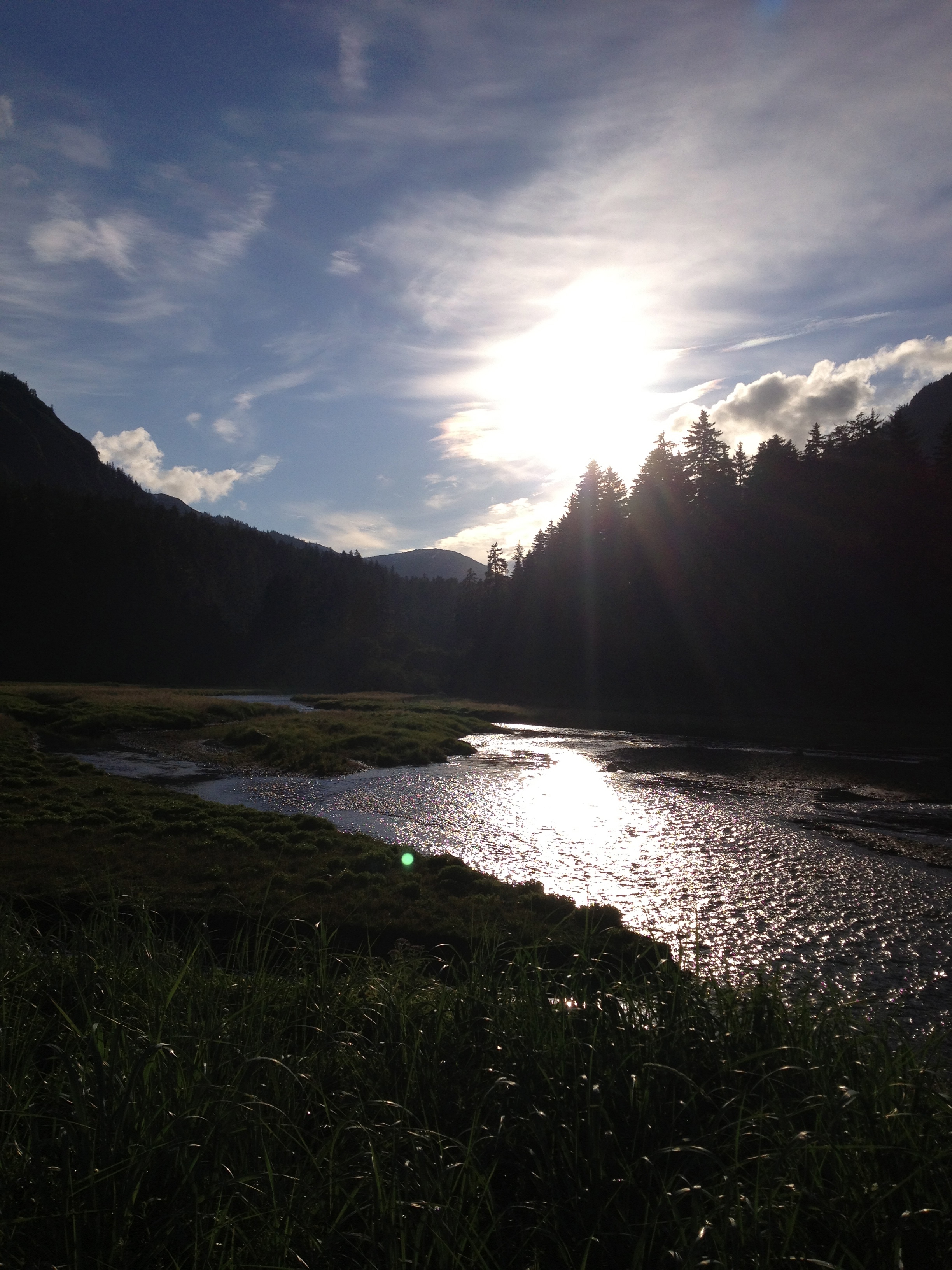
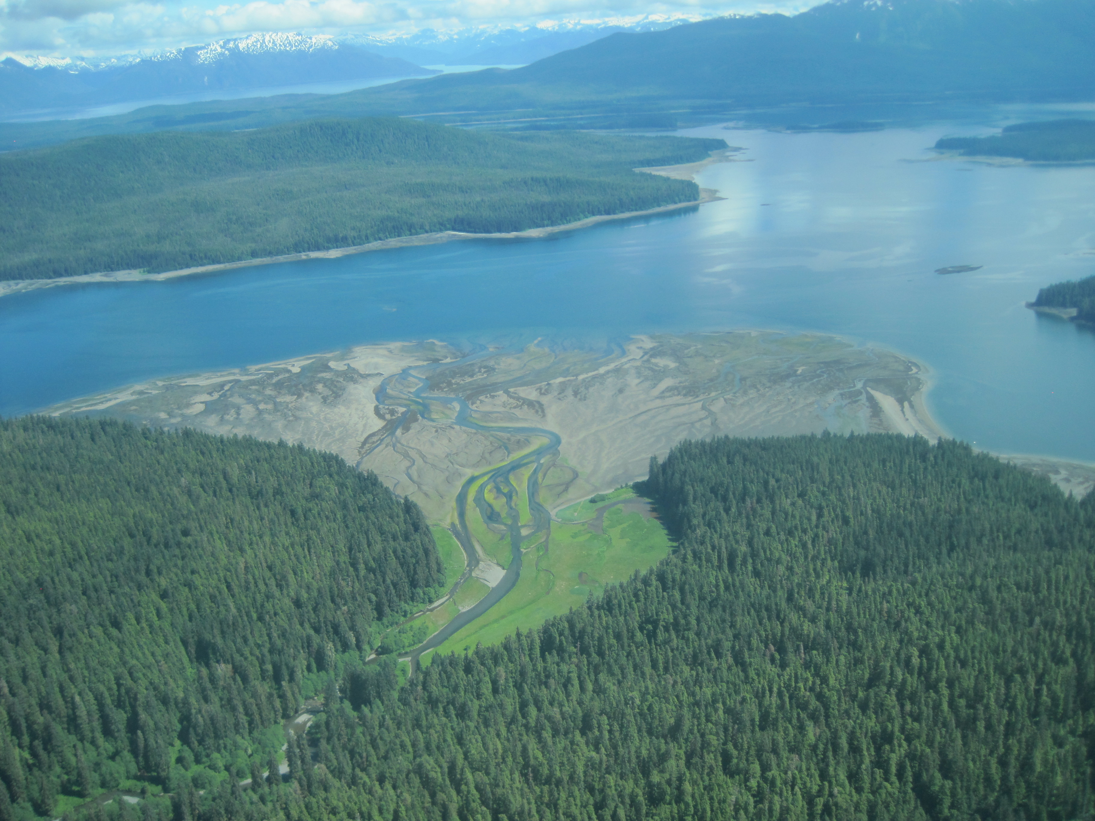
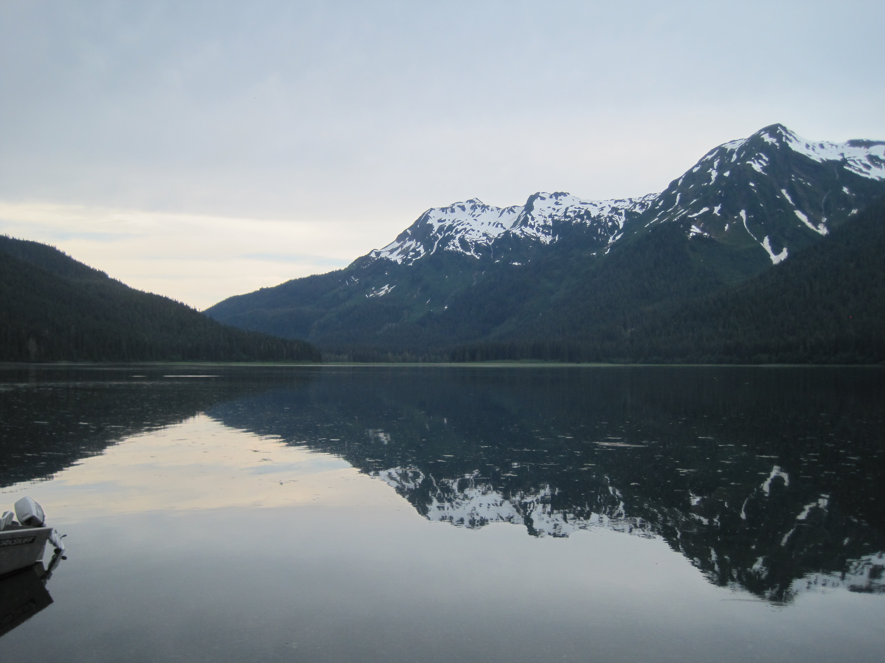
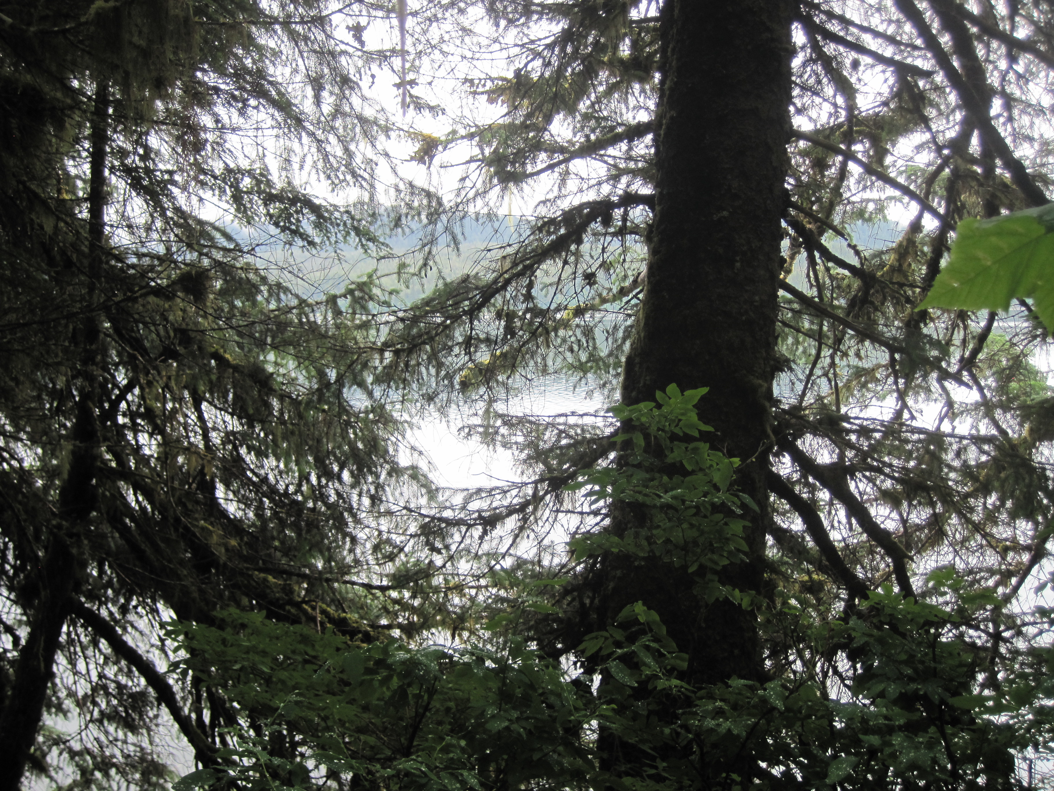
Slide Lake

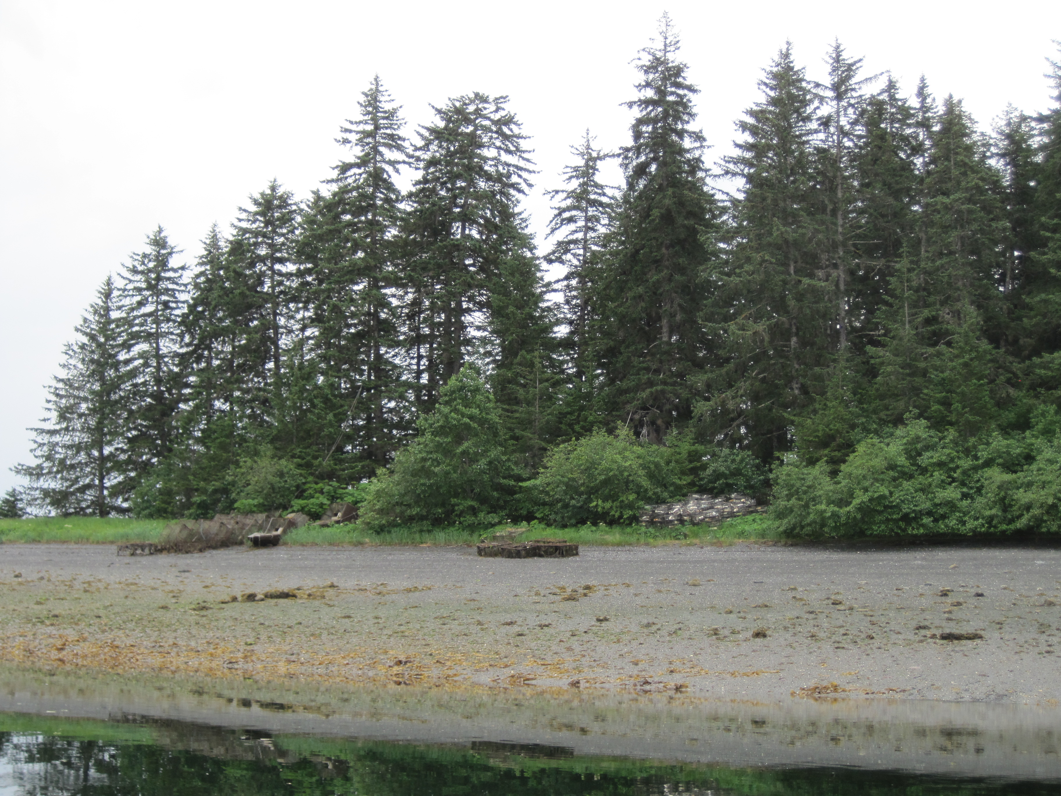
Pack Creek is the creek
flowing out the mud flats in the photo and we stayed on Windfall
Island where we stay.
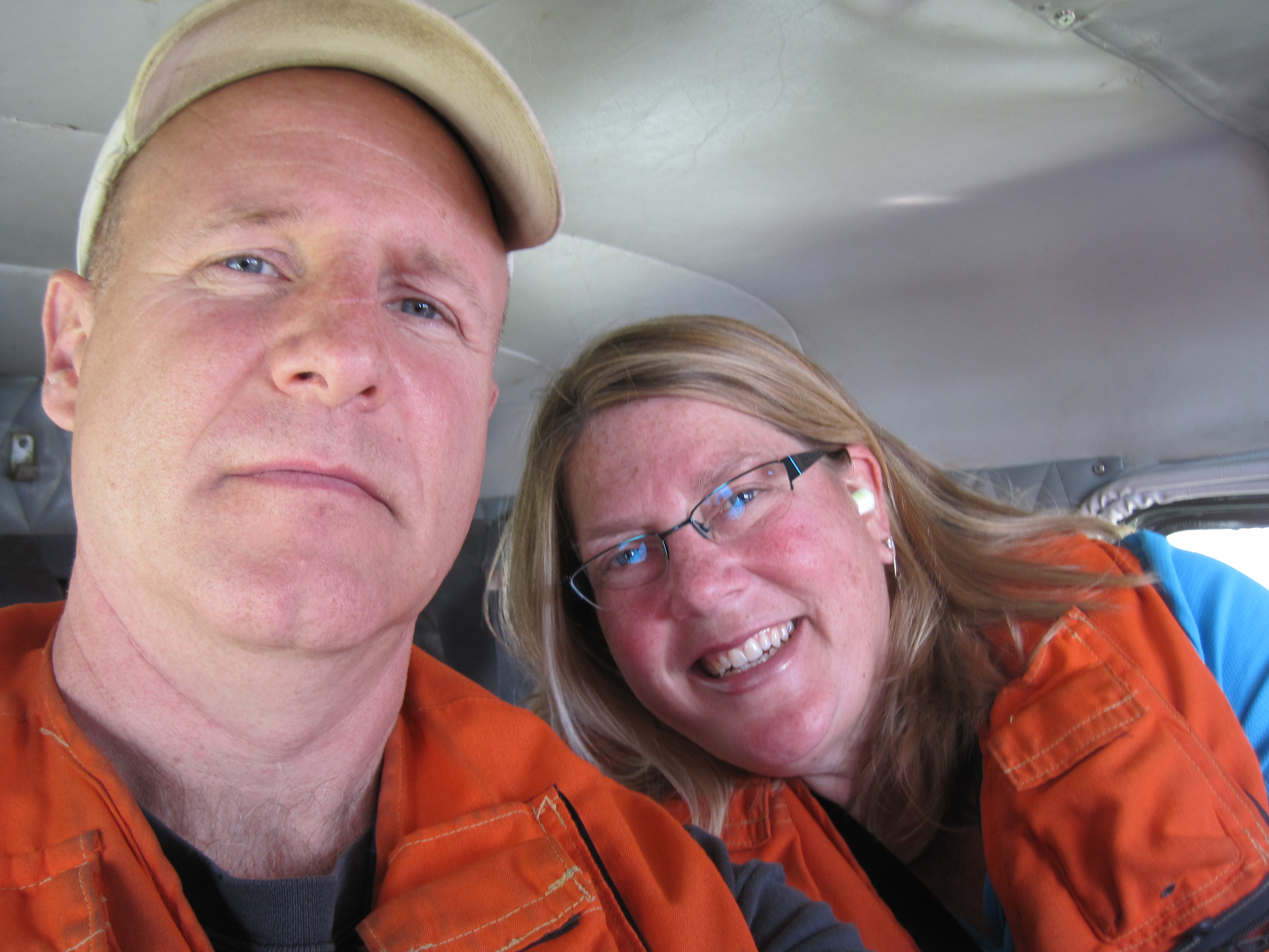
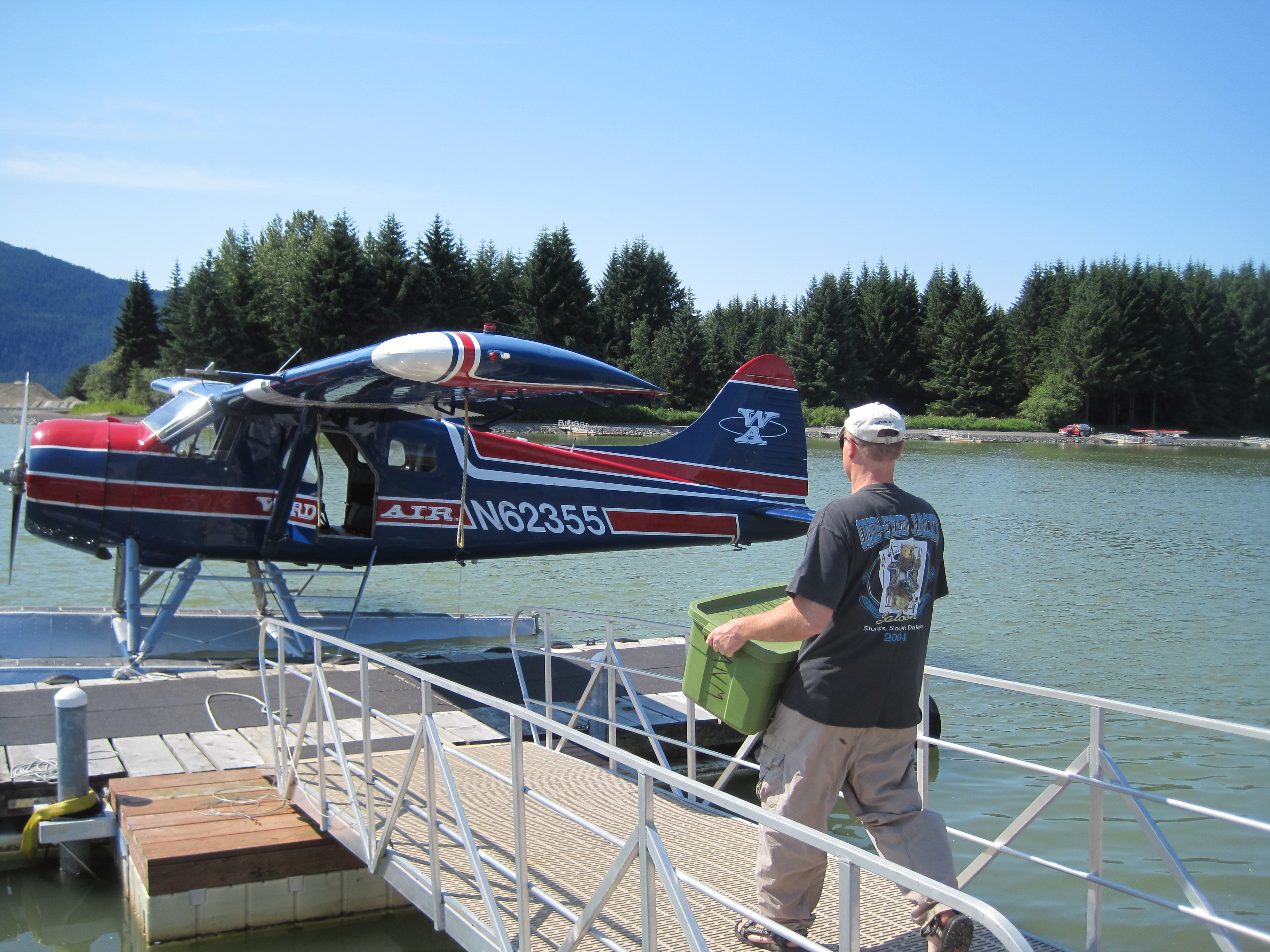
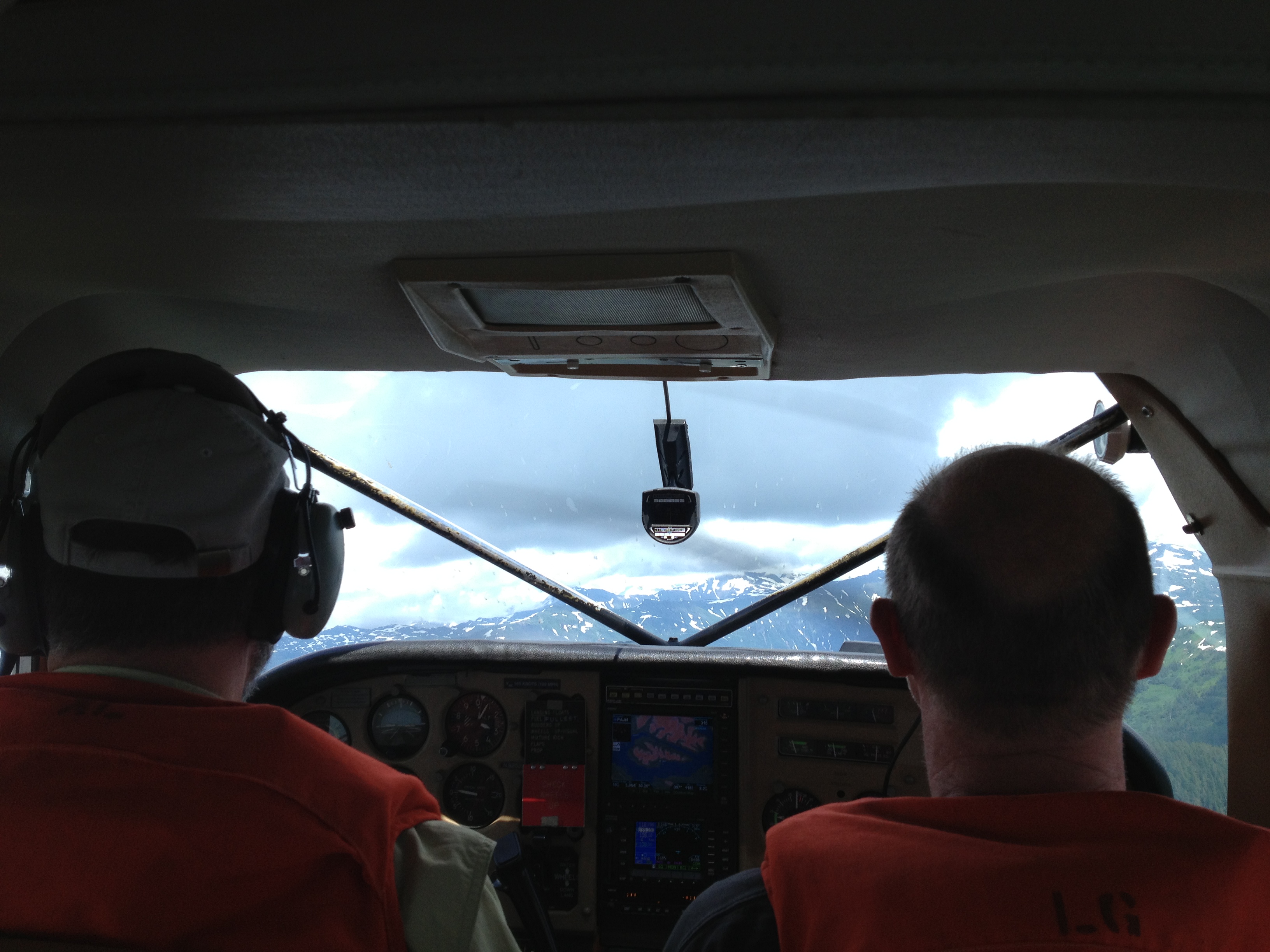
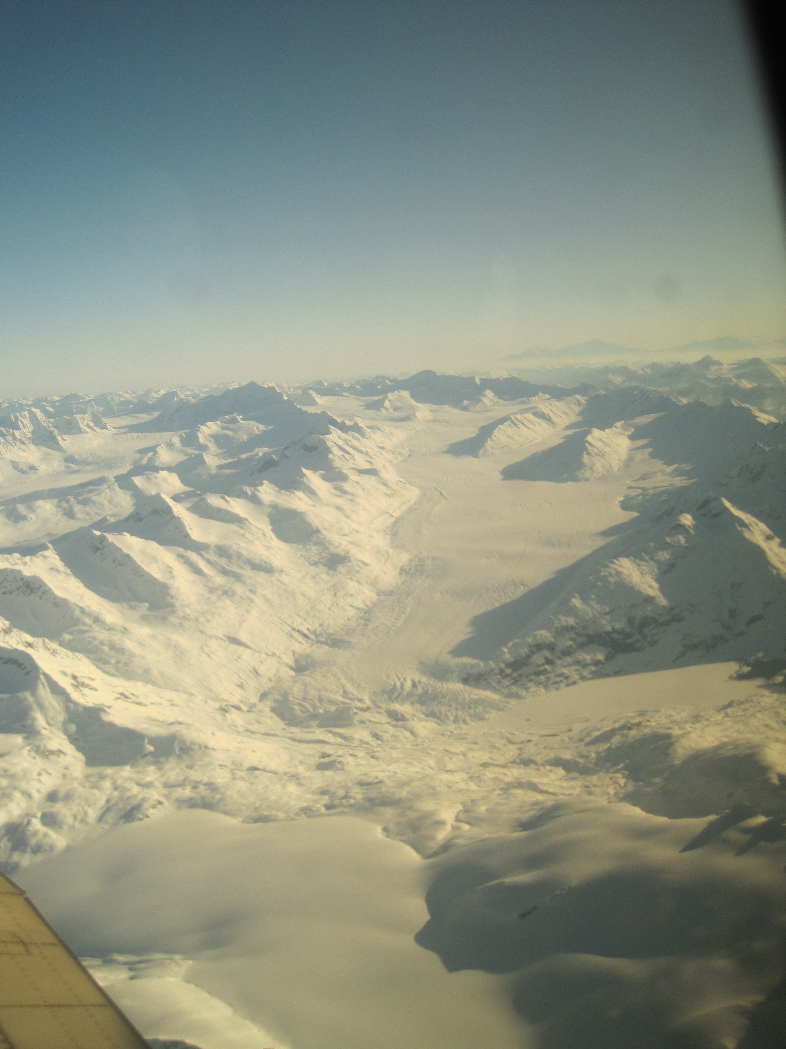
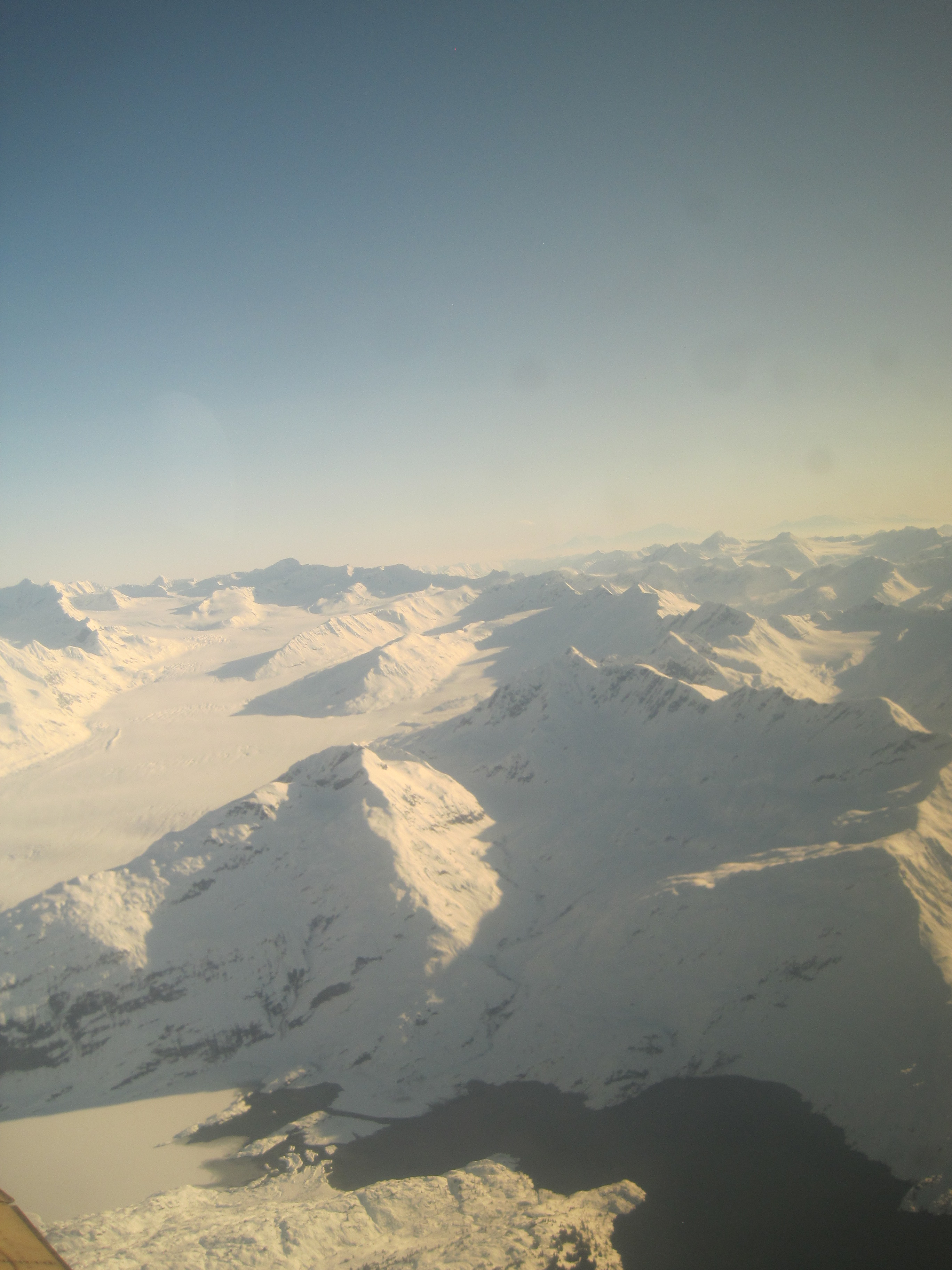
On the day we landed it was
80+degrees outside… In Alaska 80 feels like 100 anyplace else, it
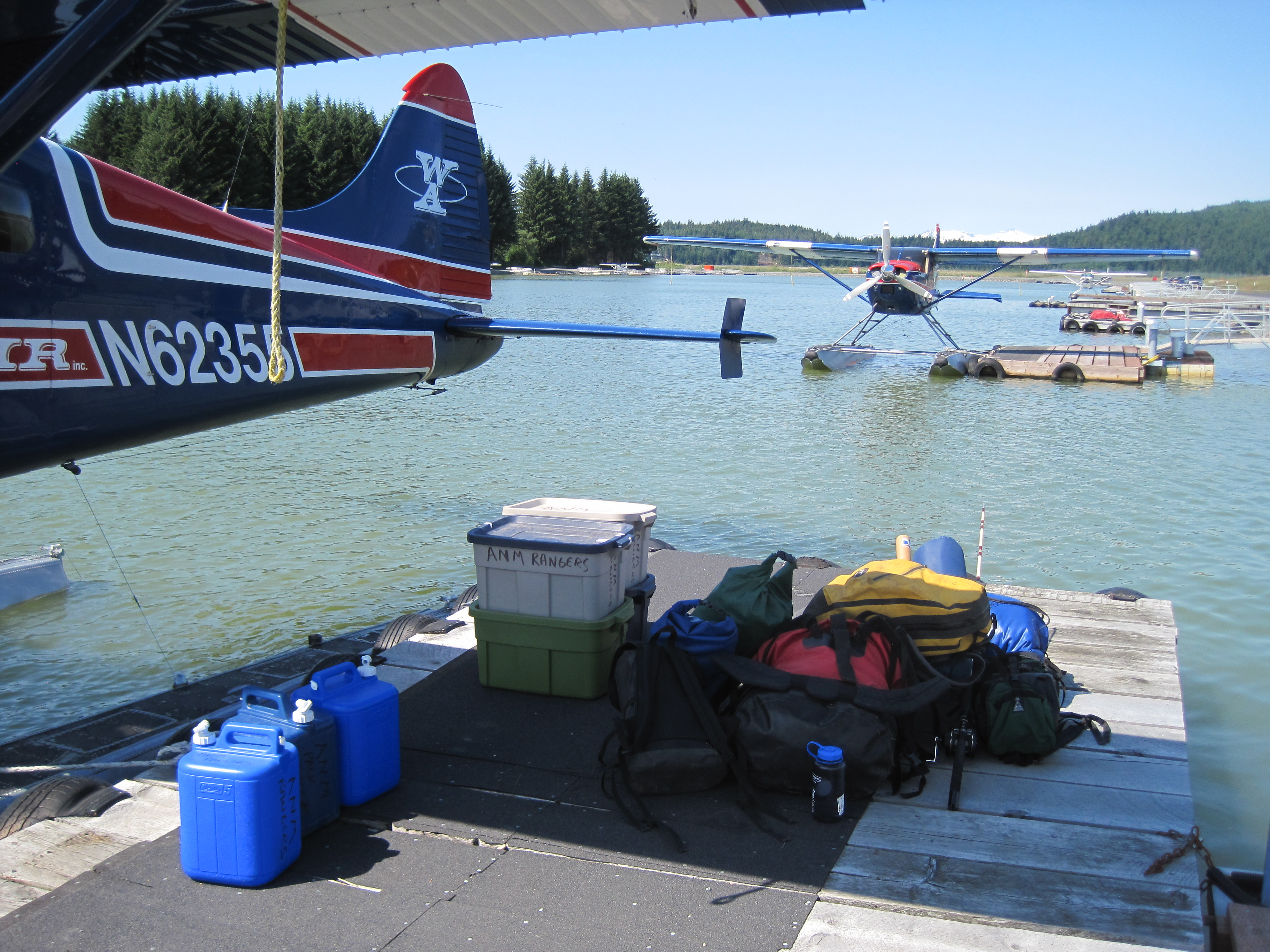
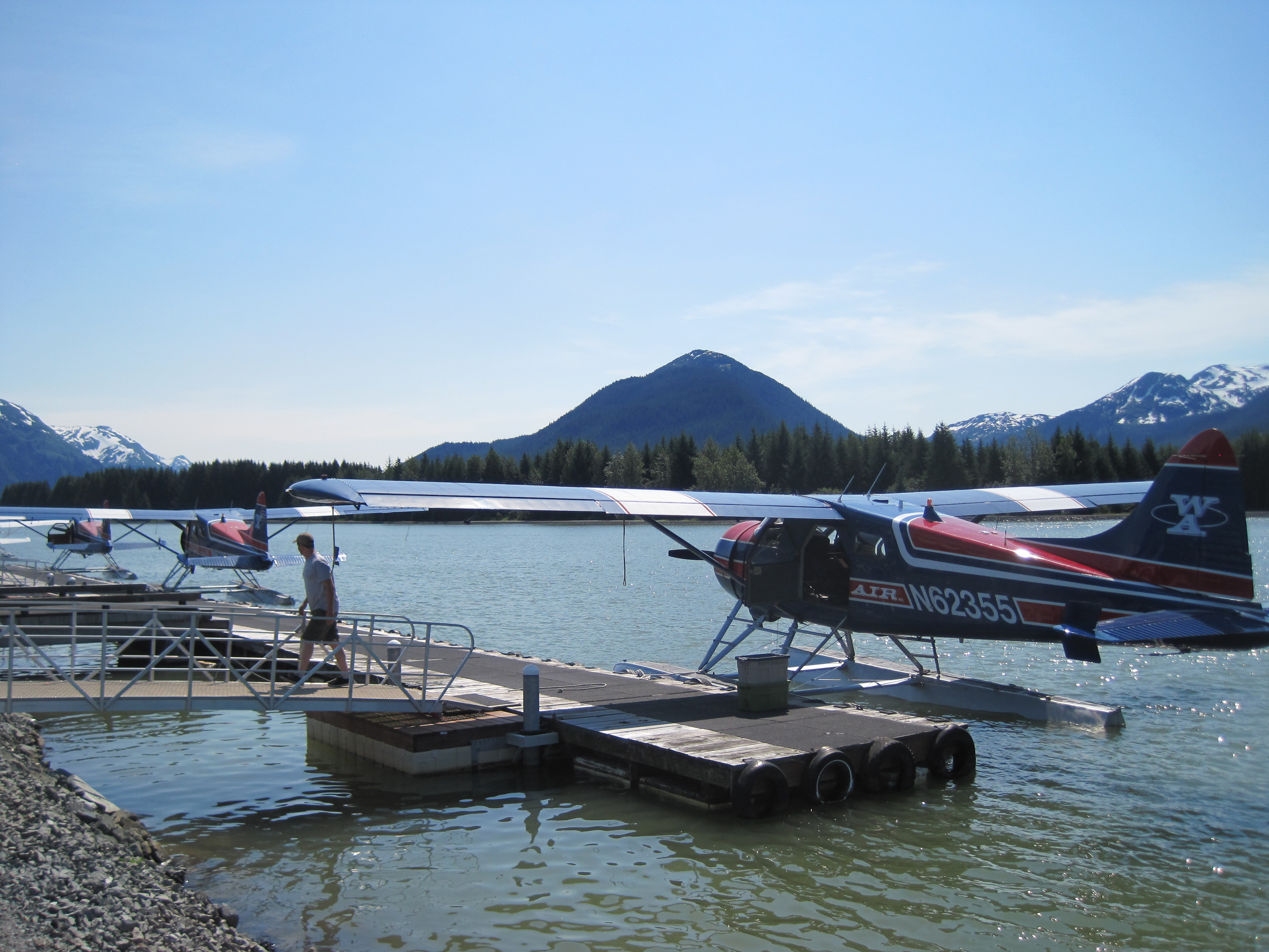
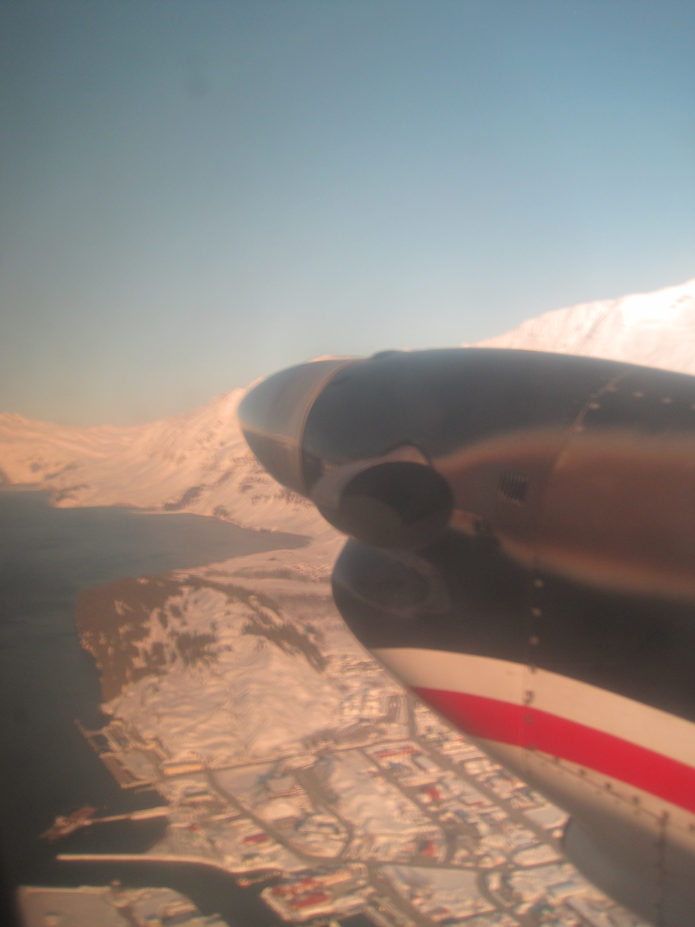
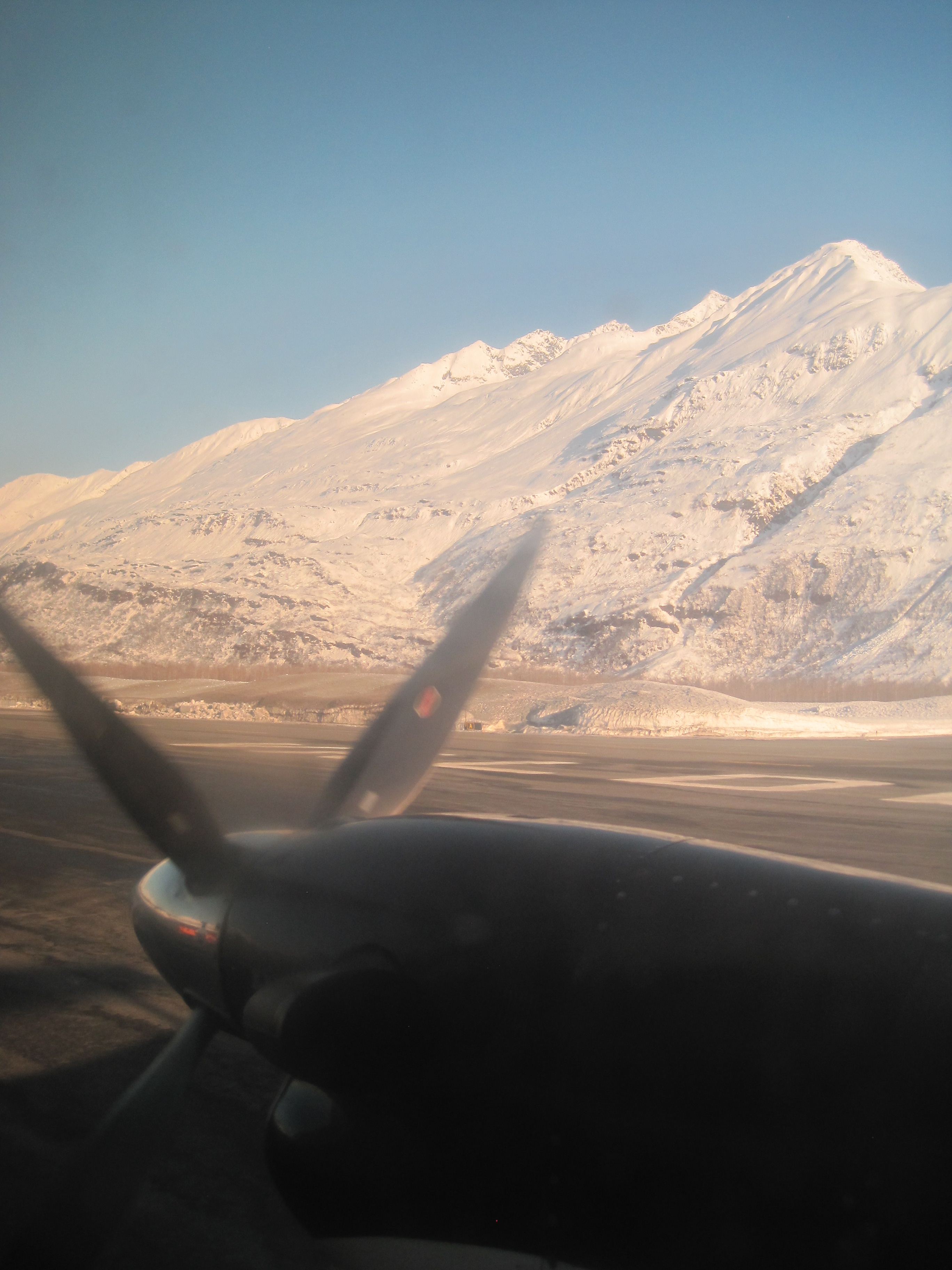
was hot and the horse flies were terrible. But we loaded the float
plane and took off for a 30 minute flight.
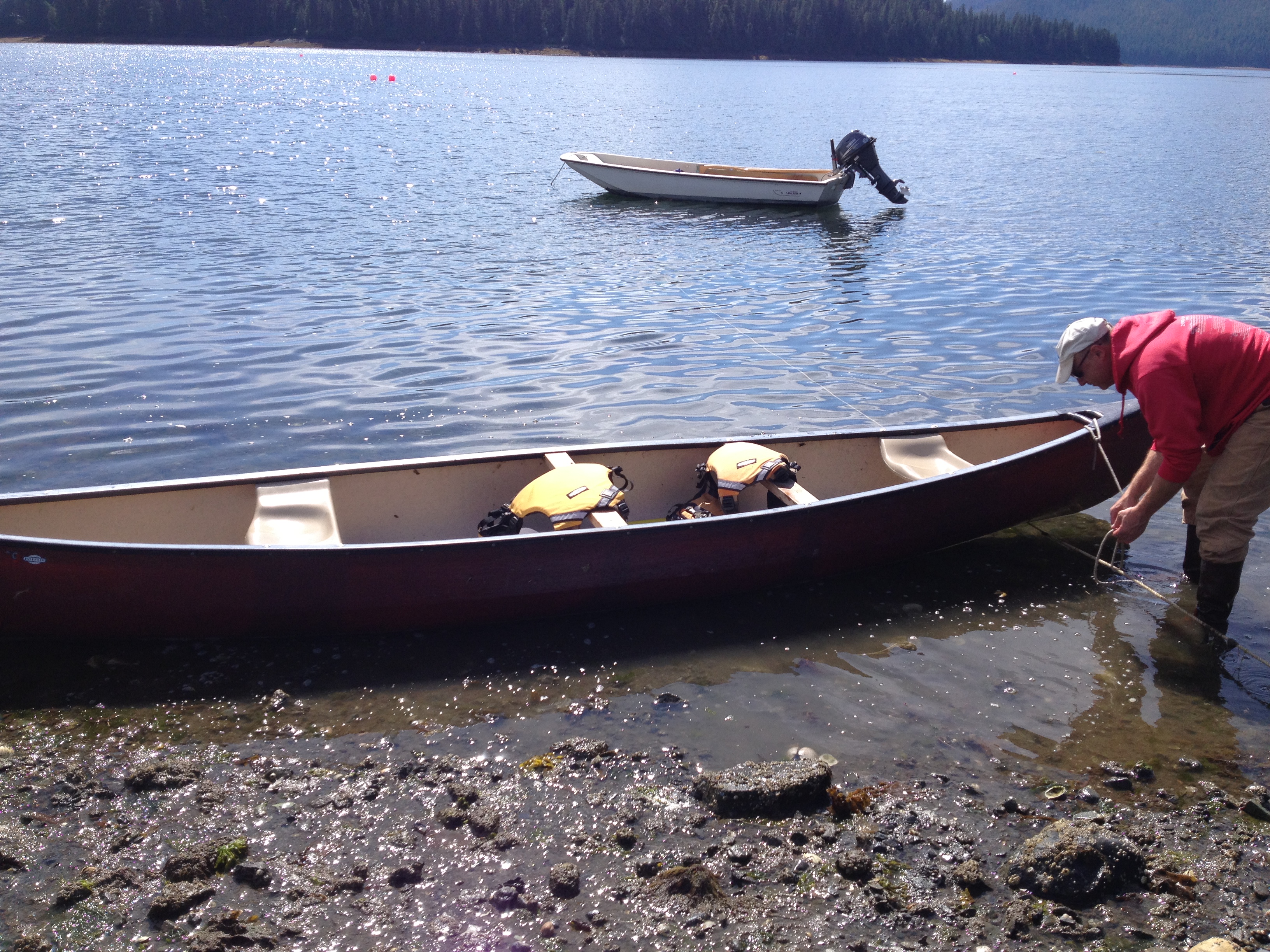
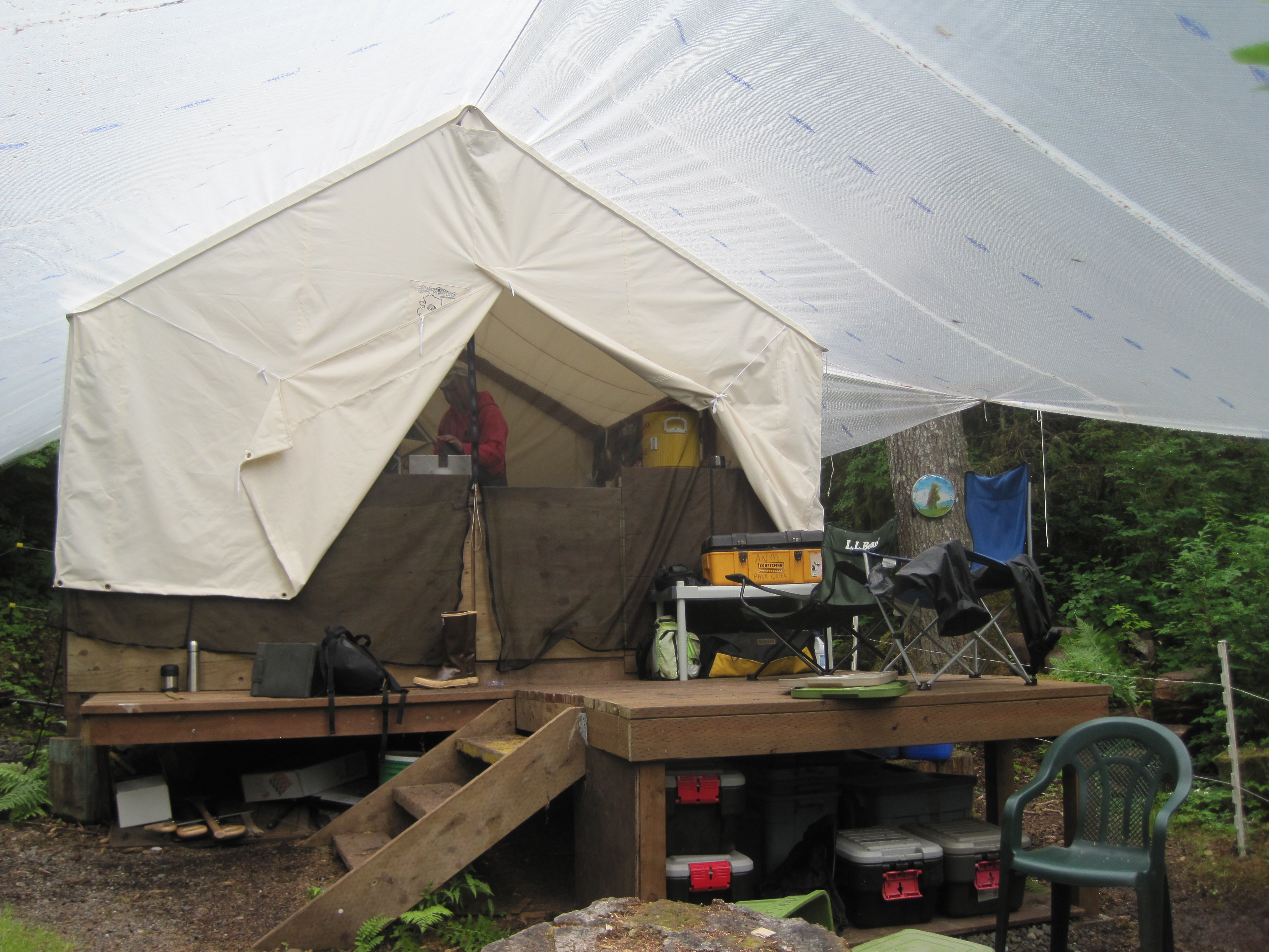
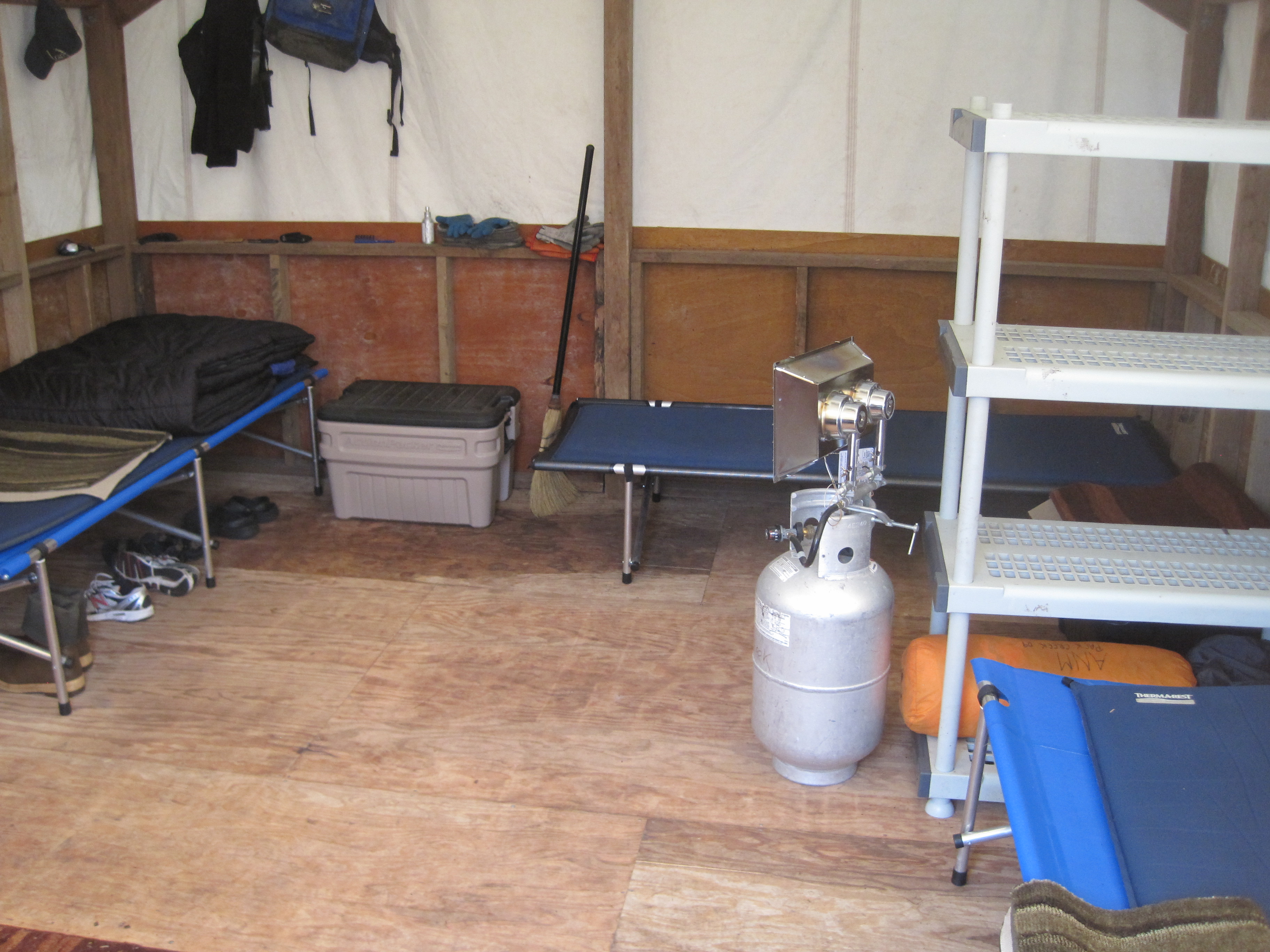
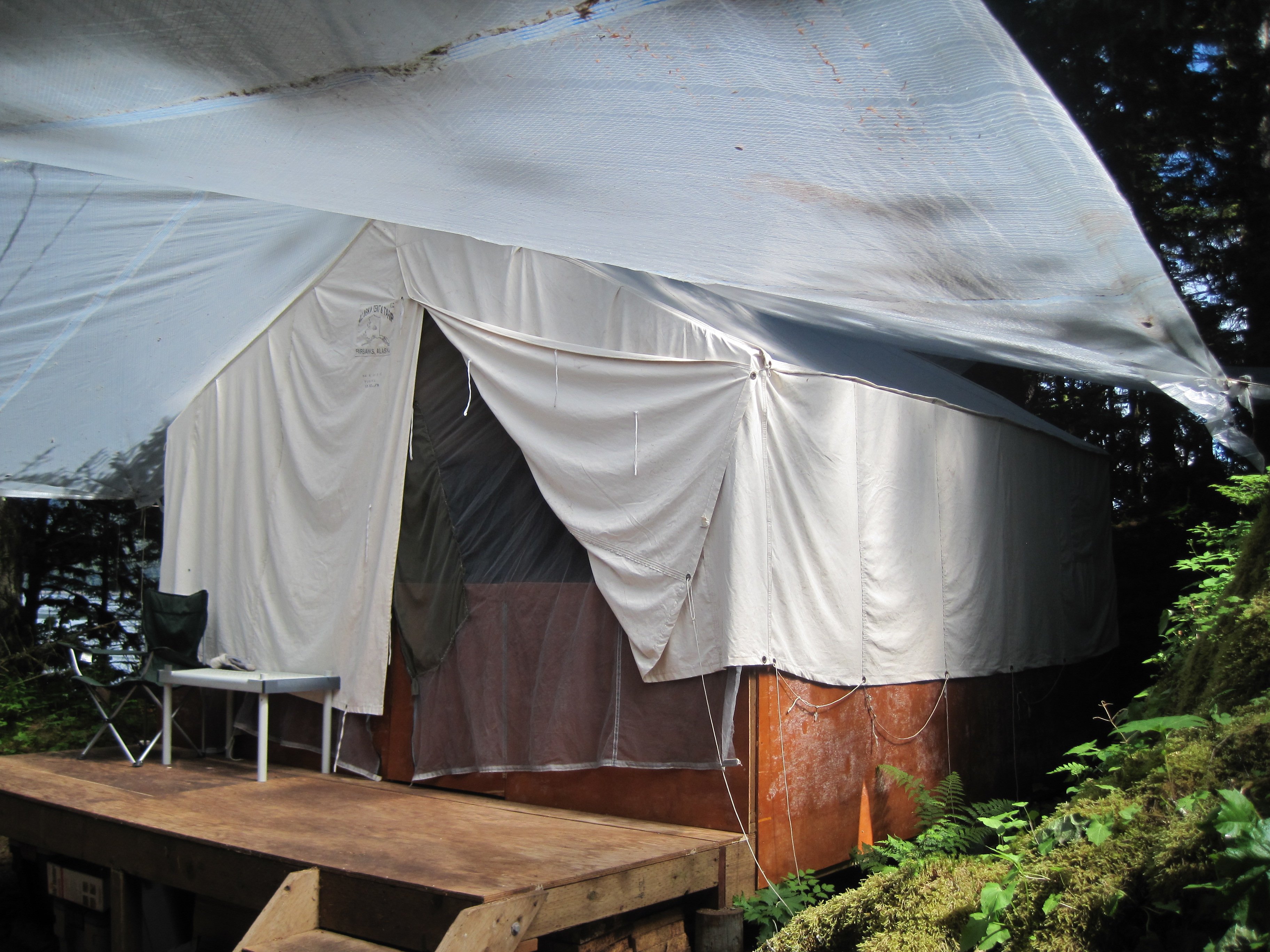
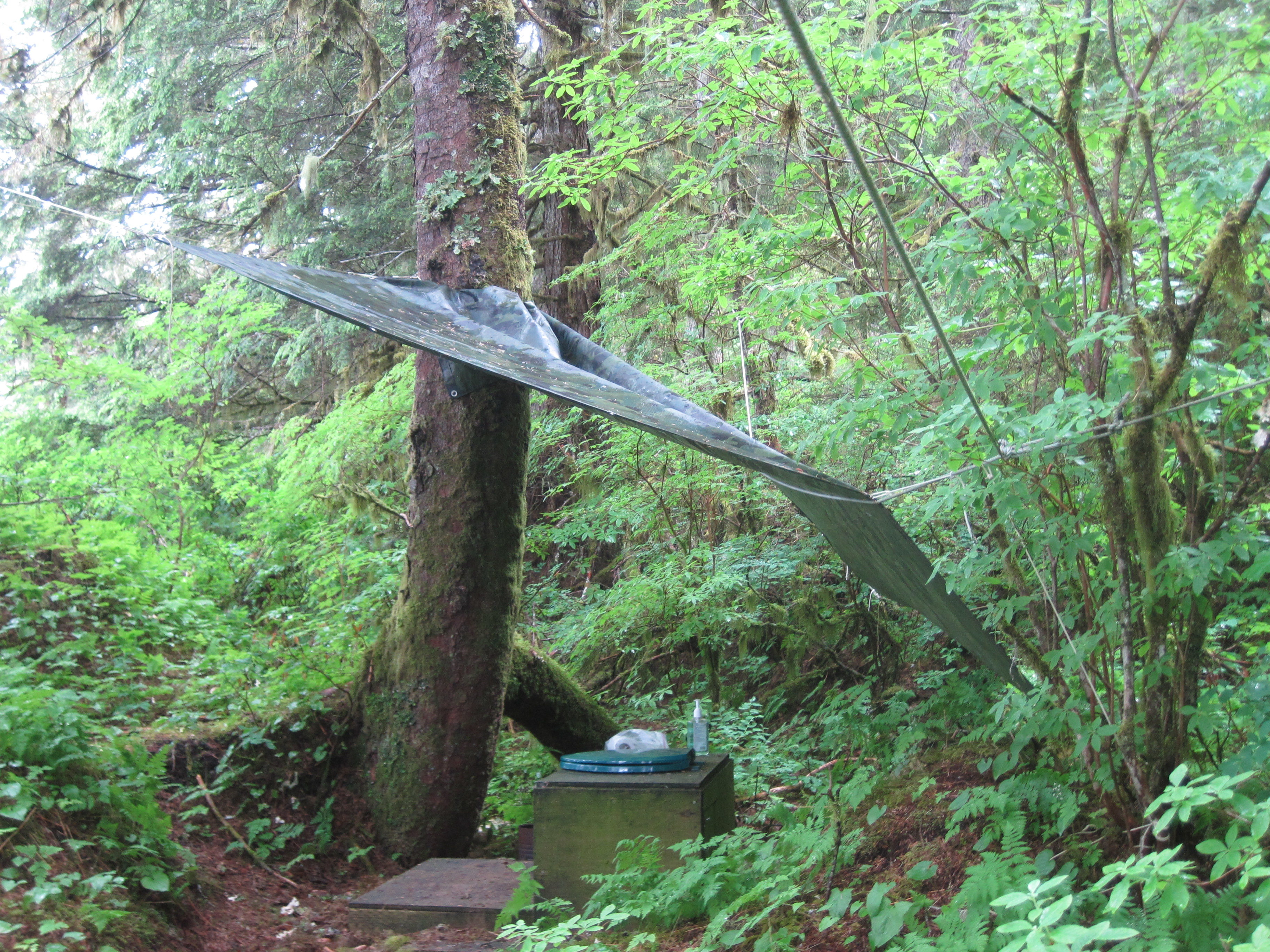
We unloaded
and got ourselves set up at camp
https://timistravels.wordpress.com/2013/07/03/camp-life-windfall-island/
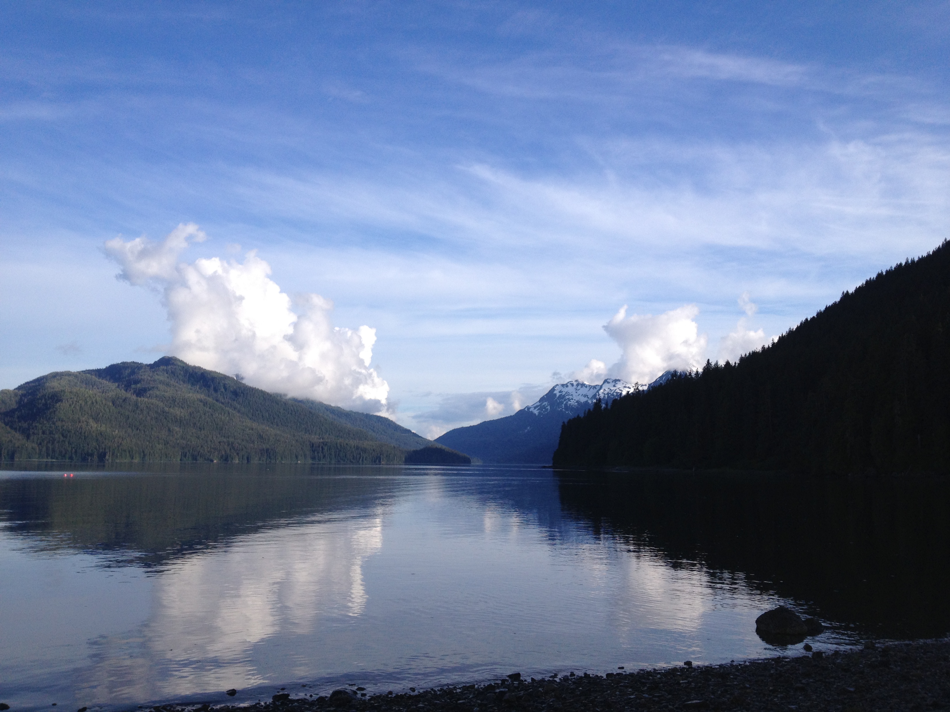
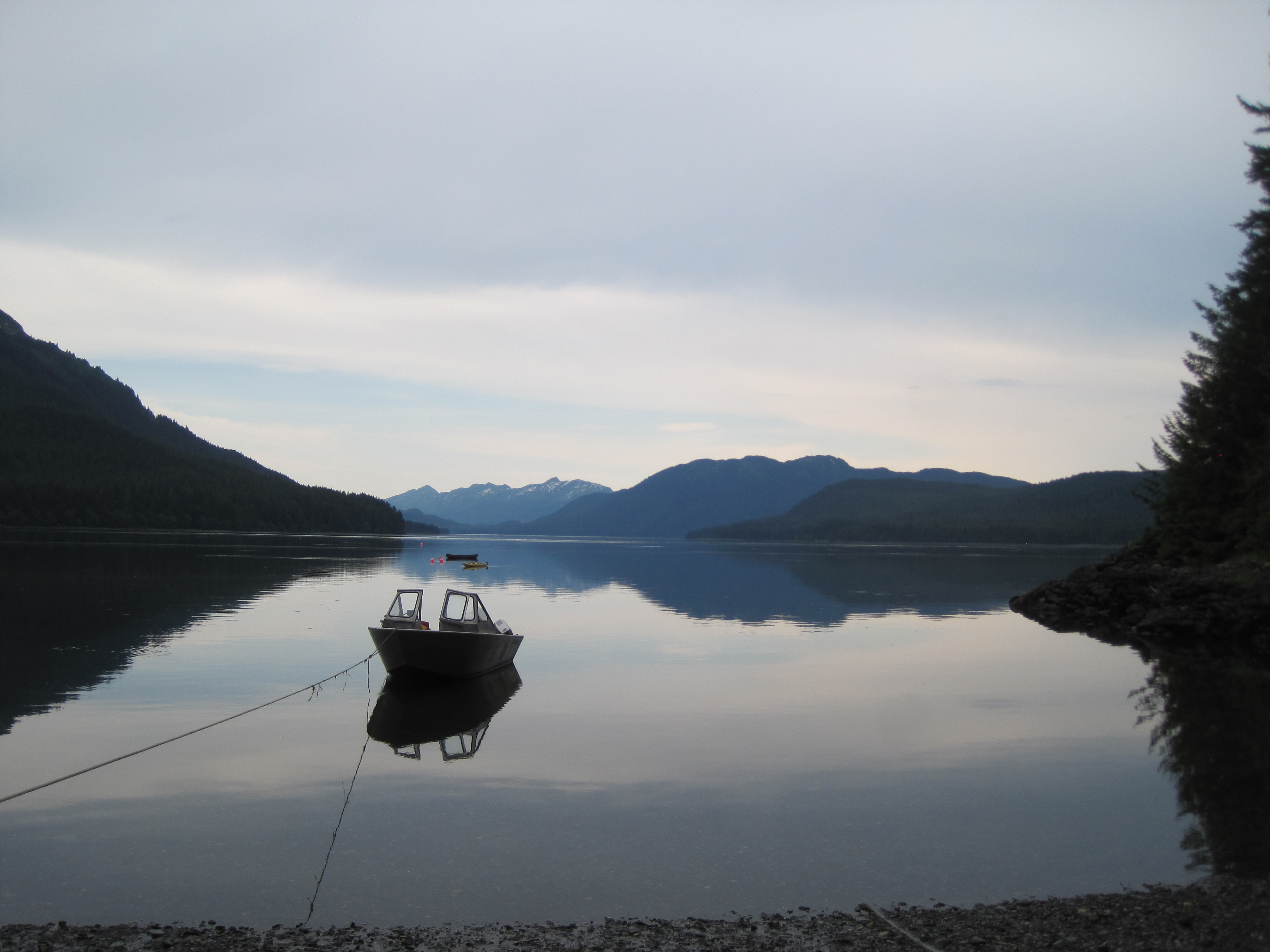
then we got in the skiff and visited Windfall Harbor, what a
beautiful area.
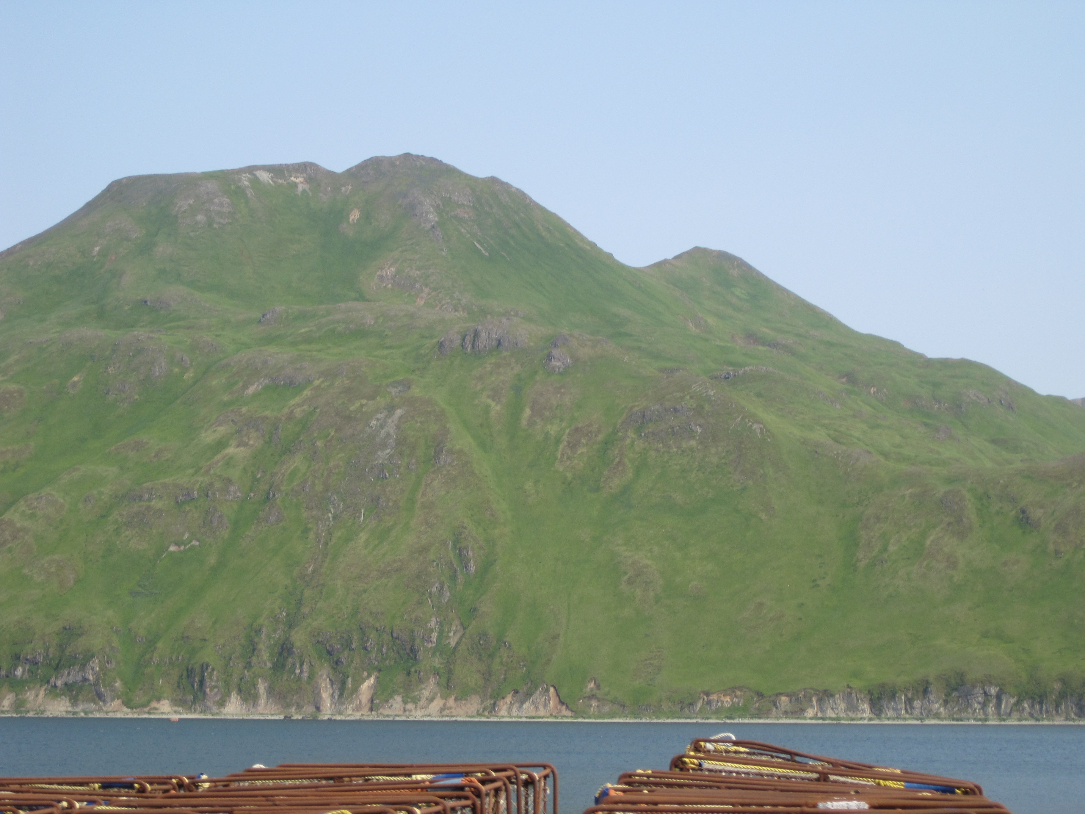
you can see all the crab
pots here.
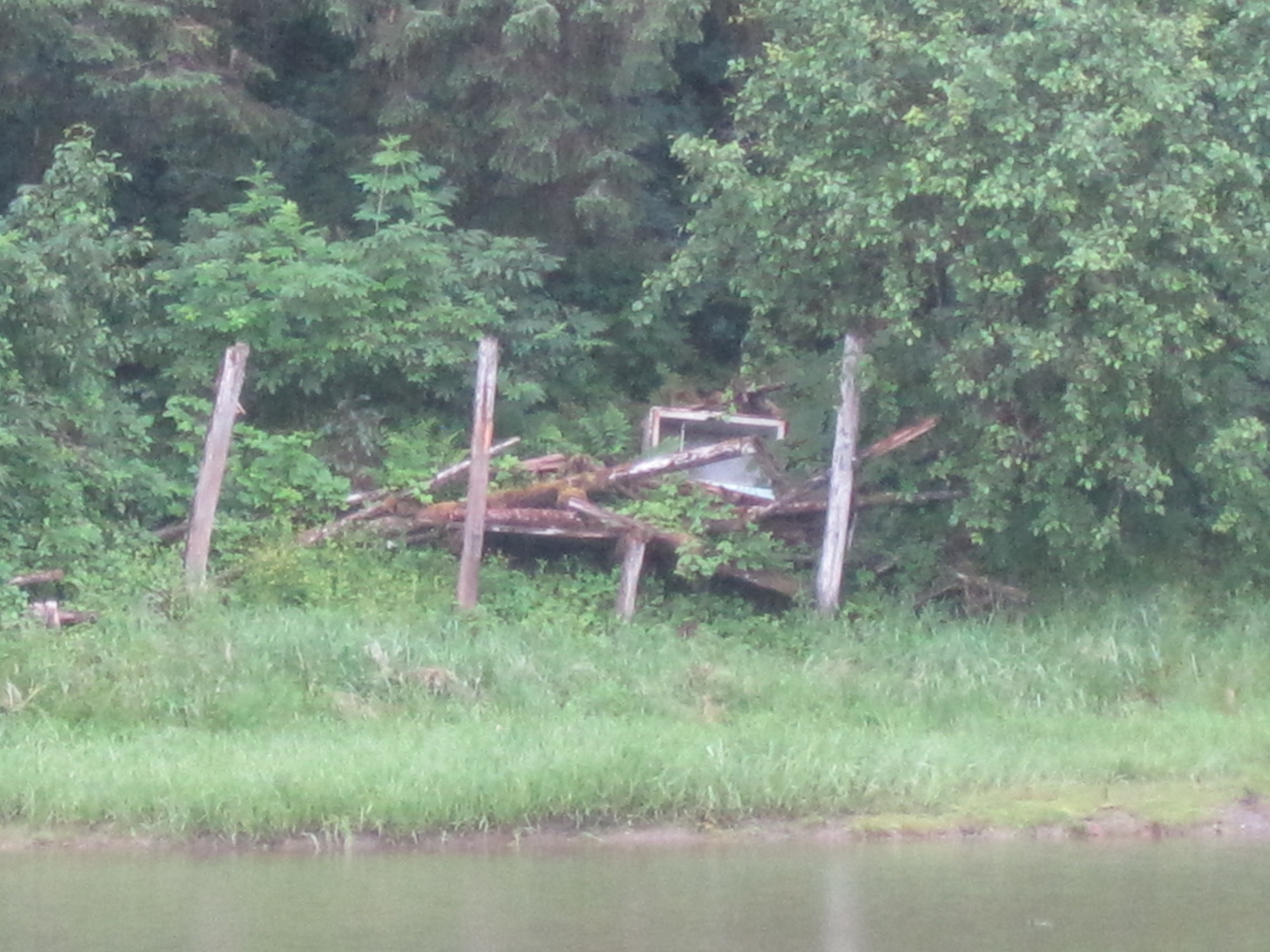
damaged or trashed by the crabbers (professional fisherman that
collect/sell crabs). They toss their extra crab pots in the woods
along with other junk and just leave it. They often trash the
campsite with their garbage and don’t clean up after themselves. It
is just a bit sad.

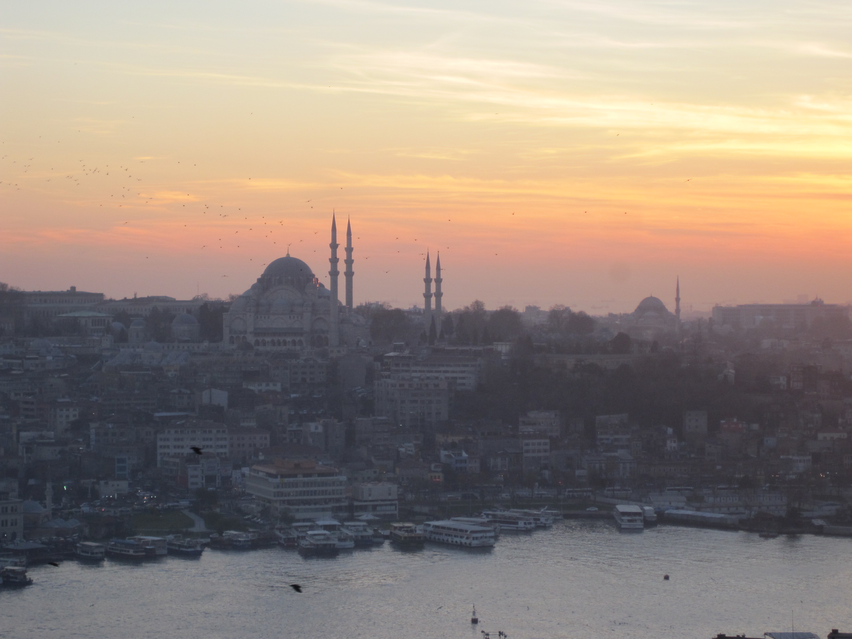
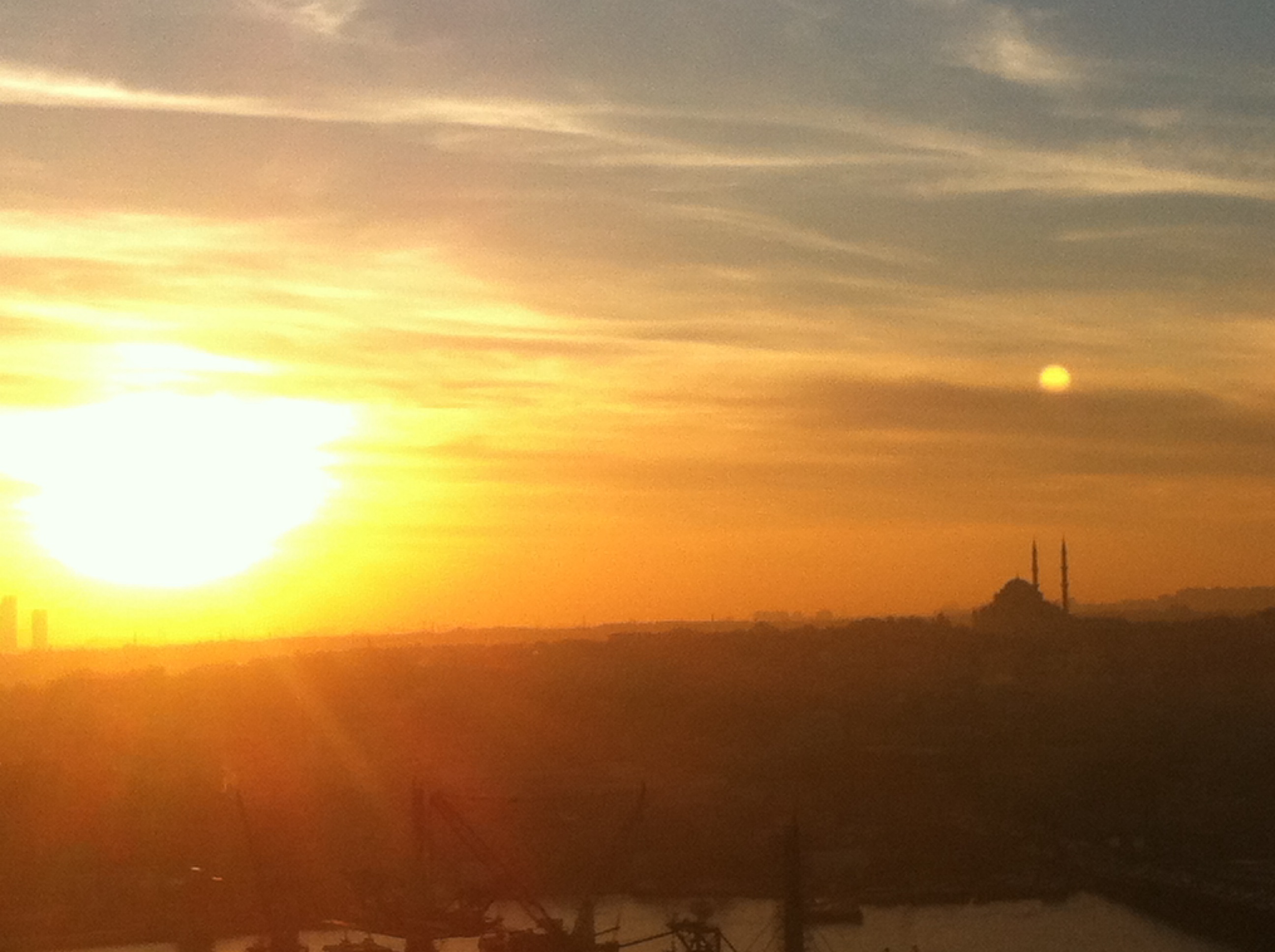
sun setting on
Windfall

sea anemone in the
water
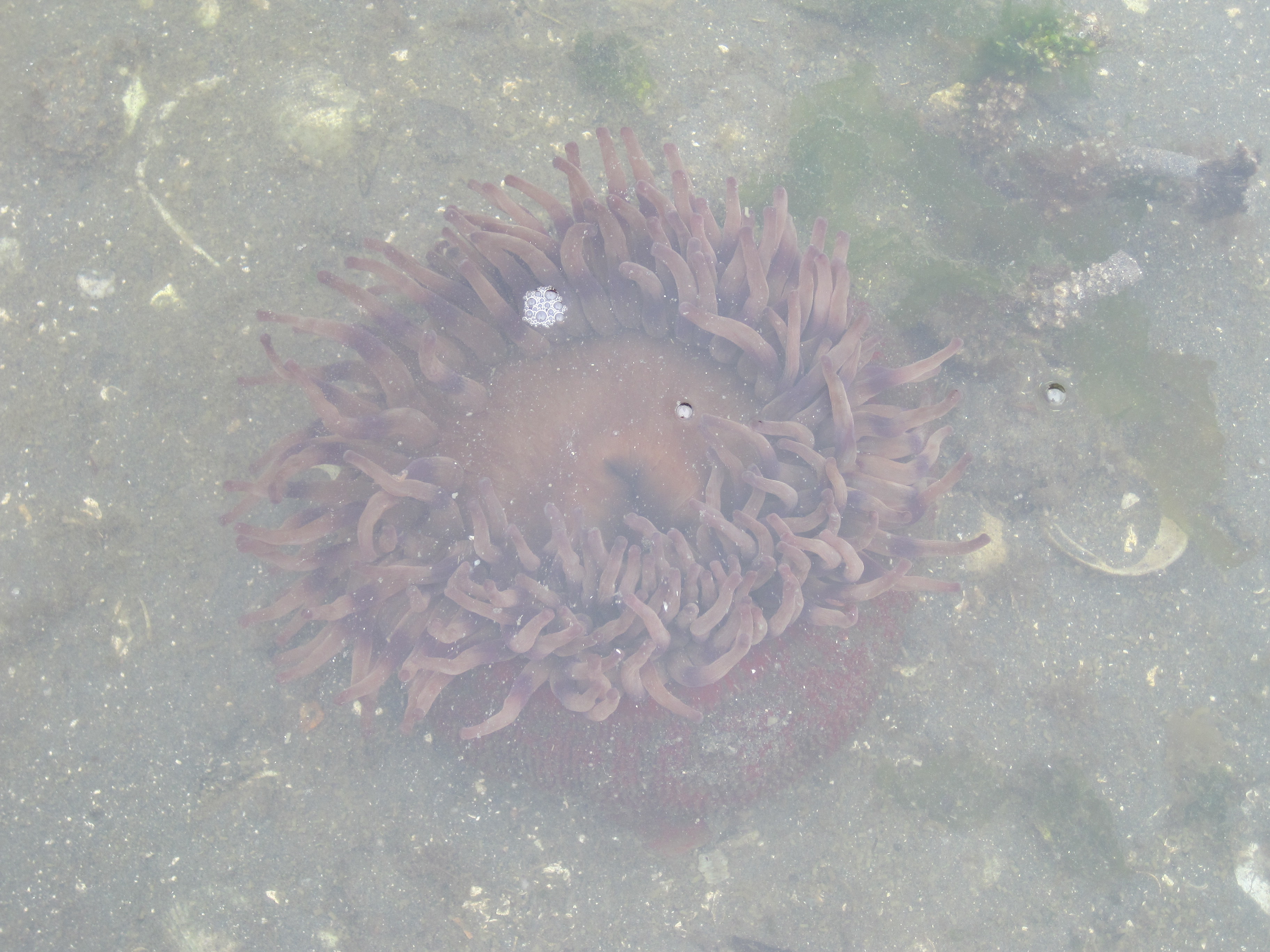
sea anemone in the
water
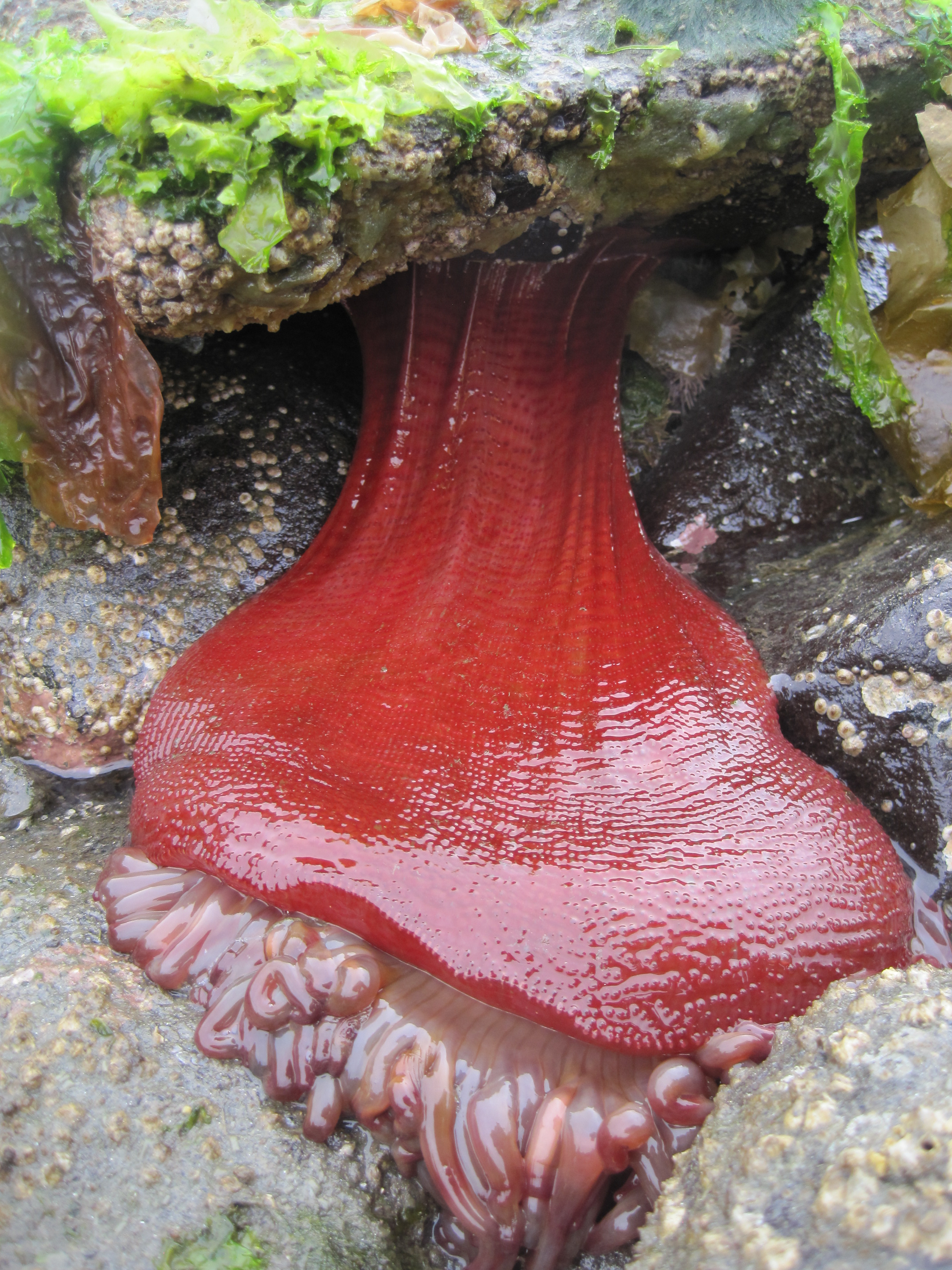
sea anemone out of water
on high tide

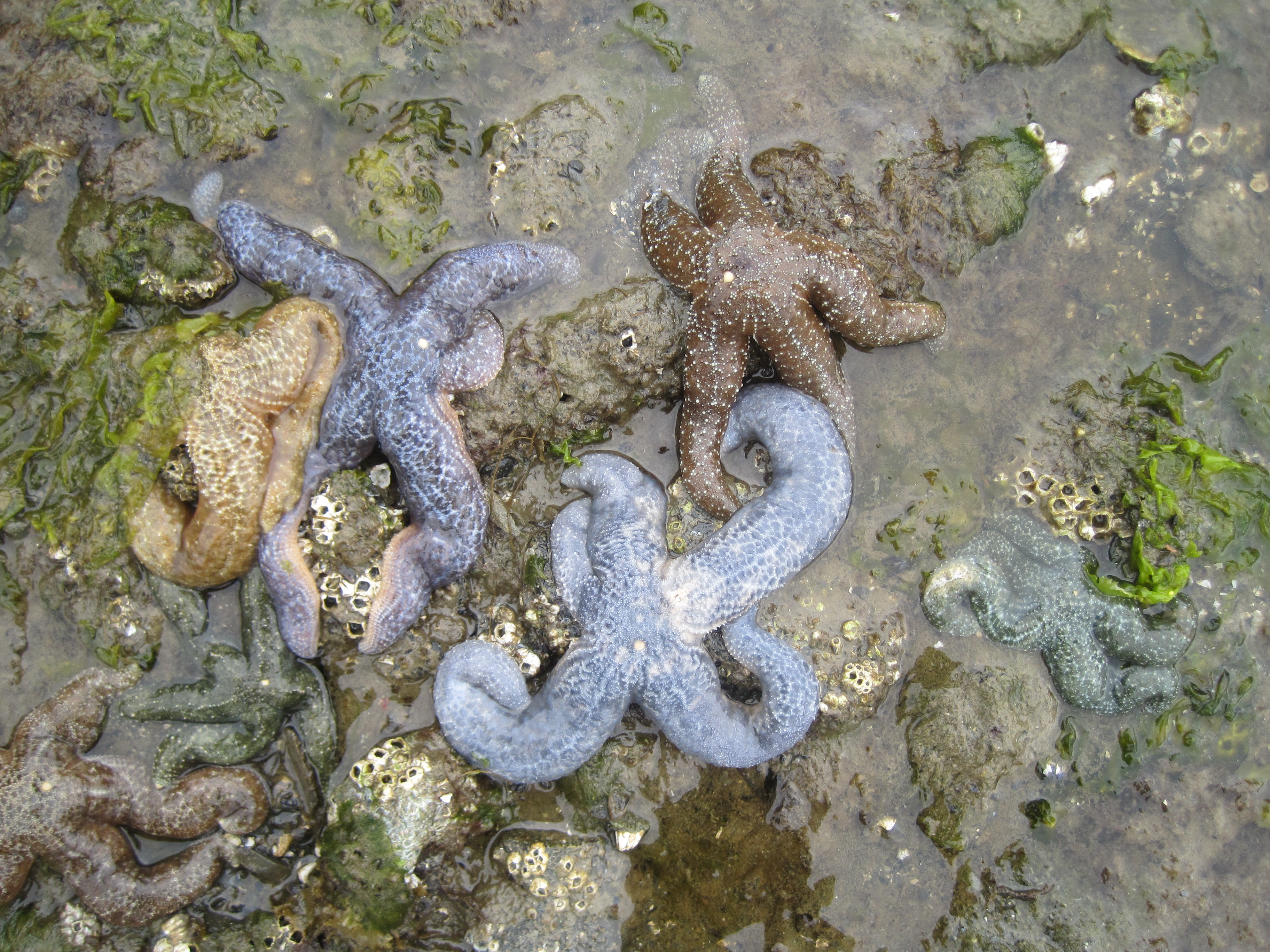
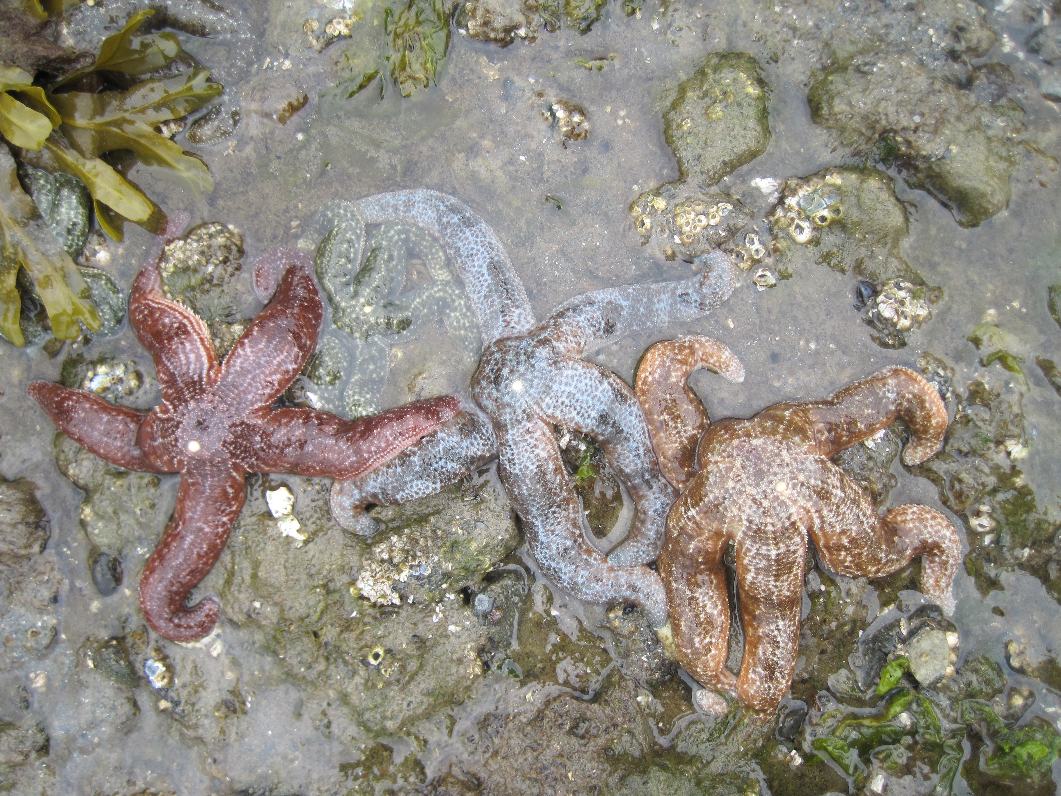
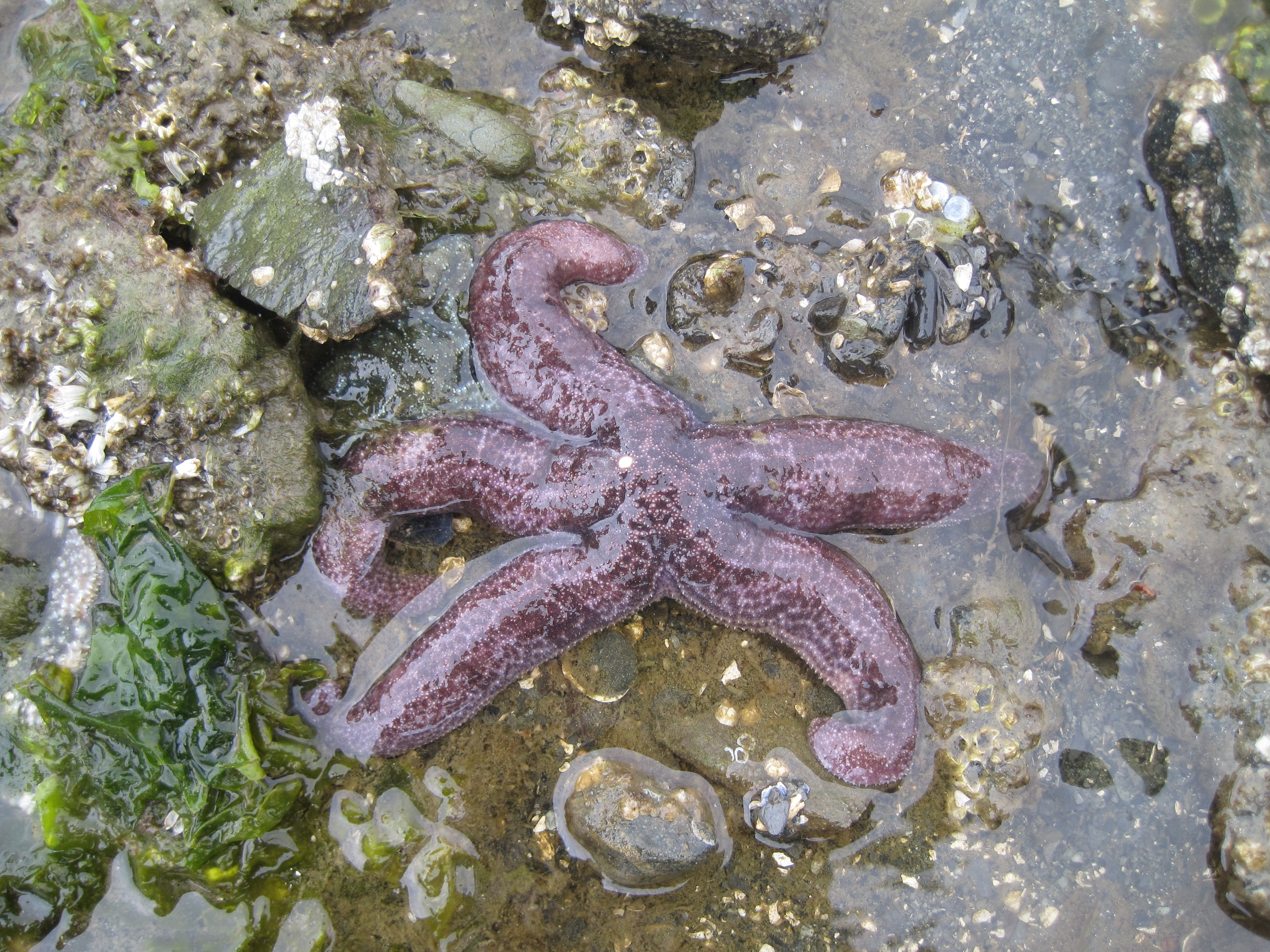
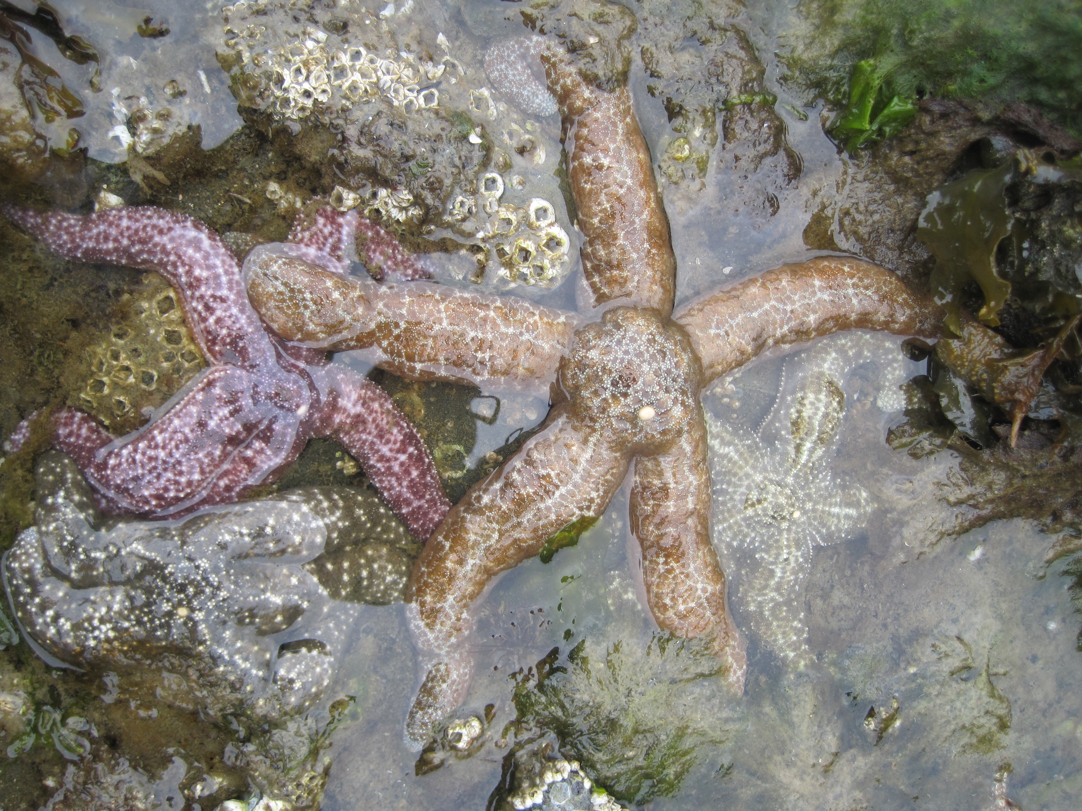
star fish
next day we set out to do the work that Harry needed to complete.
But before we did we stopped to take advantage of the low tide and
view the sea anemone’s at low tide, such interesting looking
creatures. We also got a good view of many, many, many starfish.
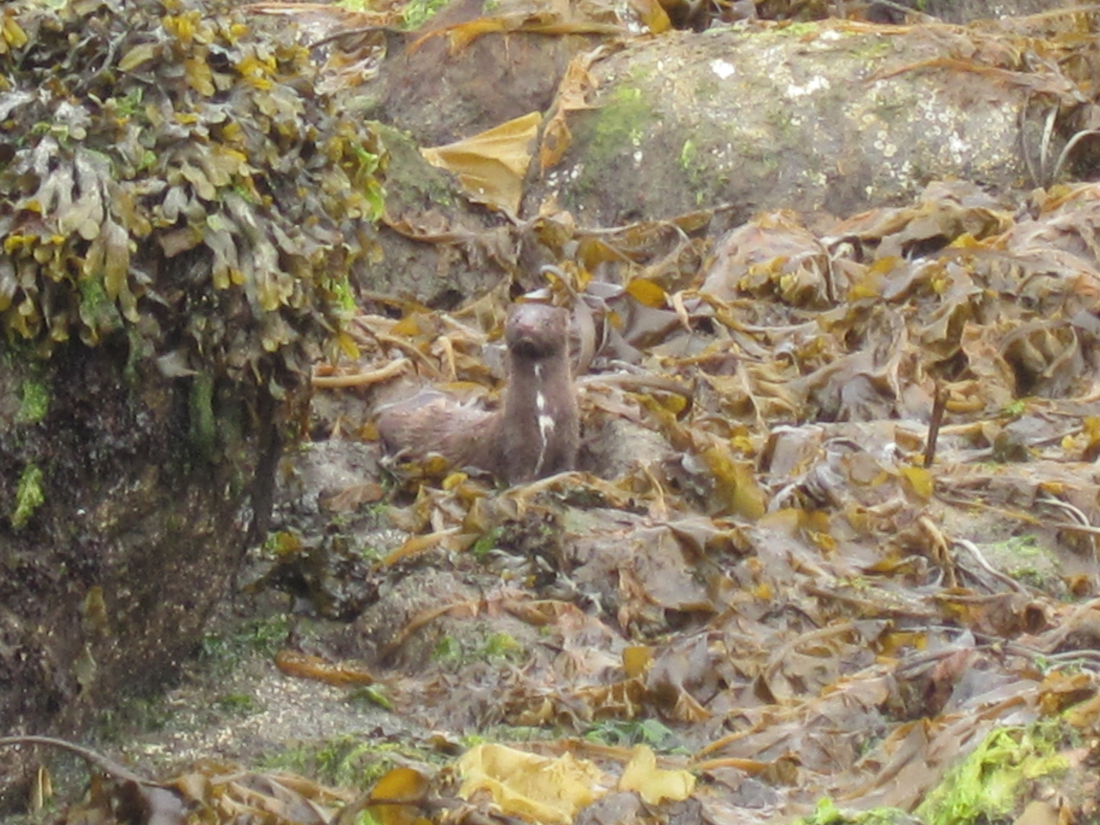
do you see the
mink?
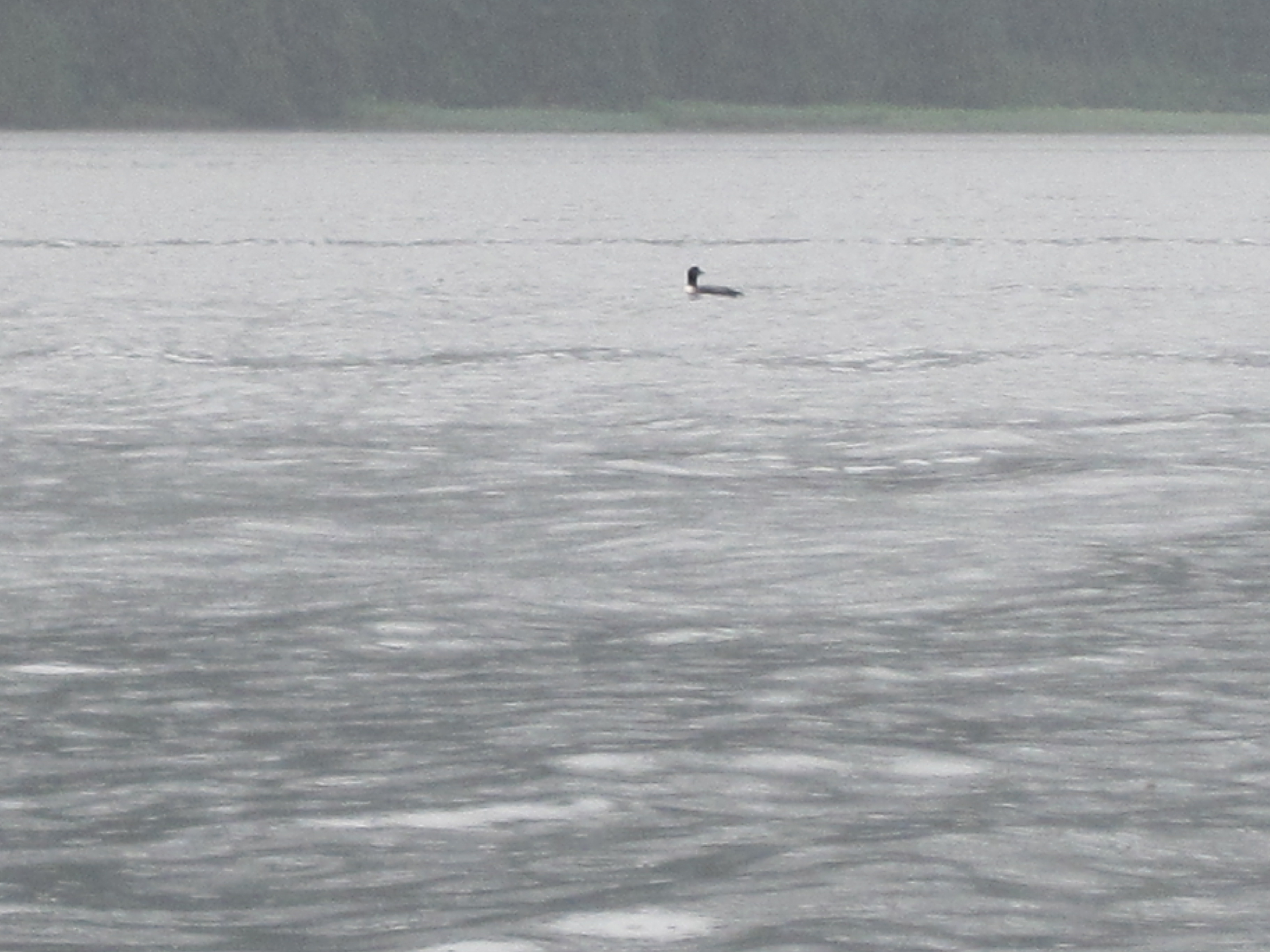
wish you could hear the
loon
We then went
exploring around the area, up and down Seymour Canal. We started up
in Pleasant Bay, then past the Bug Islands, into Fools Inlet and up
to Olivers Inlet. Along the way I saw a mom deer nursing her fawn,
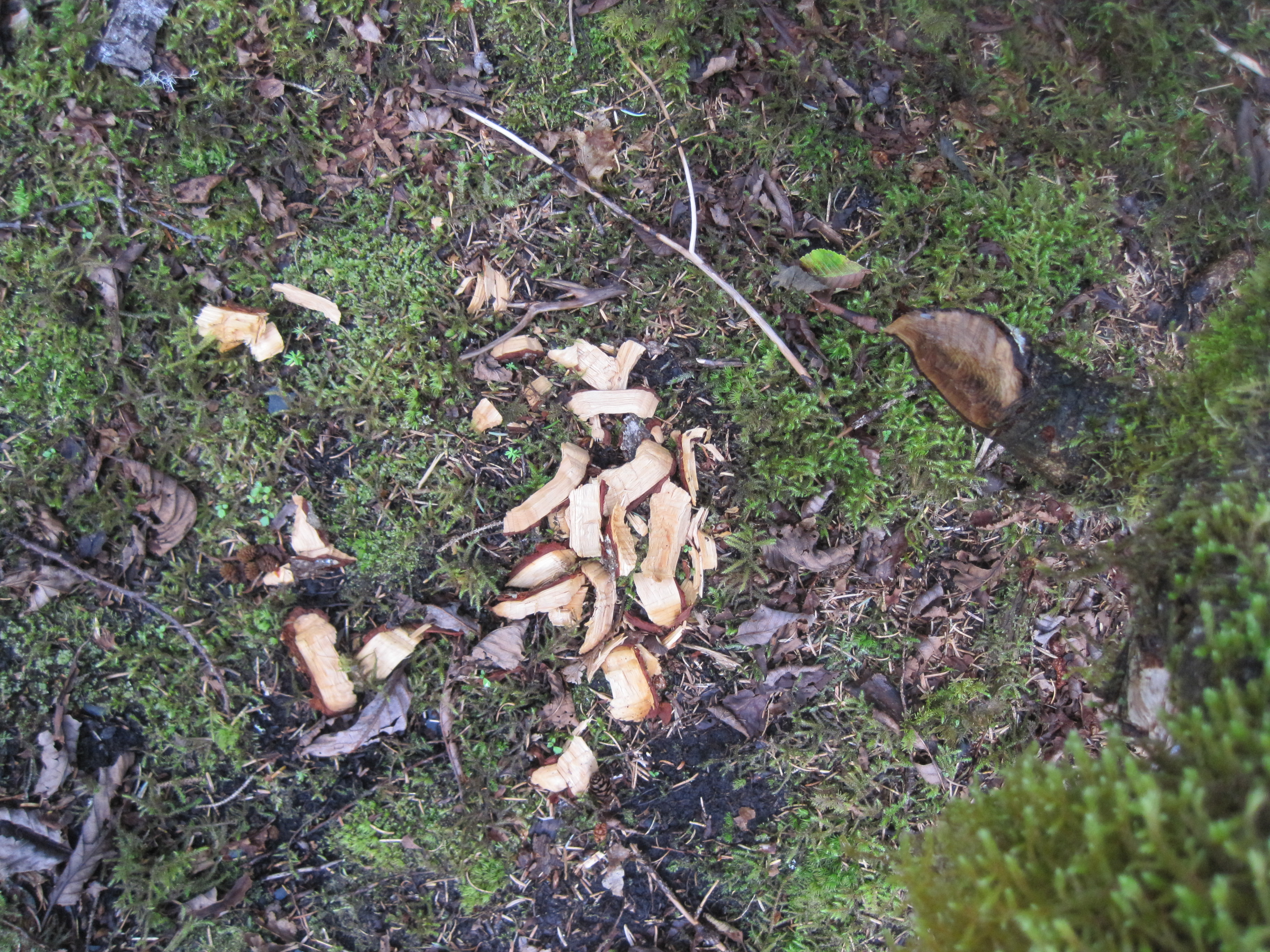
found gumboots both eaten and uneaten at low tide, we saw and heard
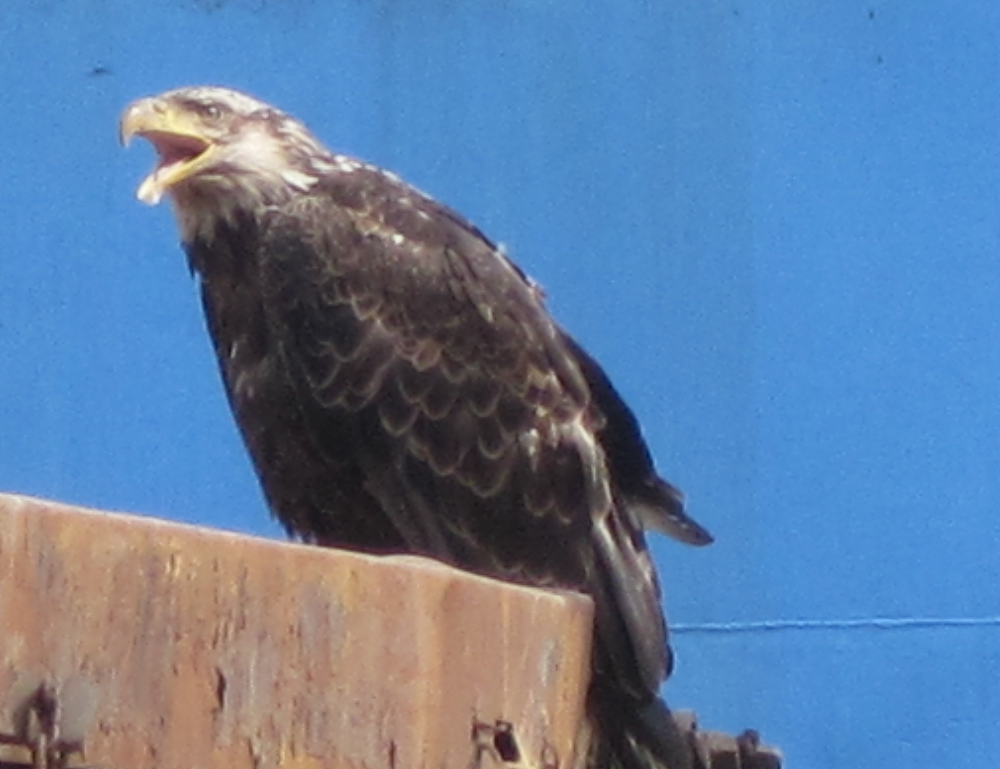
loons and 100’s of bald eagles. I learned that Seymour Canal has
more bald eagles per square mile than anyplace else in the world
(according to Fish and Wildlife). We saw wildflowers, beaver
activity and even a skeleton of a deer that had not made it through
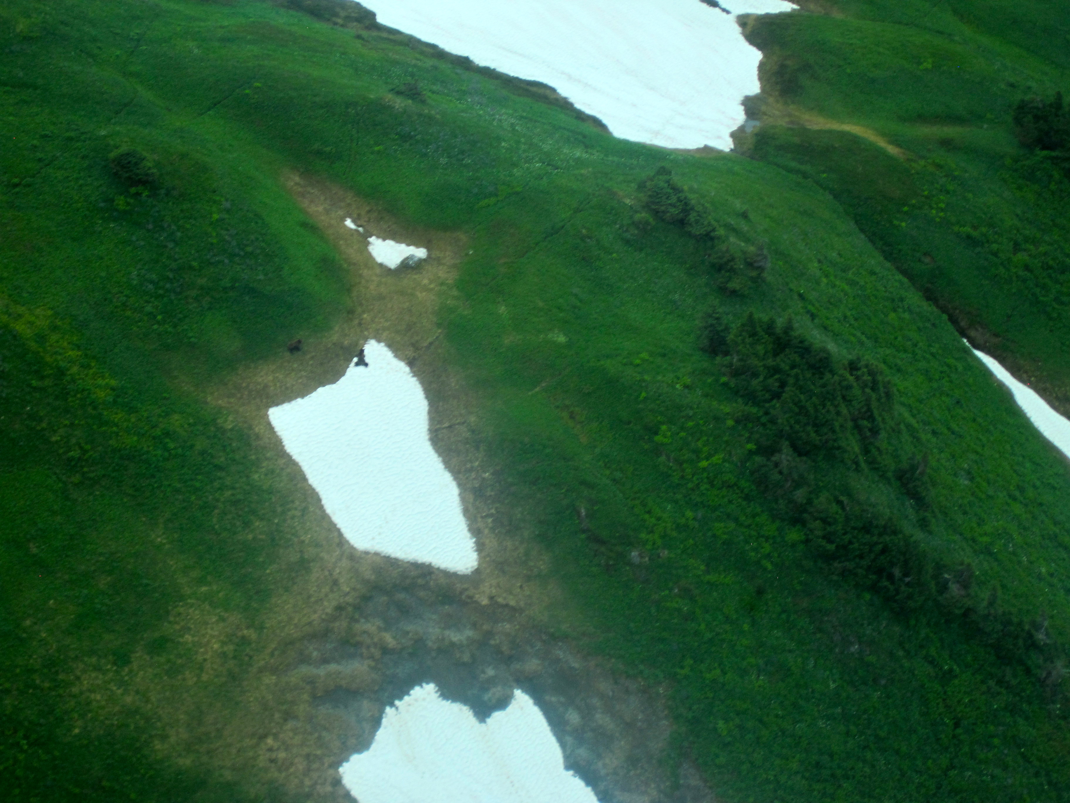
winter. We came across beautiful meadows and a salt chuck that was
amazing. Each time you turned a corner there was a breathtaking
view.We heard and saw loons throughout the trip, as well as a mink
or two on shore occasionally. The trip was just full of
nature.
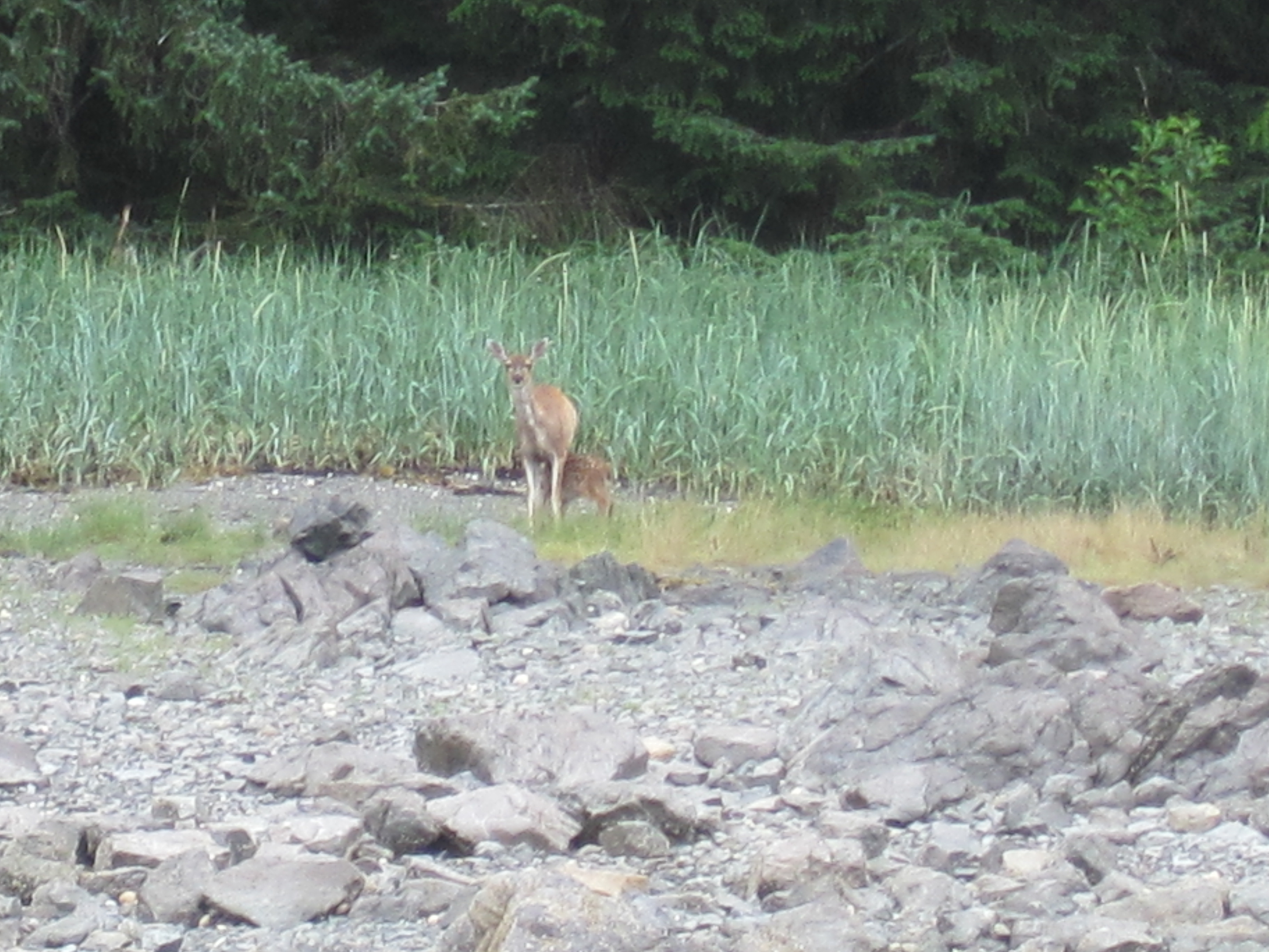
mama deer nursing her
fawn
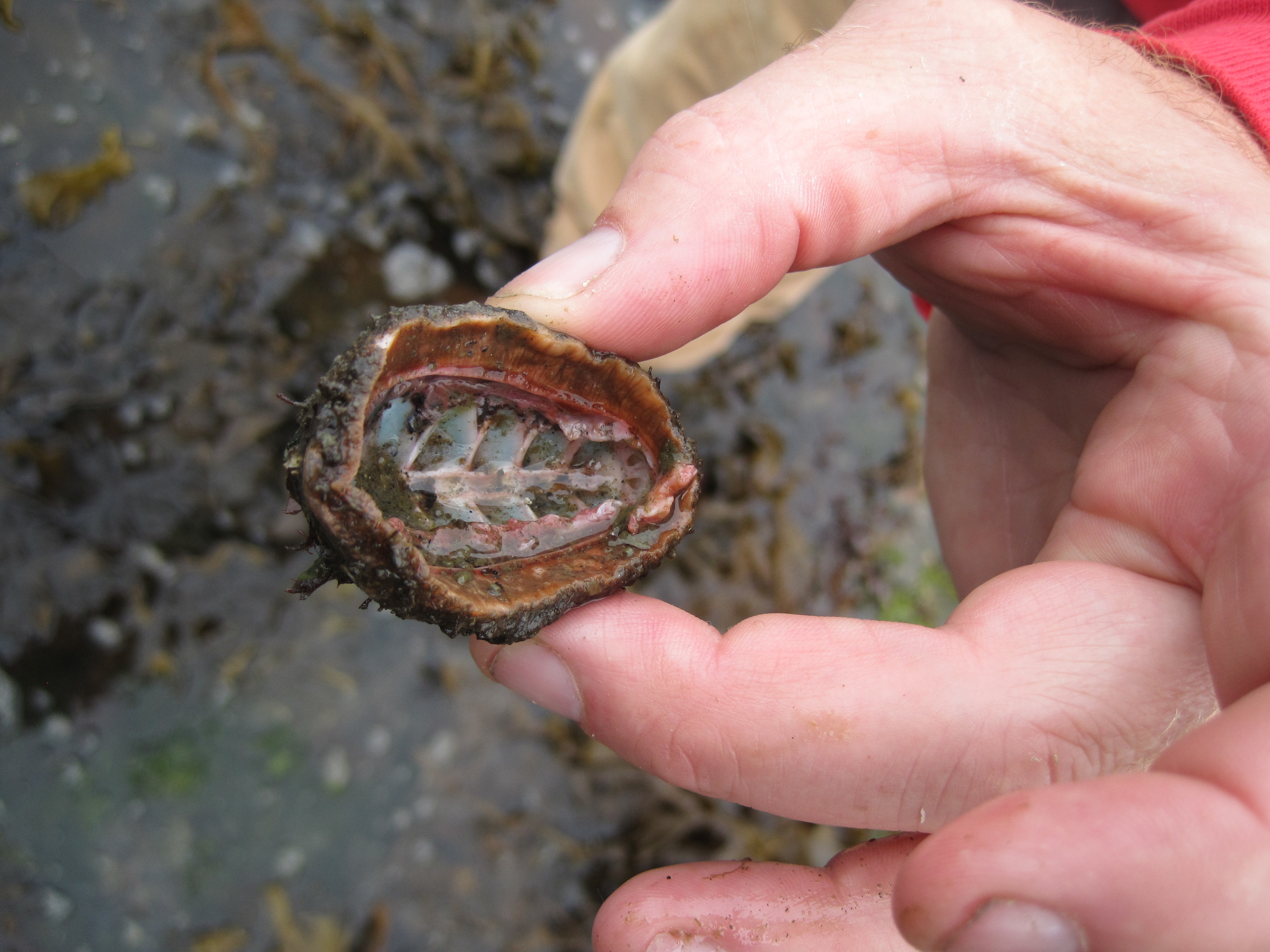
gumboot
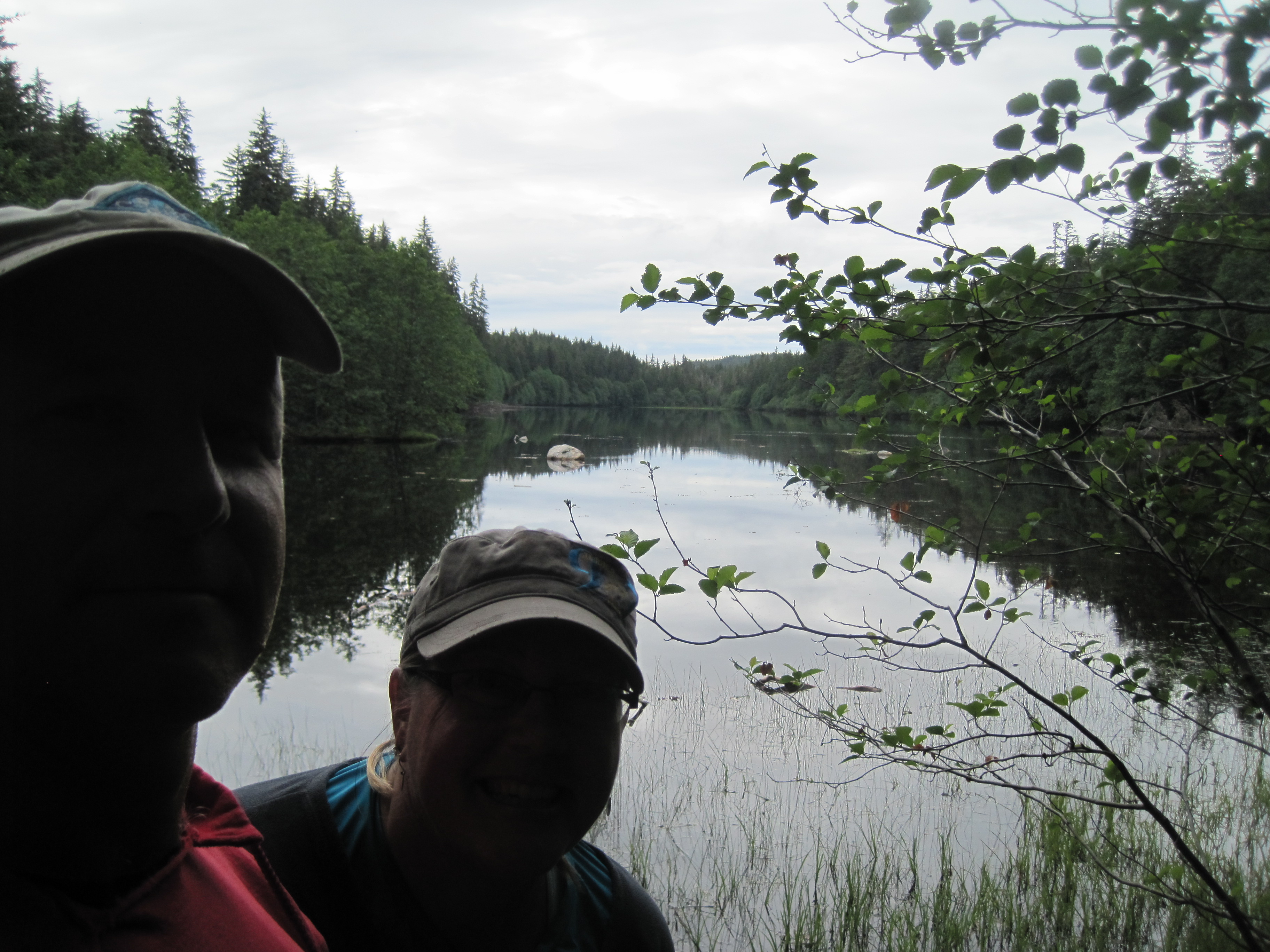
the salt chuck behind
us
busy beavers

deer skeleton

wild blue
geranium
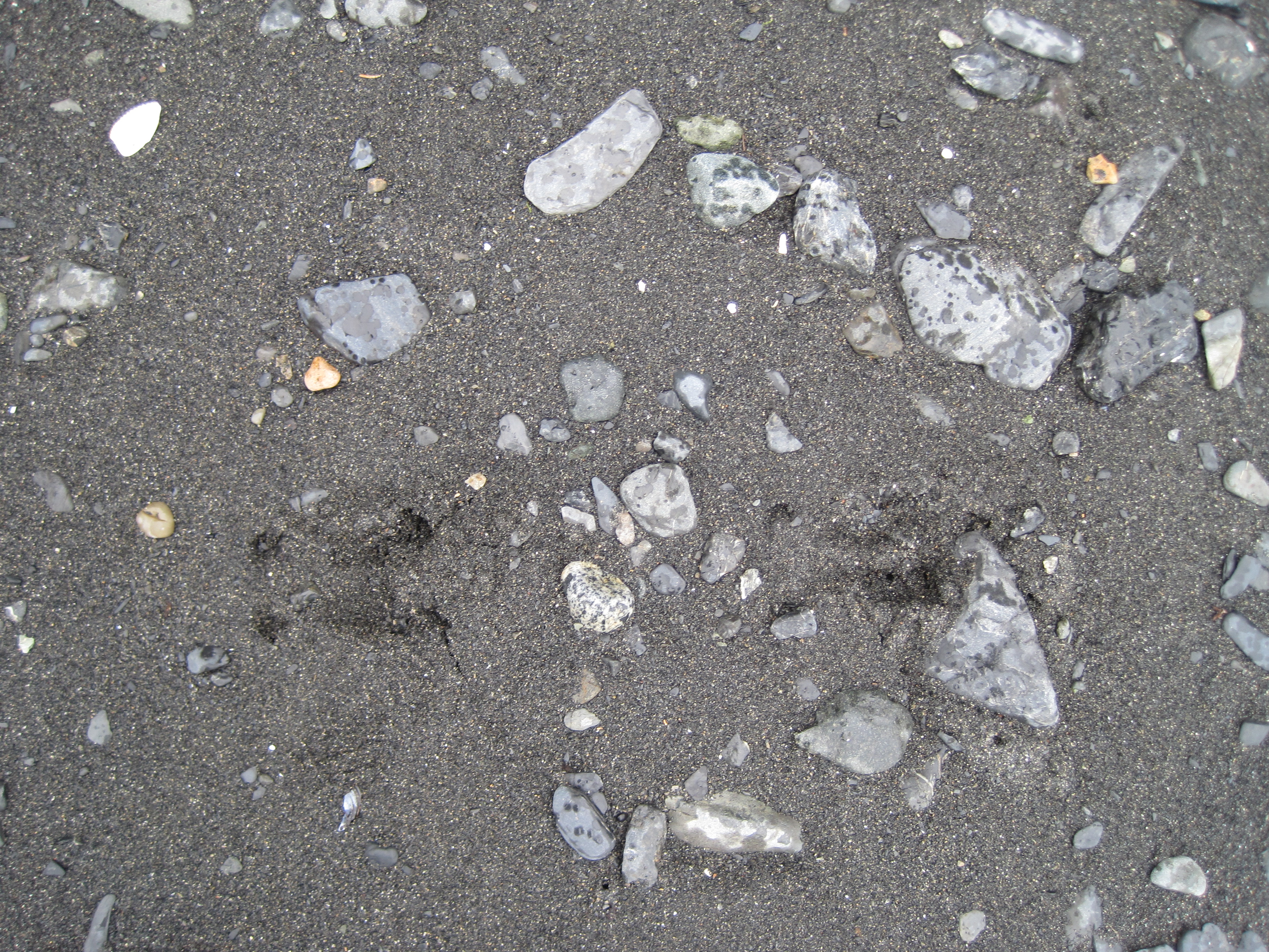
deer tracks on many of the
beaches
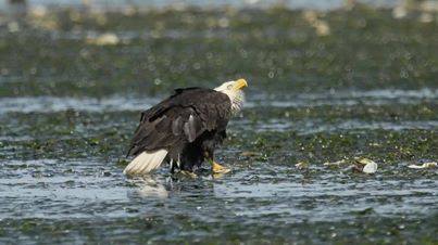
eagles were everywhere in
the area.
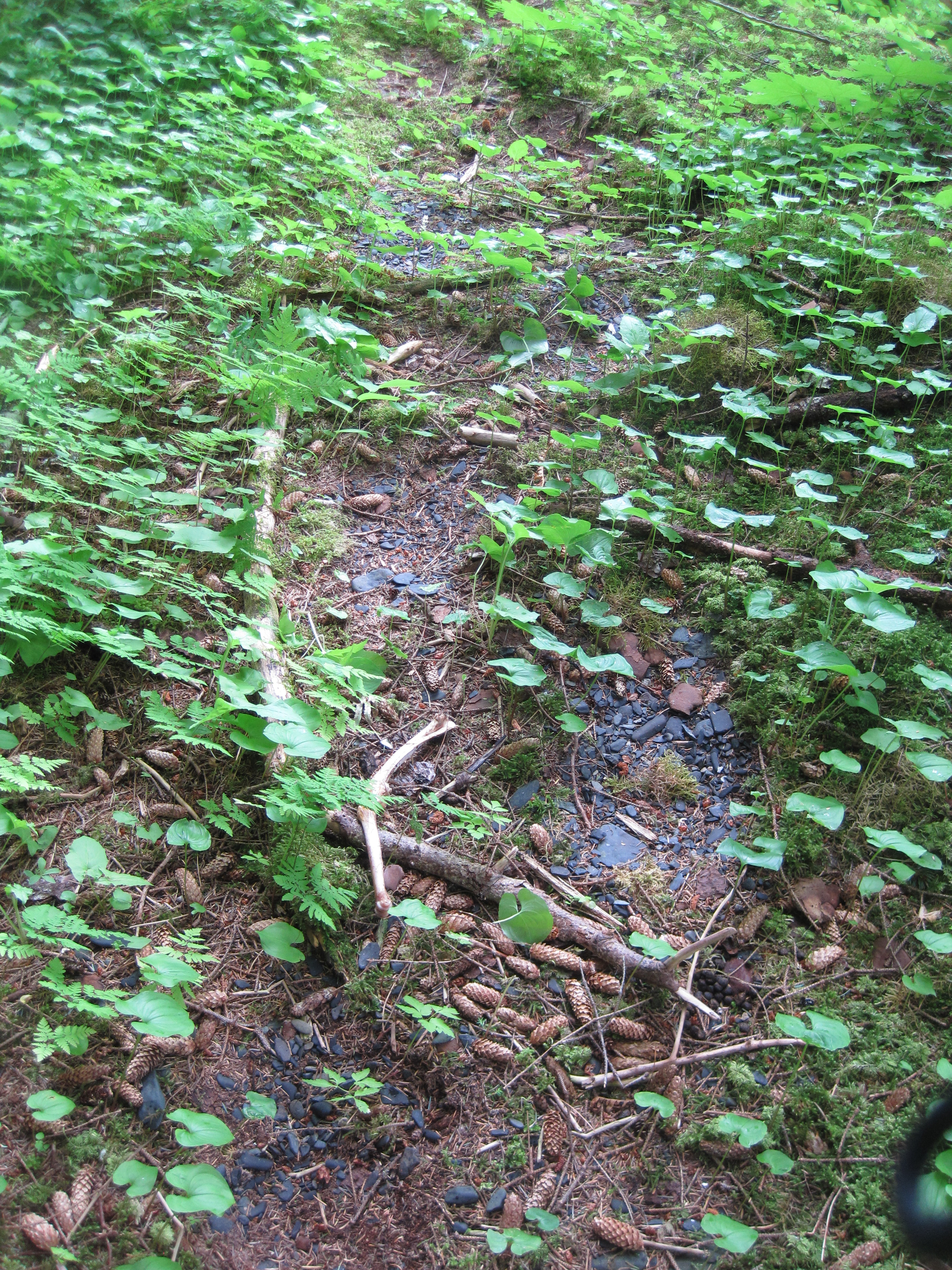
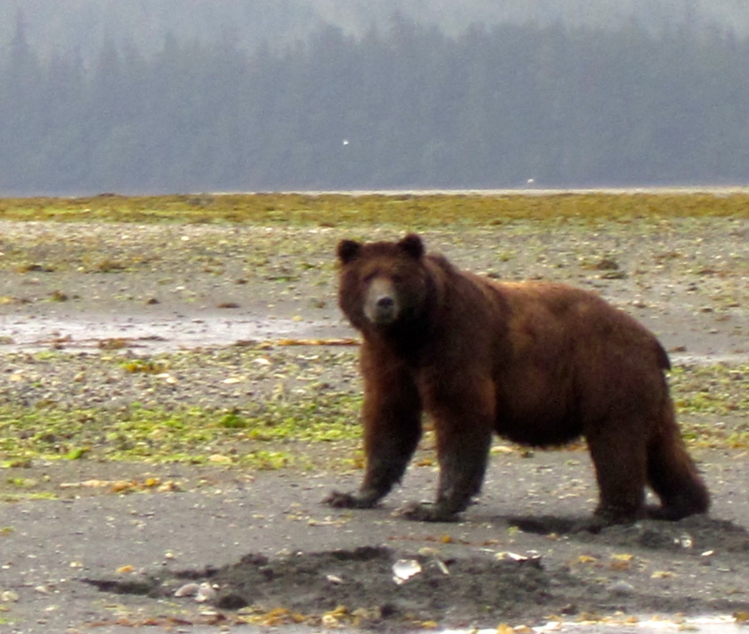
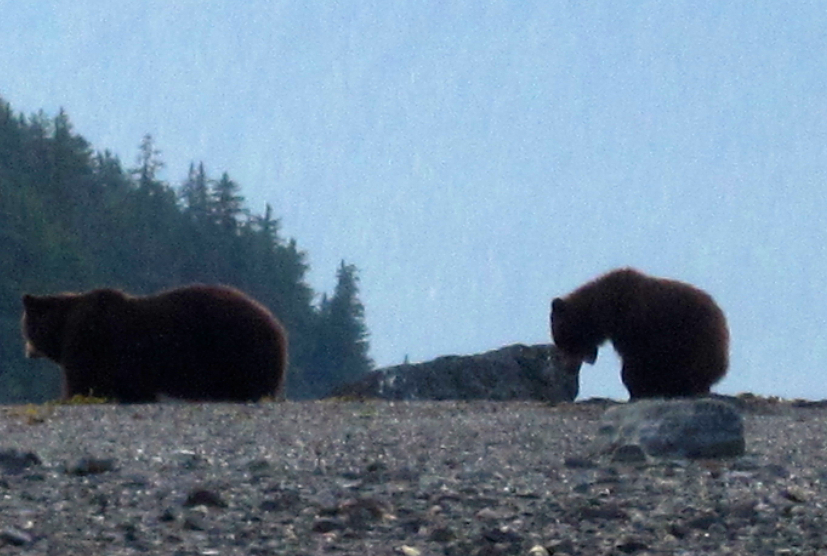
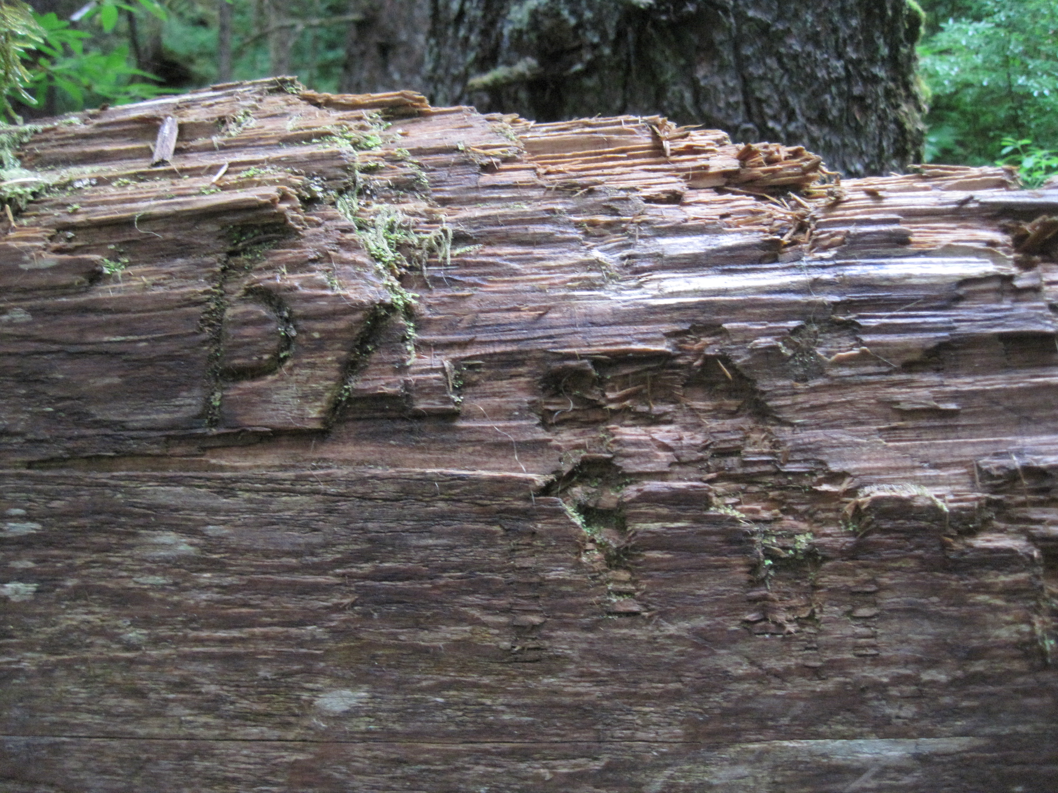
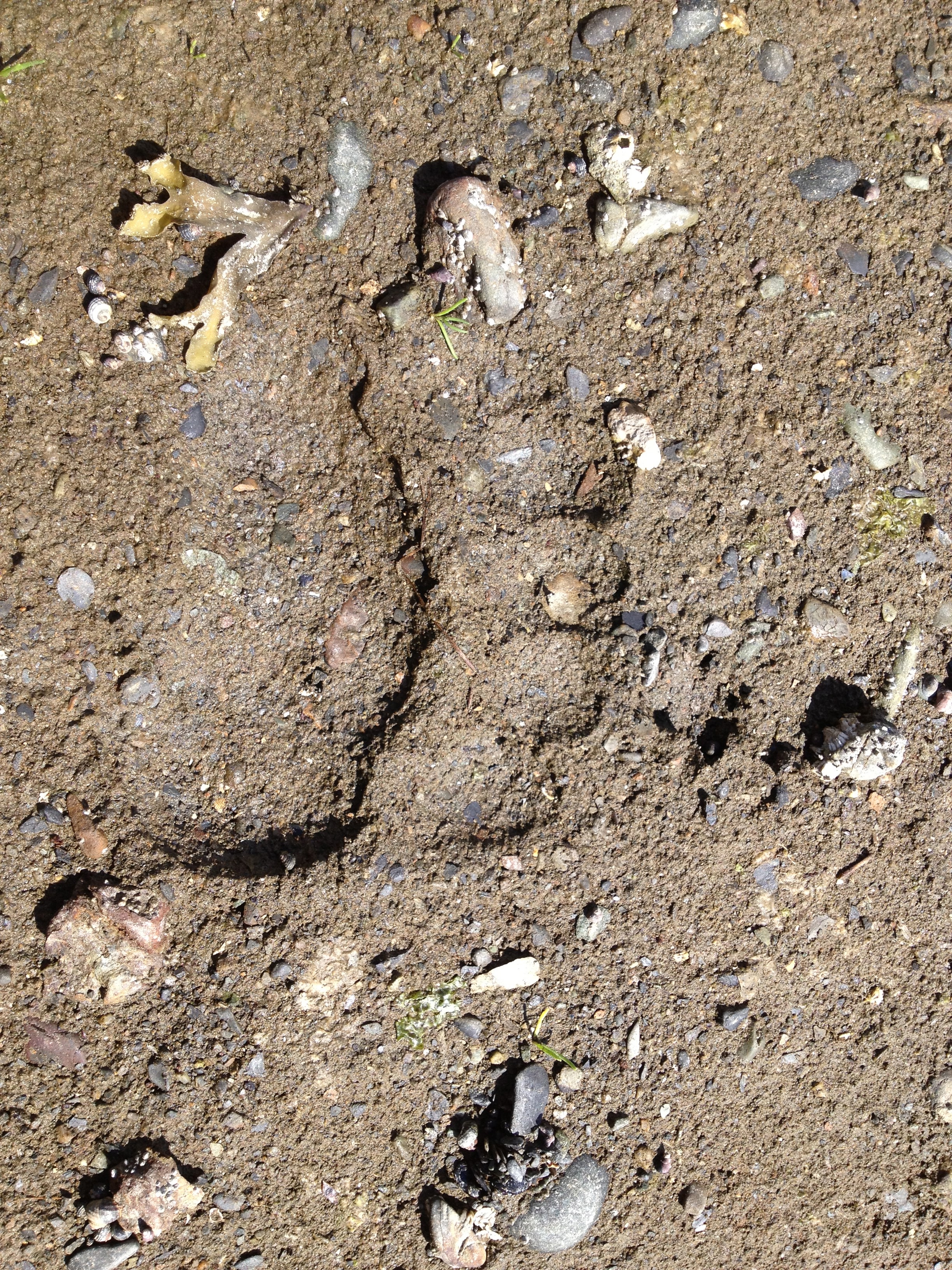
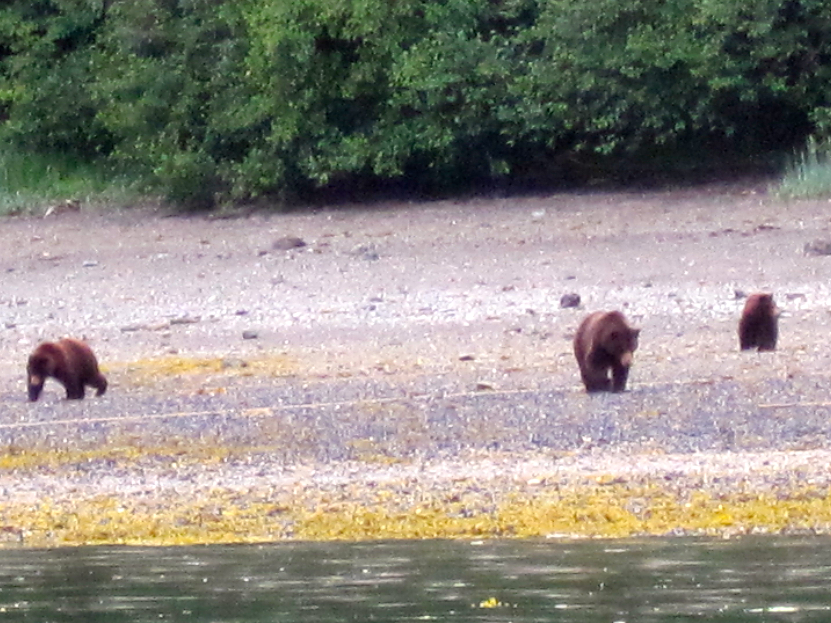
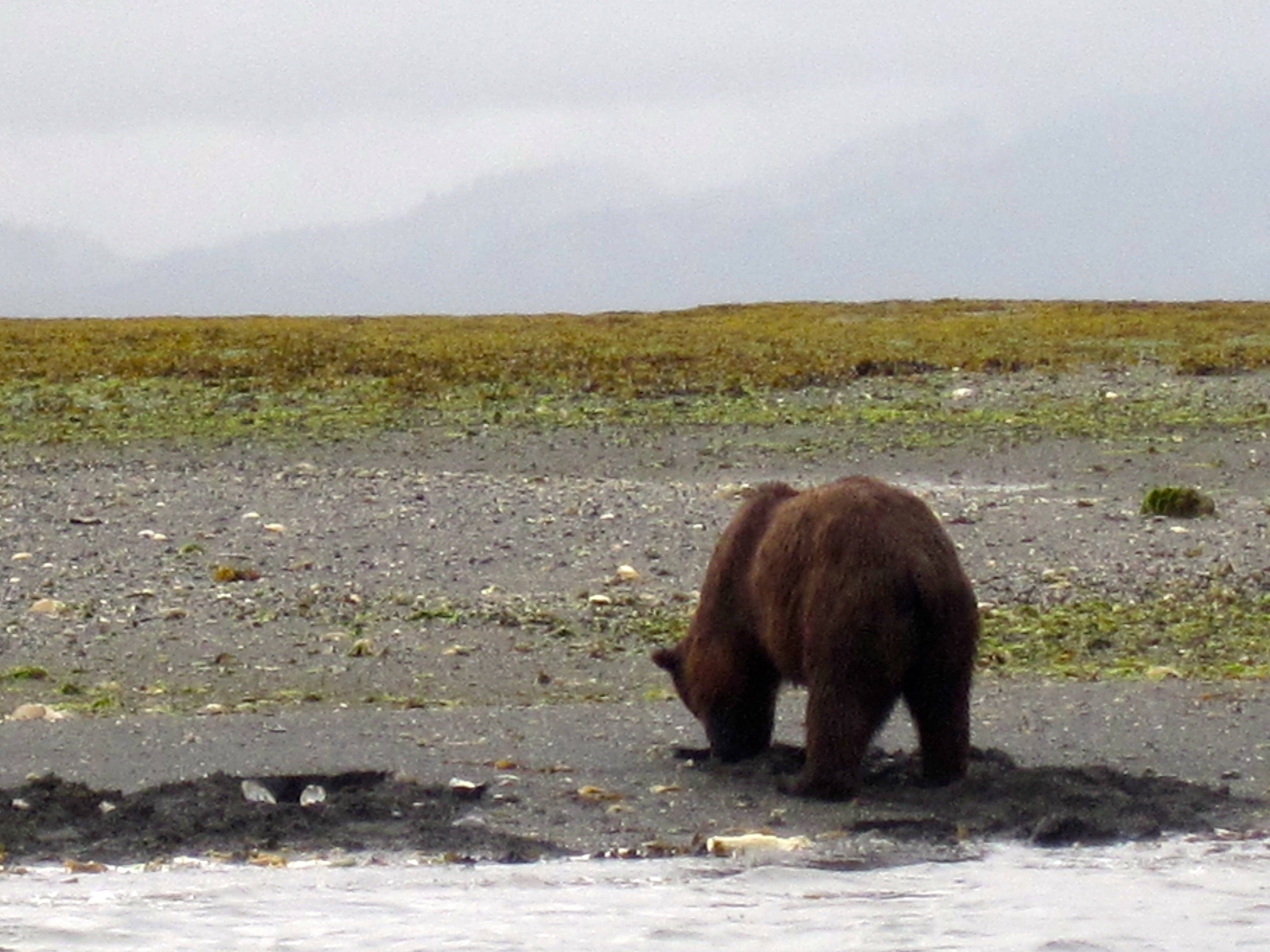
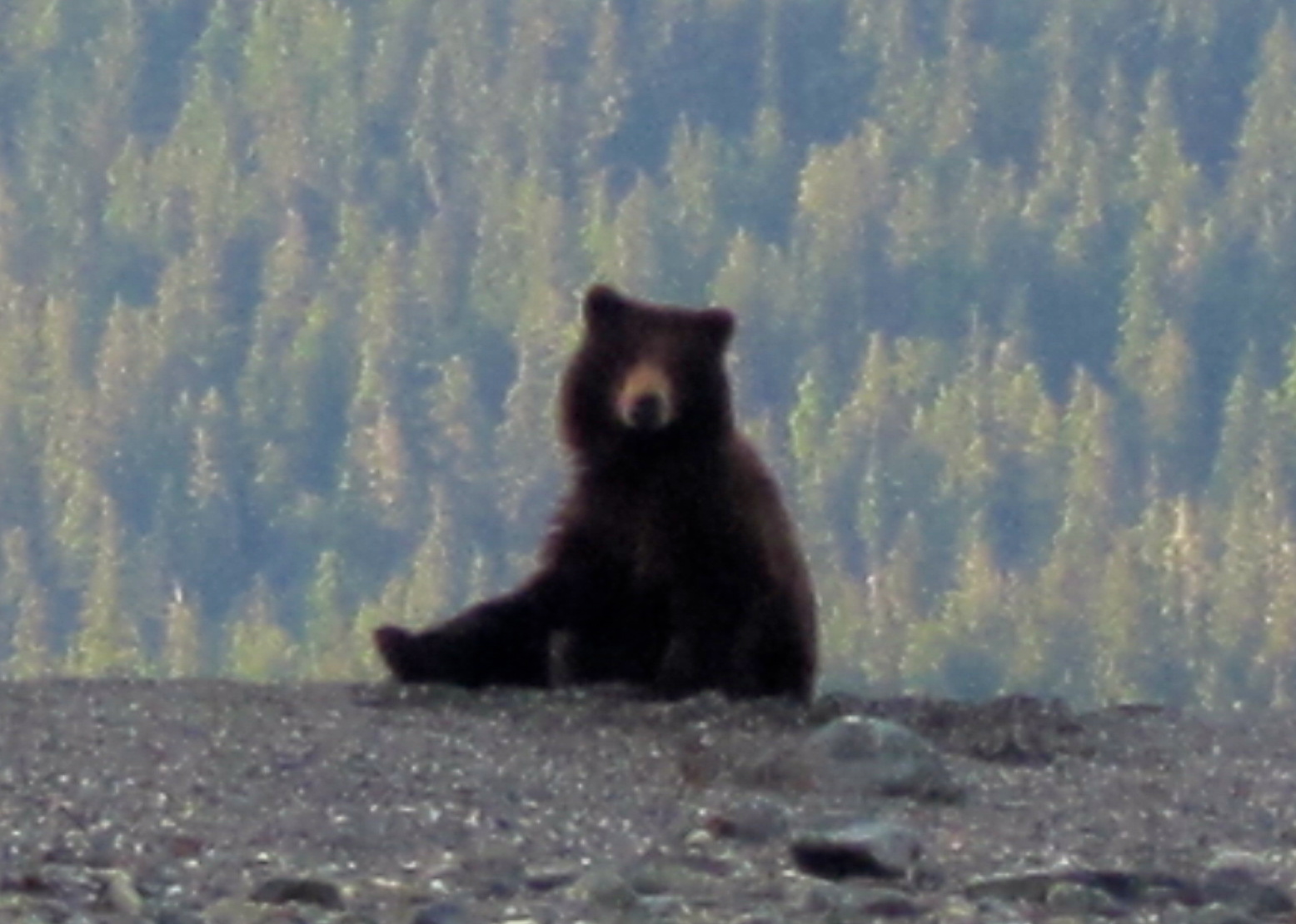
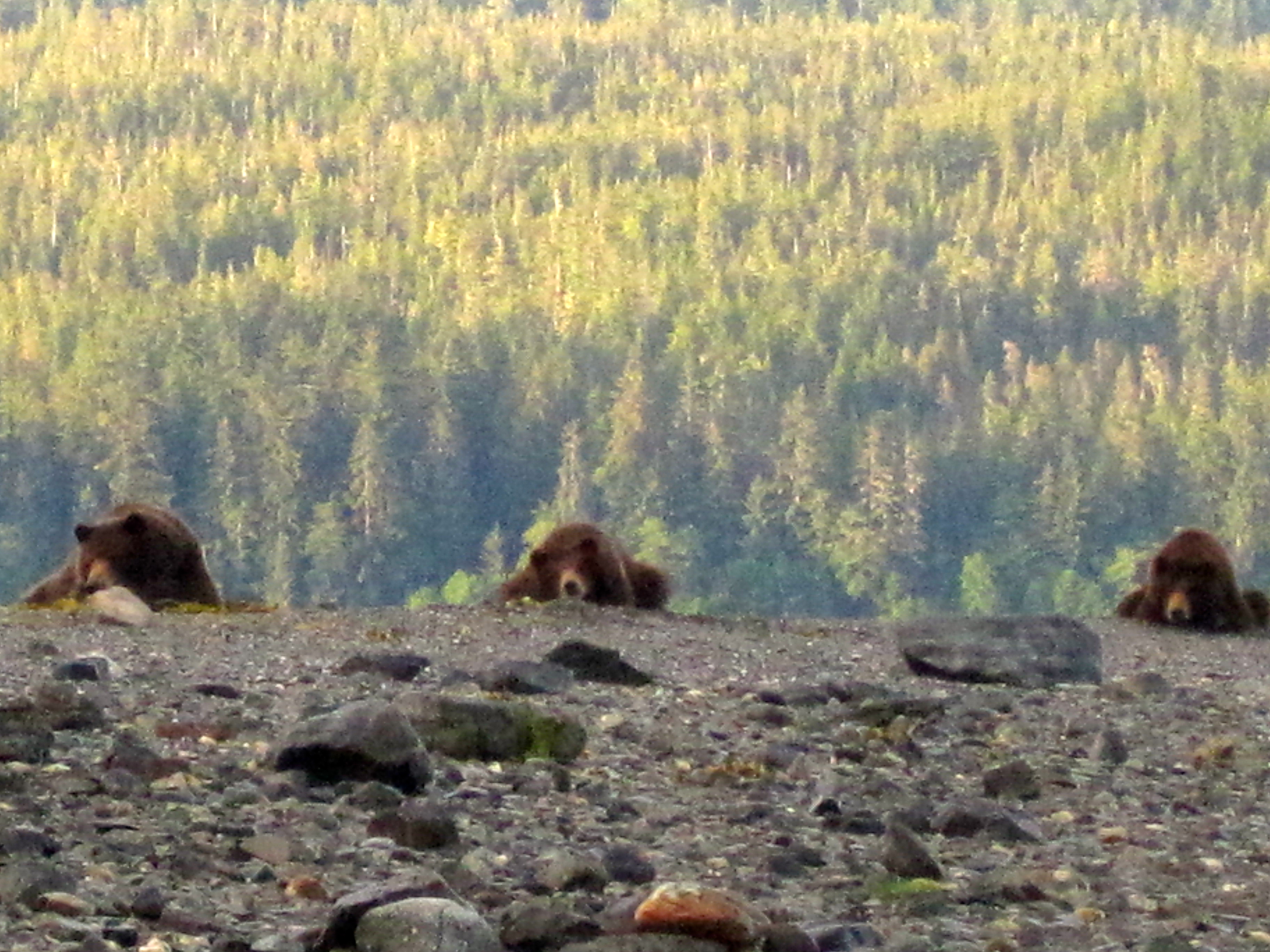
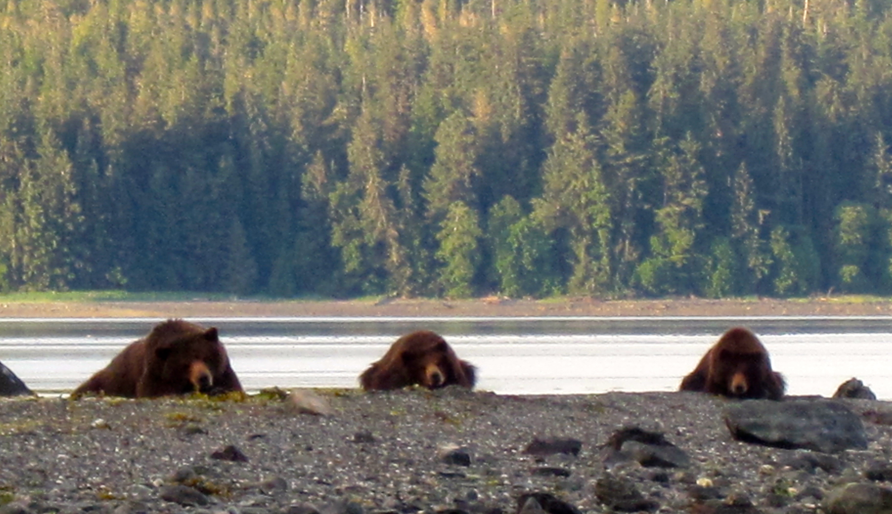
brown bear follow the same
path over and over and over and over again, and you begin to see
these pad marks in the ground.
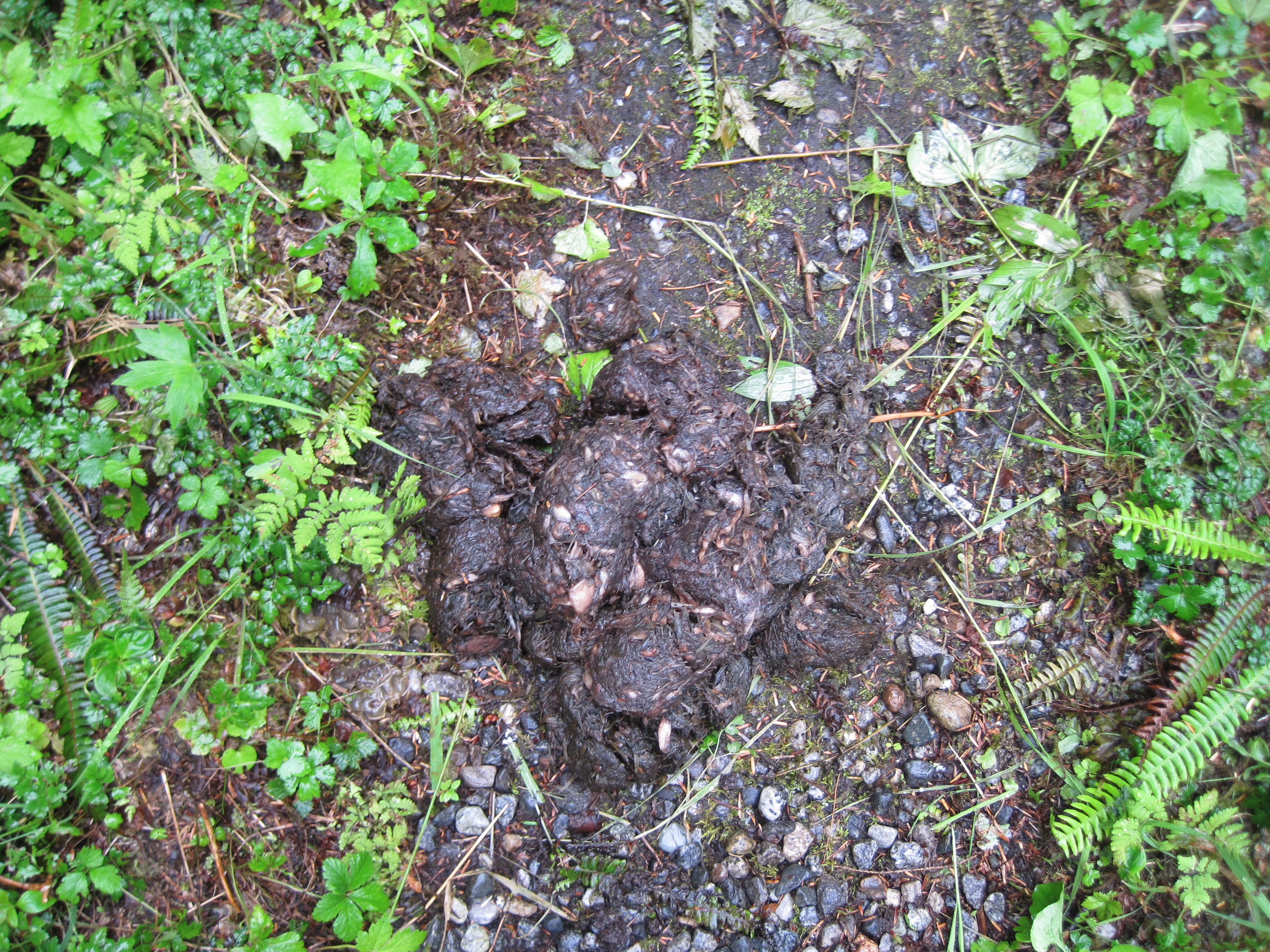
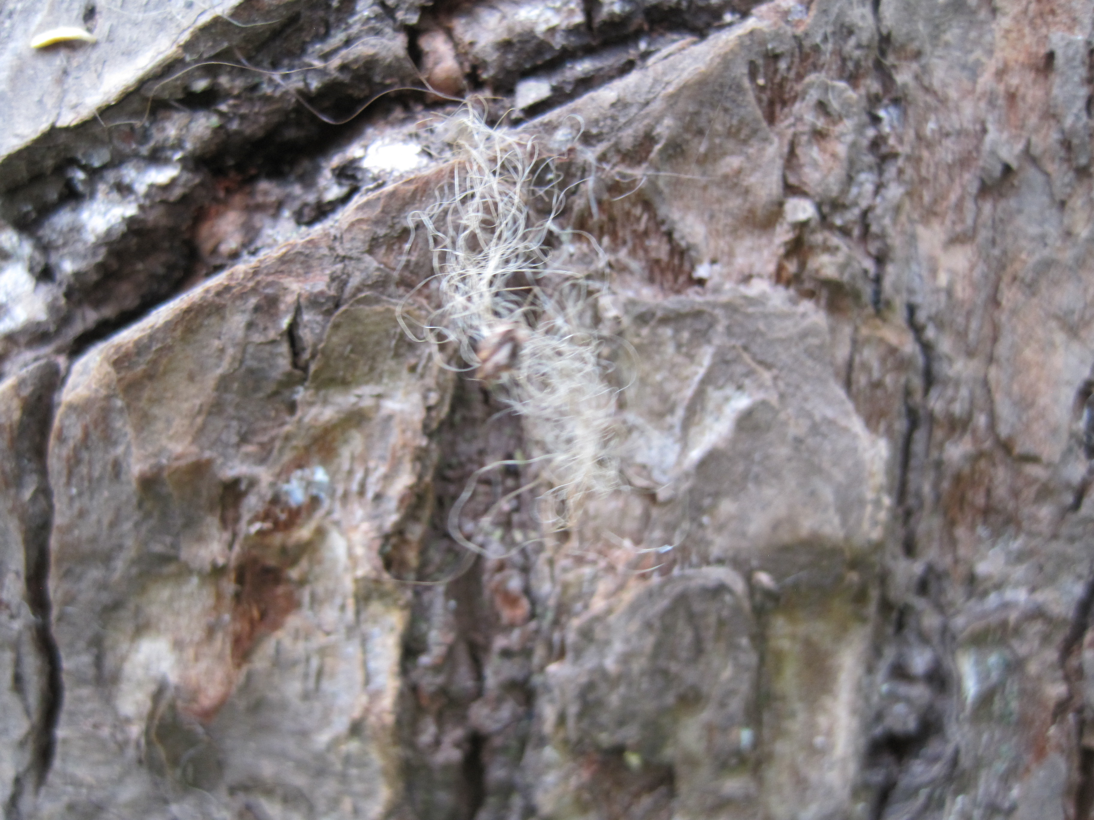
Last but not least were the brown
bears. We saw many of them on this adventure, but you will have to
visit this blog to read more about them:
https://timistravels.wordpress.com/wp-admin/post.php?post=2536&action=edit&message=6&postpost=v2