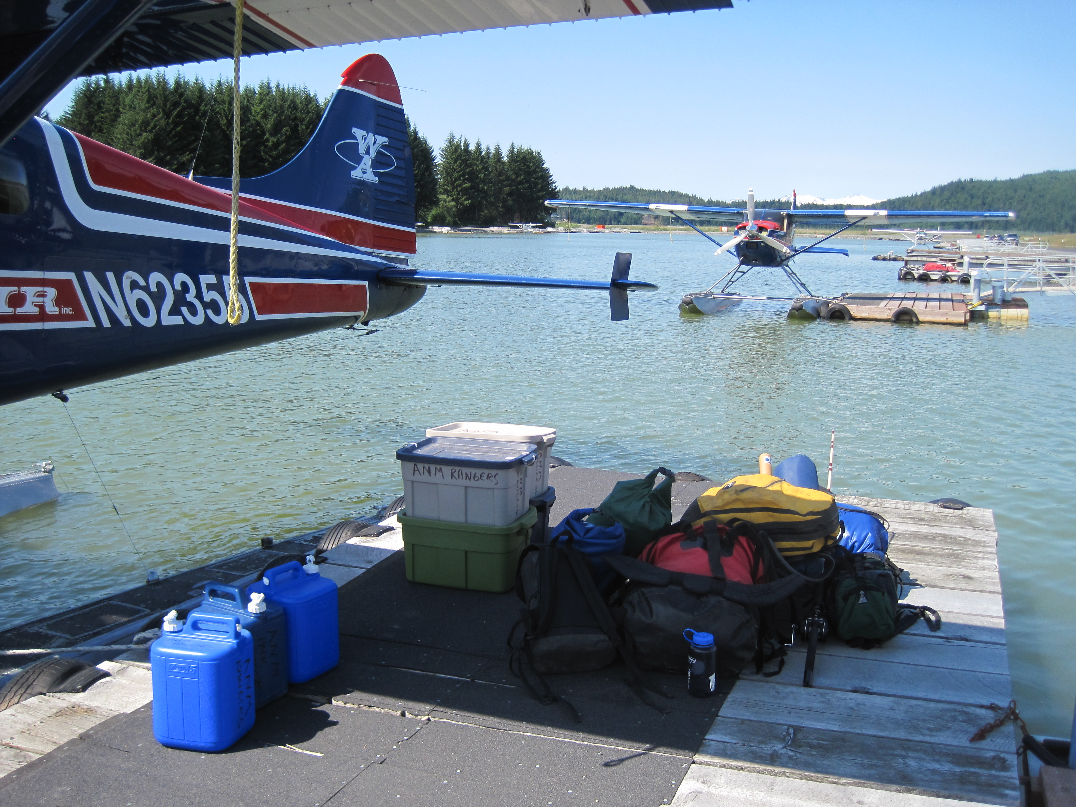
Landed Liberia airport, 2 other JNU couples on plane, Christine and Aaron headed to LA Fortuna, Jane and Pete headed to Tamaringo. Jane and Pete rented from same car company so we had a lot of time with them waiting for car. They only had one rep working desk and there were 4 couples there for cars.
We ran into town and got sim cards with Kolbi for each of us ($24 for a month)
Stopped at Walmart and headed out.
Visited Catarata Llanos de Cortes waterfall on the way. ($15pp) Easy hike down to it and a handful of folks there. For sure safe. Talked to some expats and they warned us of lots of driving tips.
Stopped at Lake Arenal Brewery, split a sandwich and H enjoyed a beer. They have a pet pig running around… so cute.
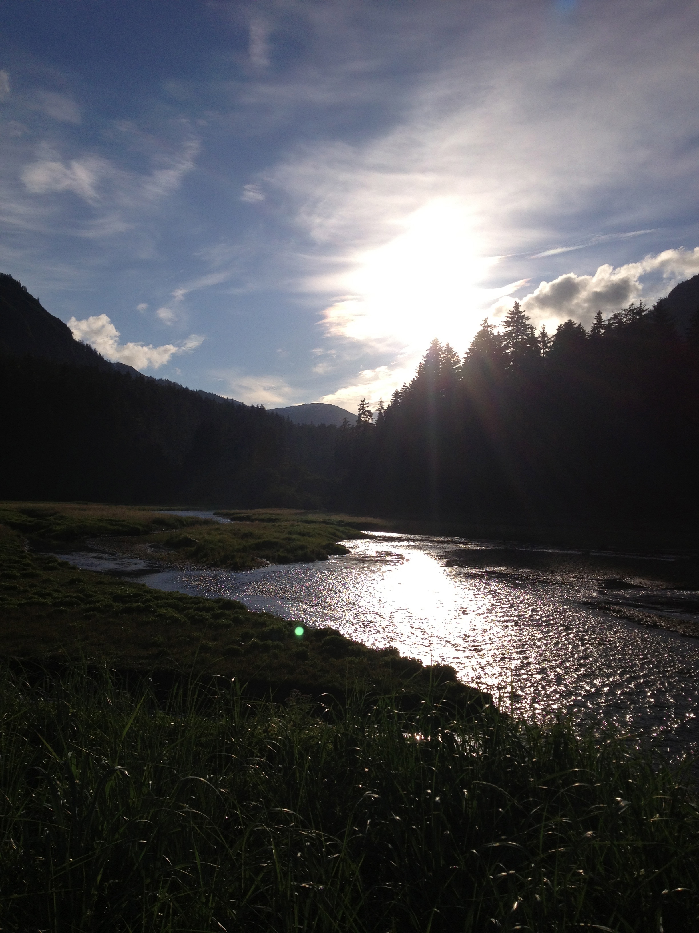
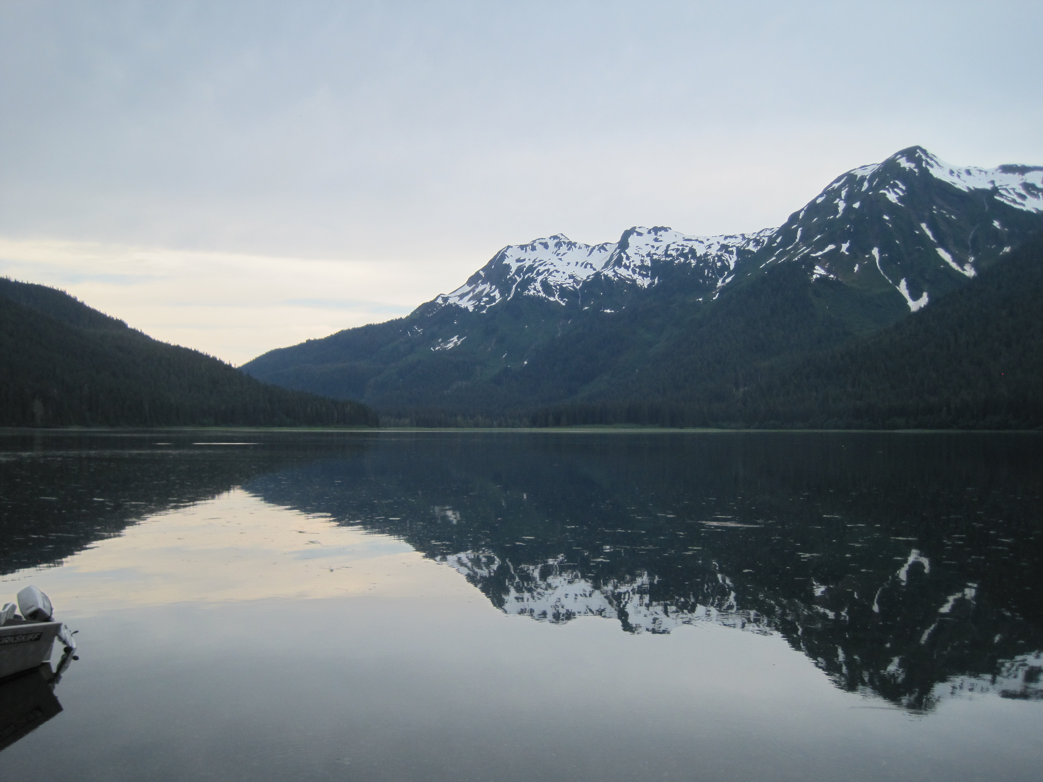
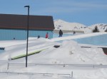
LA Fortuna: Tuesday, Jan. 7.
Stayed at Hotel Secreto; perfect location, tucked in quiet neighborhood, private safe parking and we got a newly opened room which was perfect. View of volcano when on deck, (though it was socked in first 3 days). Breakfast included each morning.
Upon check in realized I left CC at the car rental GGGGGRRRRR… but we called and they had it. Randal was locking it away (and he did).
Ate at Soda Viquez and it was so good, $8 dinner total with drinks $24.
Wed. Jan. 8
Quote from hotel staff “I have never seen 1 day here where we have had so much rain, it usually rains an hour or 2 but not every minute of the day” Our luck of course.
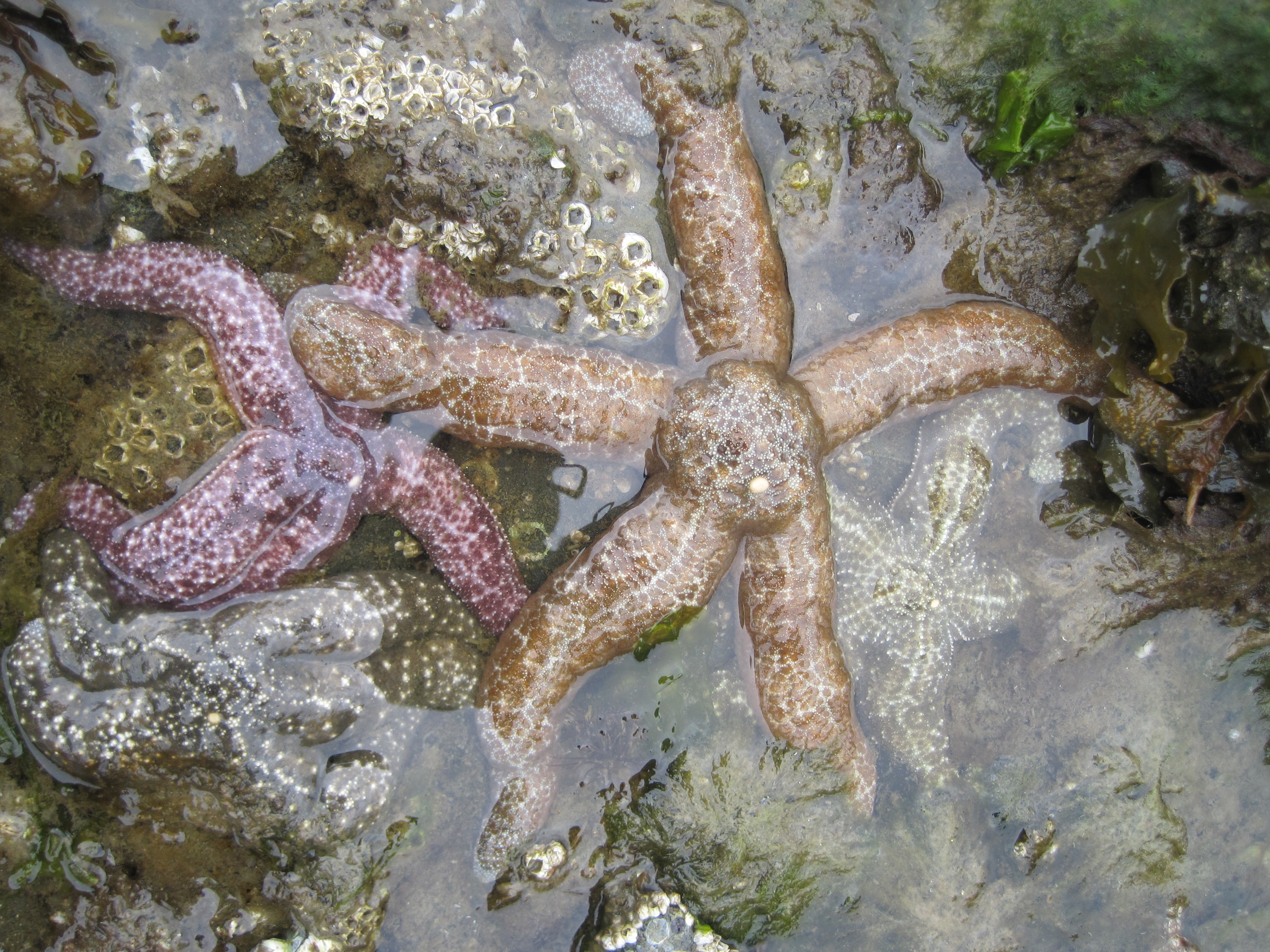
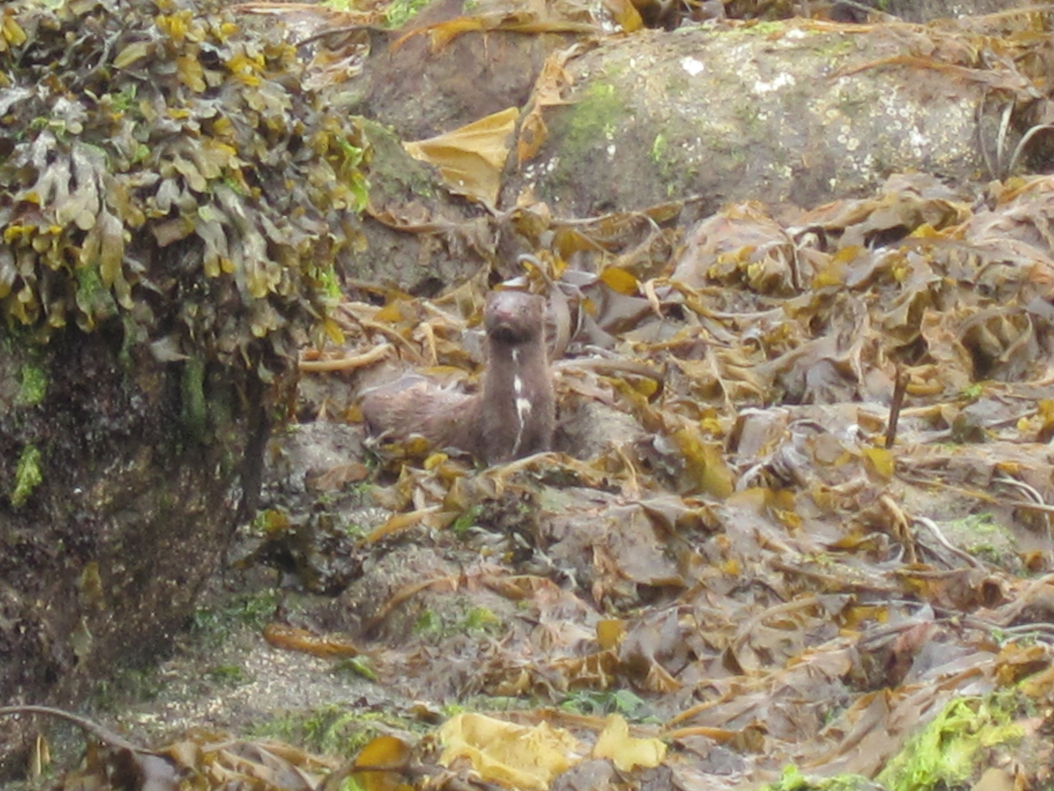
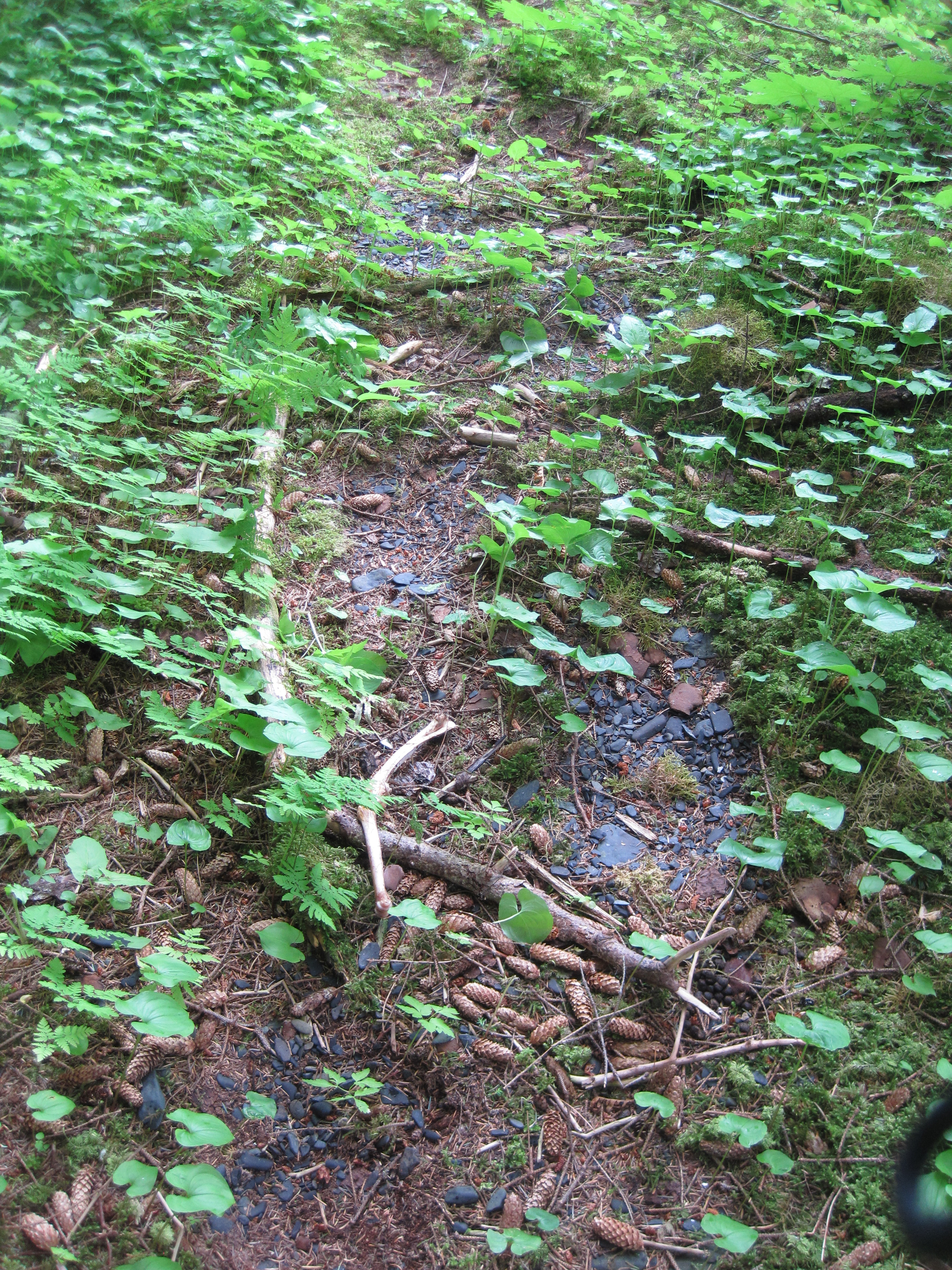
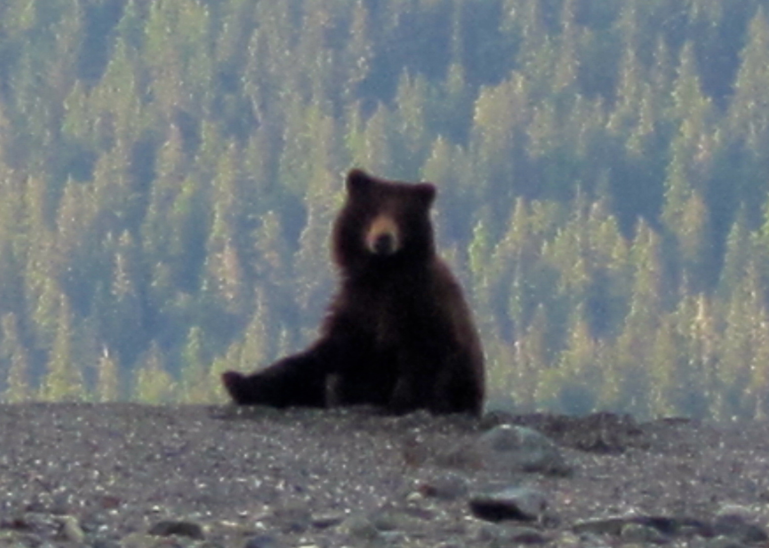
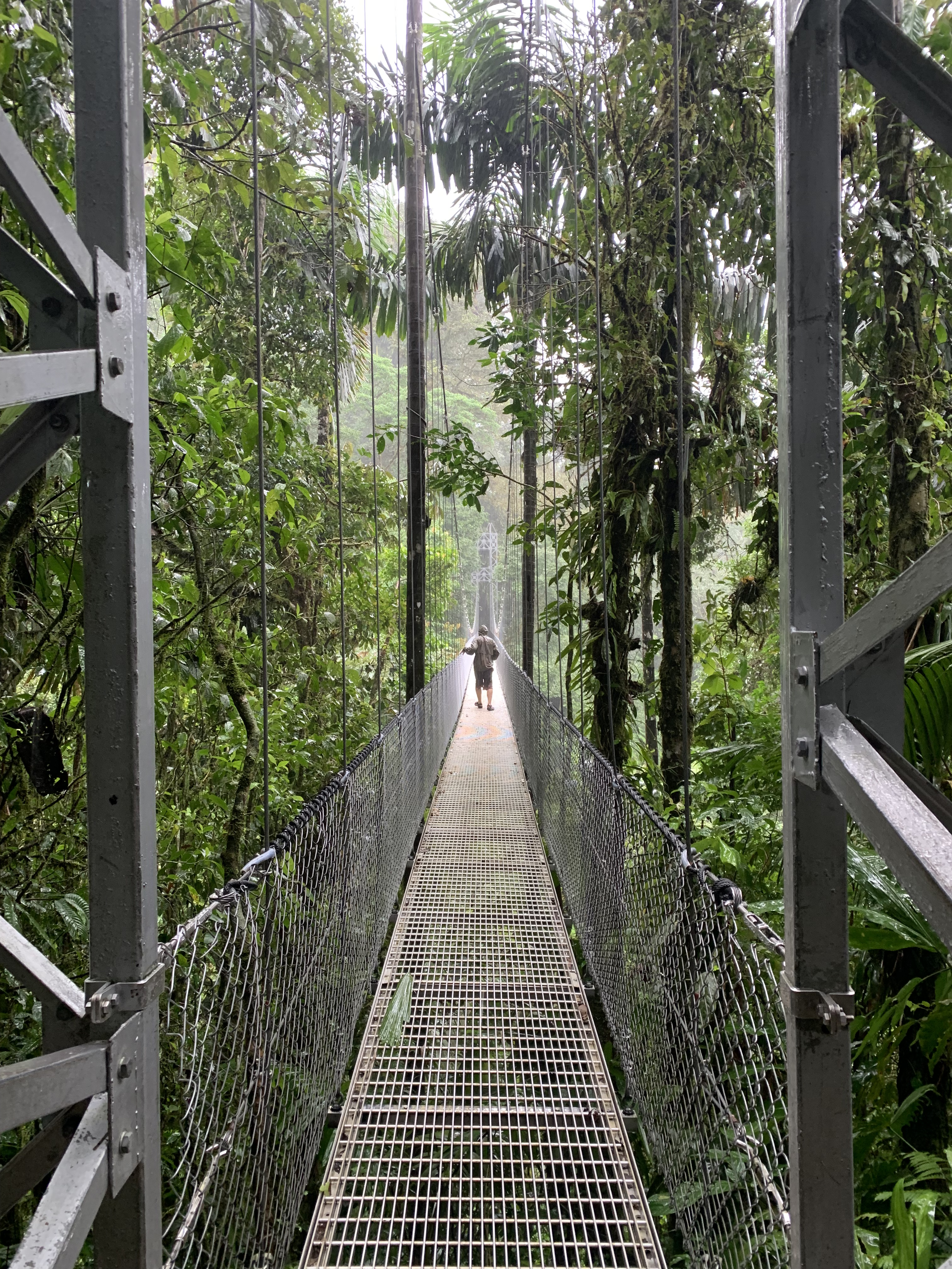
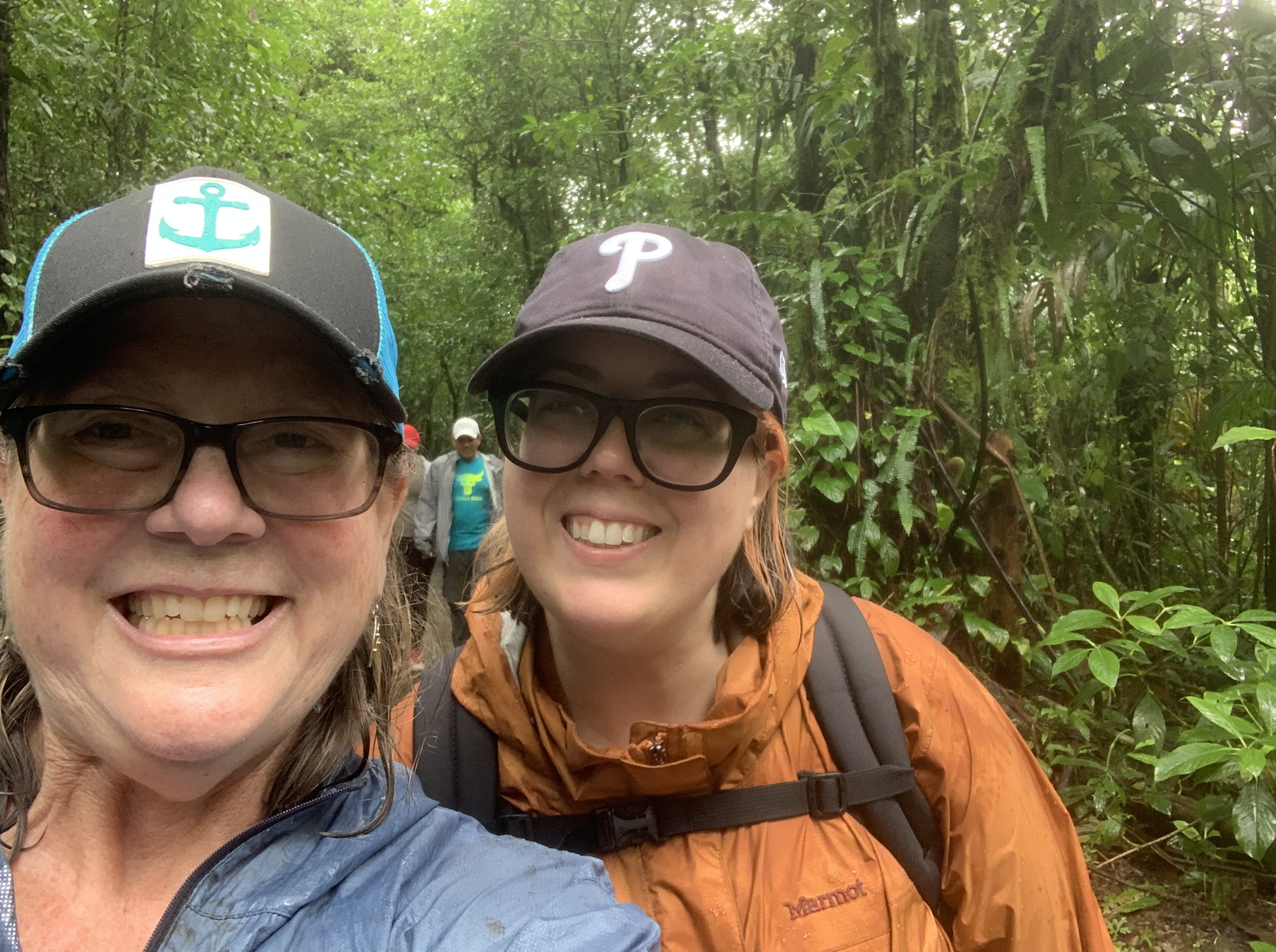
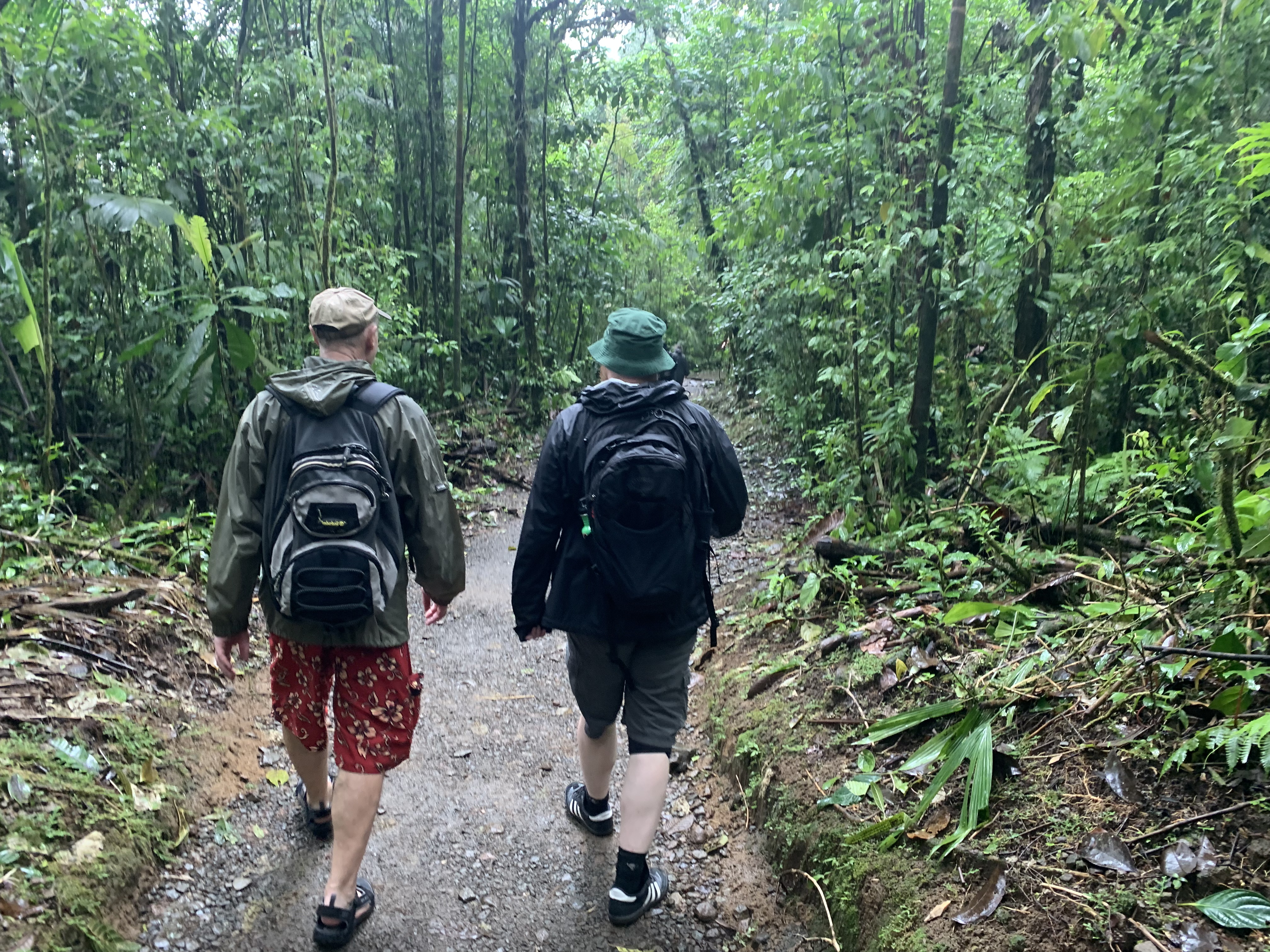
We didn’t let it stop us, walked to Arenal Rafting and signed up for rafting trip tomorrow. $85 pp with cash. Took out cash and headed up to the Místico Arenal Hanging Bridges. About a 20 minute drive. After noon prices dropped from $32 pp to $28 pp. They told us that 2 bridges were closed b/c of floods and NOT to go there. It was POURING rain the entire walk, not much wildlife to be seen. We headed their direction and did not go to the bridges they said were closed and continued to the ones we were told we could view the waterfall from. However, upon arrival to that bridge we were turned away as it was now closed. Unbeknownst to us, they opened the other one and closed this one.
Harry talked to them, they apologized saying 10 minutes after we bought ticket they made the change… he asked for a refund and they gave us payment of 1 back.

Once back in town met up with Christine and Aaron, had some snacks and drinks.
Never stopped pouring all day.
Went to Soda Mima for dinner, again was good $9 a plate. We also bought hangers for our room b/c there were none and stuff was WET.
Thurs. Jan. 9,
Awoke and headed to our rafting adventure. In a nutshell is was fantastic. It was about 1 hour to drive there an en route we sat with and met Bethany, a recent graduate from nursing school on her last free time trip before she starts her official job in Feb.
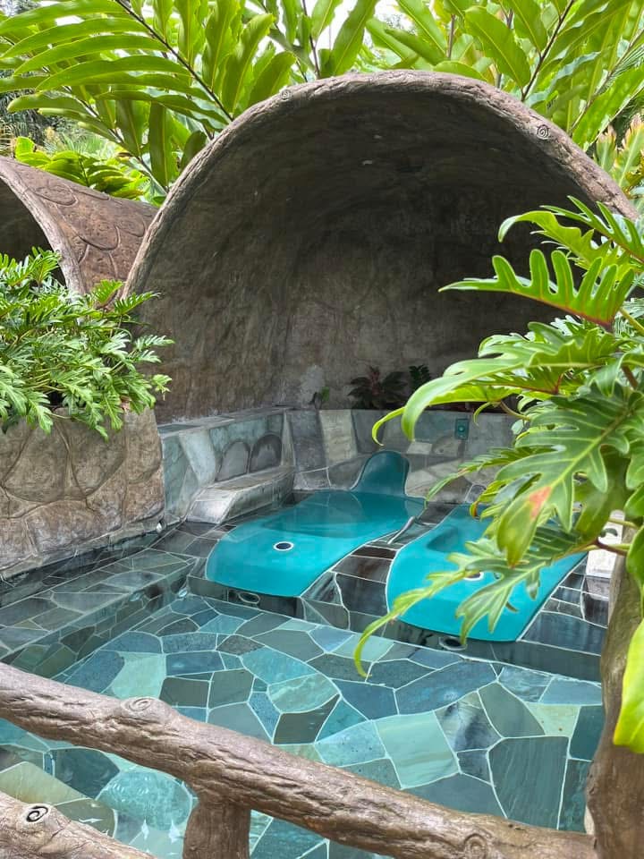
We LOVED the rafting trip. It was higher waters because of all the recent rains. No one fell out of our boat, but one fell out of the boat behind us. Great guide, great fun. Lunch, traditional CR meal, was good and then we rode back to LA Fortuna. Because it was still pouring rain we decided to spend the afternoon at one of the natural hot springs.
We picked Los Lagos and it was a great choice, on the lower end of costs, $30 pp, we had access to 8 pools, the hottest at the top of course and cooler as you went down the property. At the bottom as a slide and it was exhilarating to say the least.
Ate again at Soda Viquez with Bethany after which we dropped her back at the Hostel.
Friday Jan. 10. 2025
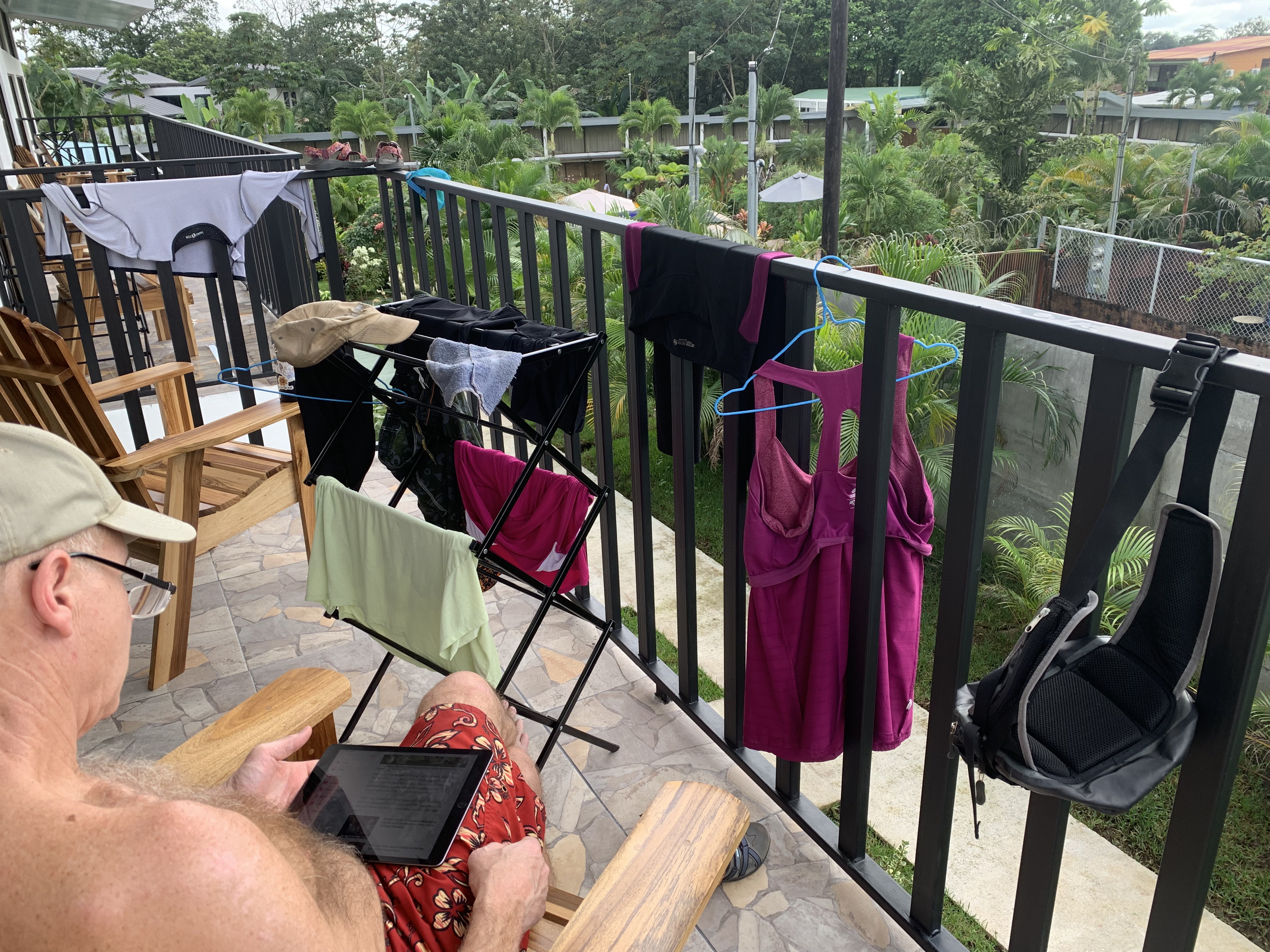
First day with NO rain! Got all the clothes out on the deck and dried out everything! In the afternoon we walked into town and met Aaron and Christine, we sat at a bar and played cards for a few hours. Bought a pair of earrings from street vendor and we went out to a steak dinner, mine was very good.
Saturday Jan. 11, 2025
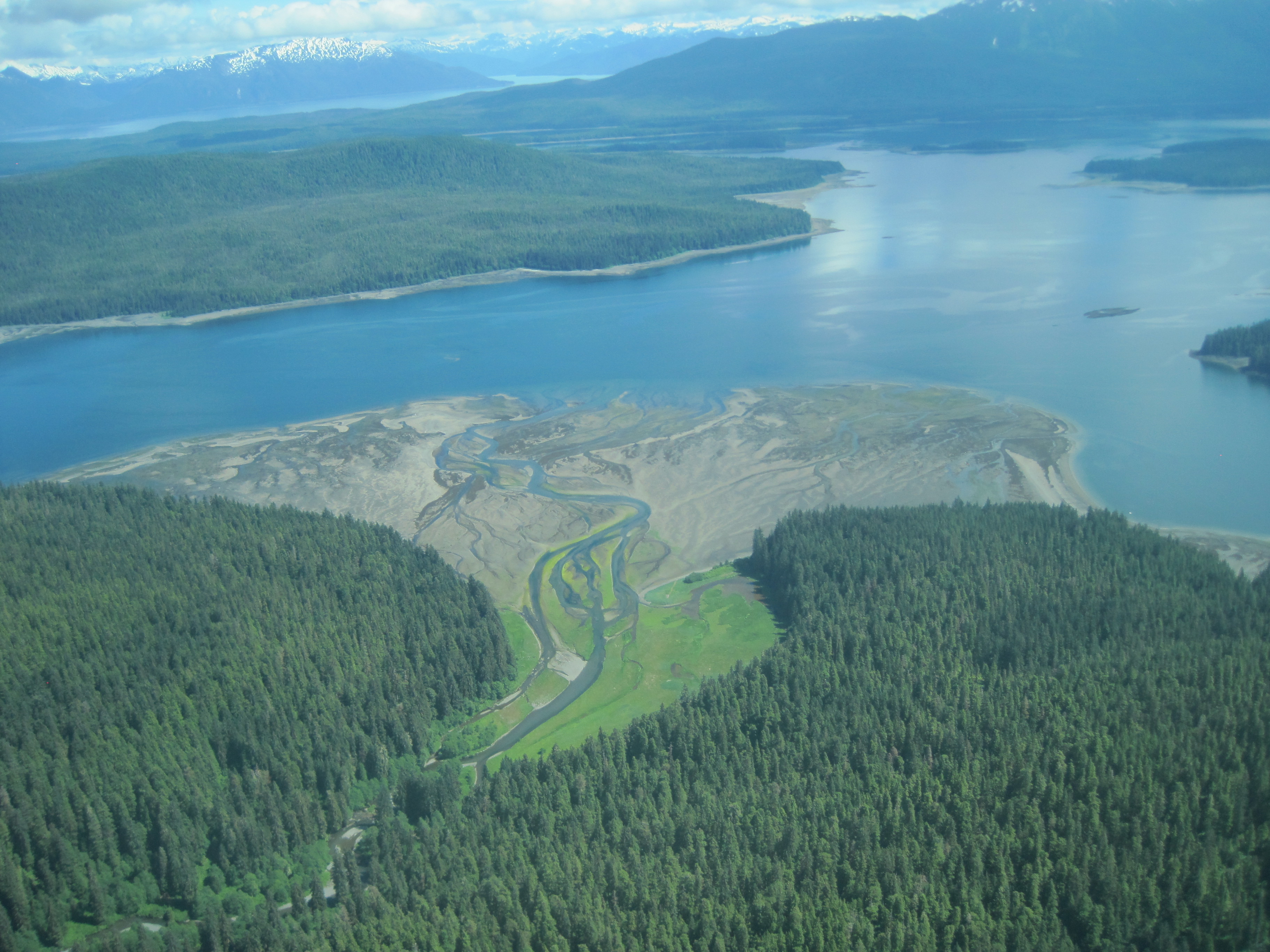
Aaron and Christine came over and we hopped in our car to drive up to Arenal NP to hike Rio Celeste. I had not felt well, upset tummy, and the diesel cars / trucks and curvy roads did not help at all. Rained as we got out of the car. Paid $ to park and then we almost got scammed. We did not know you had to buy entry tickets before arriving, so the parking guy was eager to help. However he lied at how much $ the cost. Christine caught it and he humbling gave us some $ back. It is $12/pp and He tried to charge us $20.
The hike in is about 1 mile and then the steps….only 175 down and then back up. The rain had worn off but the typical turquoise water was more mucky than usual. It was still pretty. The rain wore off for the day, but it started to get hot…and that did not help my tummy.

We had brought snacks so others ate some munchies, I passed (thankfully) as ½ way down the mountain, I got so sick I threw up. Immediately felt better.
Once back in town, I spent time in the pool then Harry ate some pizza, I drank some ginger ale!
Sunday, Jan. 12, 2025
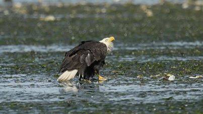
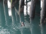
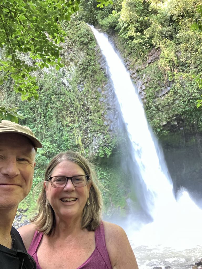
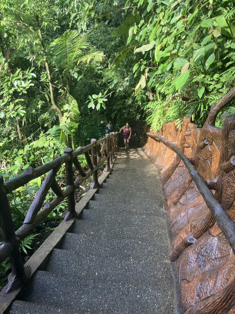
Started morning hiking the LA Fortuna Waterfall, 500 steps down! ($20pp) Usually you can swim at the base, but again, because of all the rain they were not allowing people to get in the water. After hike we packed up and headed to Grecia. We considered Blue Waterfall, but in the end decided it wasn’t worth another $20 pp.
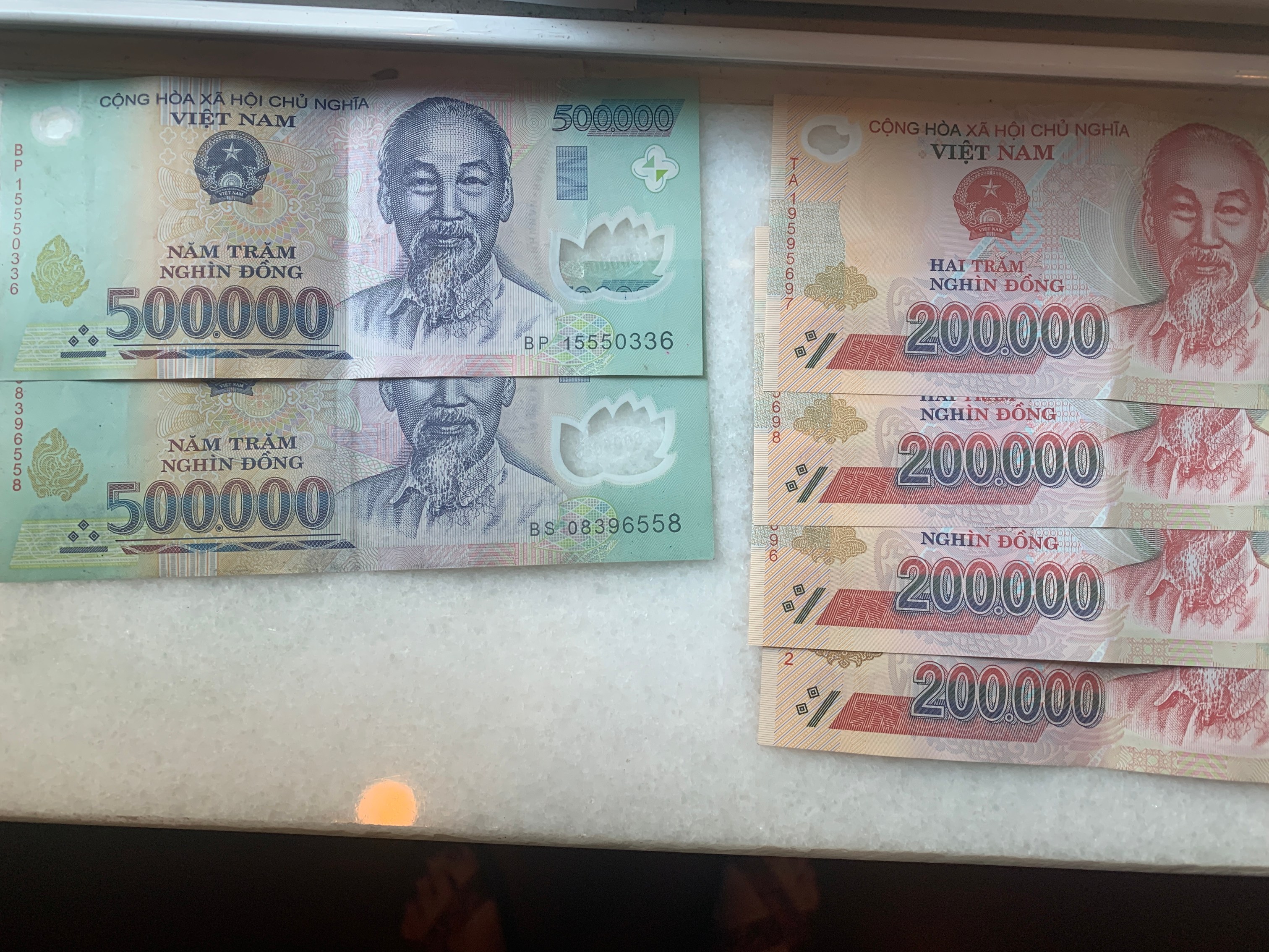

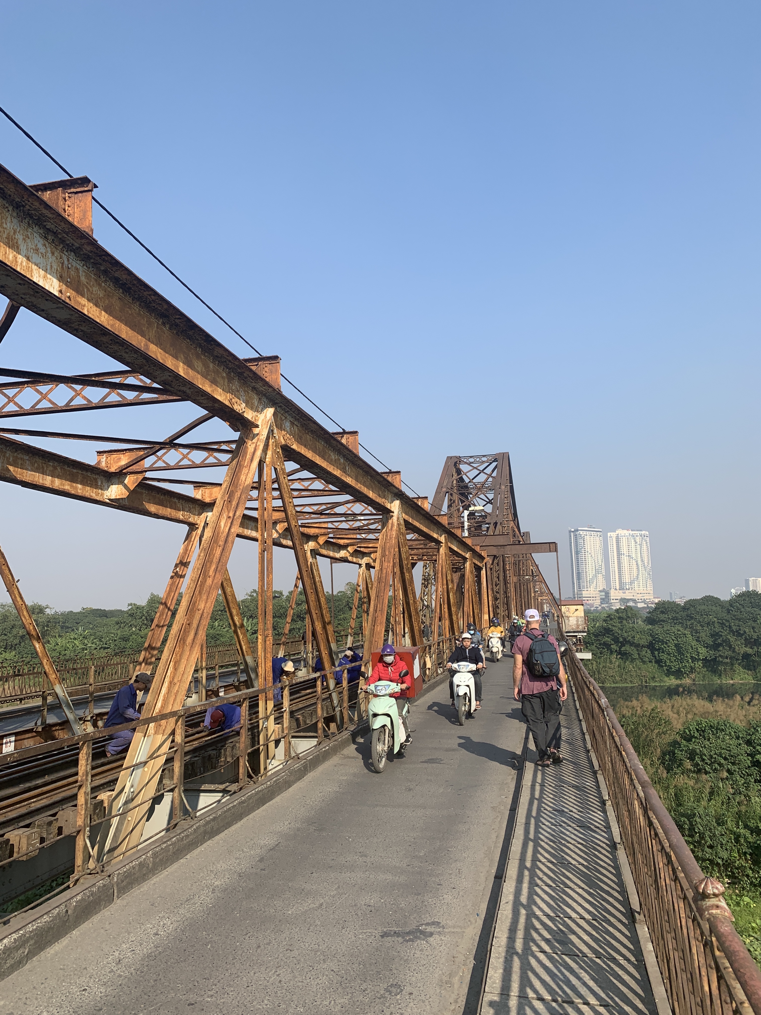

 We did bring a cab back over the bridge for < $1. Everything is so reasonable.