timistravels

My job allows me to visit a lot of Alaska on a yearly basis. I wanted to capture the trips in one location!

Unalakleet, Alaska~ Jan. 15-16, 2015 and NO SNOW!

Jan. 15/16

Last year I was unable to fly into Unalakleet because they had so much snow, this year, NONE.  Unalakleet is on the NW coast of the Bering Sea, just under the community of Nome.  It was a beautiful day as I flew in and the sun was setting over the community.  It was in the high 20’s low 30’s while I was there and I enjoyed a quick walk to the beach and the ability to beach comb a bit!    The Elders are worried about the continued warming of the region.  There were locals that had just gone out on a seal hunt, not normal for this time of year.

If you want to know more about Unalakleet, check out my blogs from Jan. 2012 and 2013!  Here are some pics!  The photo of me is with Donald Masters, Donald originally from Unalakleet is a former student of mine (at UAS).  He’d gone south for college but has moved back home~ and I got to see him, what a treat!

IMG_3551

landing in Unalakleet! Sun starting to set about 4:30!

IMG_3558

swinging around to the airport

IMG_4439

Sunset on the day I left, this is a beautiful community.

IMG_4441

drift wood on the beach, locals use it for fire wood

IMG_4442

another view looking down the beach

IMG_3561

long lost friends… last saw each other over 15 years ago! JOY

1 Comment »

Little Diomede, you CAN see Russia from this Alaska town!

Jan. 15-16, 2015

opik crabbing_10201918398510867_6874398955344371888_n Opik and her scoop to help grab the crabs with! (photo courtsey of Opik Ahkinga)
little with big distance224_10202162234806622_8244573605986660090_n this photo was taken on Little Diomede but you can see how close Big Diomede is. Big is part of Russia! (photo courtesy of Opik Ahkinga)
little-diomede Little Diomede sits in the Bering Sea just off the coast of AK near Nome.
the town201832445082085_6403267181590825491_n This is Little Diomede (photo by Opik Ahkinga)
helicopter land big background201063887468625_996764091_n There is one helicopter flight in/out of Little Diomede each week, there are no planes as there is no place for a runway. This is a remote community.(photo by Opik Ahkinga)

Okay, NO I did not get to go to Little Diomede, but there was a woman at my training ( which was held at the regional office in Unalakleet https://timistravels.wordpress.com/2012/01/24/flying-wild-alaska-unalakleet-adventure-jan-16-18-2012/?preview=true&preview_id=34&preview_nonce=6a772c9321 ) that grew up there.  I felt like a reporter asking her questions about her home town!  Her name is Opik Ahkinga, Opik is her Eskimo name and the name she has always gone by.  Opik translates to “snow owl”!

opik and crab0179335674_269752413_n Happy Crabber Opik Ahkinga! So blessed to meet this woman! (photo courtesy of Opik Ahkinga)
hole1918323989004_4710106530687486734_n the hole made in the ice to get crab! (photo by Opik Ahkinga)

Opik spends much of her time helping her village become aware of humans environmental impact.  She shared many stories of growing up there and how for years there were ‘disposable’ items such as water bottles.  They had never seen such a thing, but once ‘western ways’ moved to Little Diomede there was a need to educate on how to remove unwanted material.

pile oh crab4702046678404_1030976808_n a days catch! (photo by Opik Ahkinga)
crab hole253503_413916261_n one by one! (photo by Opik Ahkinga)

Another interesting discussion I had with Opik was her talking about subsistence living.   She is a crabber.  She crabs by digging a hole through the ice of the Bering Sea and dropping a line with bait.  She prefers smelt, but any fish is acceptable.  She drops down about 60-80 feet but can go down as deep as 100 feet.  Opik talked about 2 main kinds of crab that she gets; Blue King which is very tasty, Blue King is fished where there is a rocky bottom.  The other is Red King, not as good as good as Blue but still yummy.  Red King is caught in more mucky bottom areas.  In the winter these crab come ‘in’ to spawn where in the fall and summer they are further off shore.

And though Blue King is so sweet and tasty, the Spiny King is the best!  Historically  these Spiny Kings were found Japan and eastern Russia.  The first time they were found in AK were off of Little Diomede in 2003.  However, by 2010 they were really showing up in the waters around St. Lawrence Island and other communities in the Bering Sea.

Opik shared other interesting stories with me including the fact that she remembers going with her Grandpa to the international date line to trade with the Russians. Big Diomede is part of Russia, though it is just miles from Little Diomede and can been seen across the Bering Sea.  The international date line separated them and they are less than 2 miles apart.  Big Diomede is actually only a Russian military base.  Both Big and Little Diomded ‘communities’ are on the west side of the islands.  She shared that her father used to go to school on Big Diomede.  Another story was that  in 1952 her uncle (mom’s brother) went out to hunt and  was found and taken by the Russians.  He was kept captive for 50 days before he was released and sent home.

There is so much history in this part of our great state and so few know anything about it.  I feel blessed to have met Opik and look forward to more conversations in the years ahead.

side note that made me smile; the mascot for Little Diomede; the “dateliners”  isn’t that cute?

Leave a comment »

Volunteering for a week in Seymour Canal~ Near Juneau, Alaska

June 24-29, 2013 When my husband asked me if I would be
willing to come and volunteer with him for a week out in the field
I was thrilled to take the offer. I actually met him 18 years
earlier as I was on a volunteer trip in the same area. This time we
would be boating around the area and checking in on remote cabins.
It was an great week that even rain could not ruin!

IMG_10215fly slide

Slide Lake


IMG_10210fly pC:windfall

Pack Creek is the creek
flowing out the mud flats in the photo and we stayed on Windfall
Island where we stay.

On the day we landed it was
80+degrees outside… In Alaska 80 feels like 100 anyplace else, it
was hot and the horse flies were terrible. But we loaded the float
plane and took off for a 30 minute flight.

We unloaded
and got ourselves set up at camp
https://timistravels.wordpress.com/2013/07/03/camp-life-windfall-island/
then we got in the skiff and visited Windfall Harbor, what a
beautiful area.

IMG_9823crabbers

you can see all the crab
pots here.

The only sad part were the areas that were
damaged or trashed by the crabbers (professional fisherman that
collect/sell crabs). They toss their extra crab pots in the woods
along with other junk and just leave it. They often trash the
campsite with their garbage and don’t clean up after themselves. It
is just a bit sad.
IMG_9921

sun setting on
Windfall

IMG_9948

sea anemone in the
water

IMG_9966SA

sea anemone in the
water

IMG_9969sa

sea anemone out of water
on high tide

IMG_10062*

star fish

On the
next day we set out to do the work that Harry needed to complete.
But before we did we stopped to take advantage of the low tide and
view the sea anemone’s at low tide, such interesting looking
creatures. We also got a good view of many, many, many starfish.
IMG_10063* IMG_10065* IMG_10064* IMG_10066*
IMG_9965mink

do you see the
mink?

IMG_10031loon

wish you could hear the
loon

We then went
exploring around the area, up and down Seymour Canal. We started up
in Pleasant Bay, then past the Bug Islands, into Fools Inlet and up
to Olivers Inlet. Along the way I saw a mom deer nursing her fawn,
found gumboots both eaten and uneaten at low tide, we saw and heard
loons and 100’s of bald eagles. I learned that Seymour Canal has
more bald eagles per square mile than anyplace else in the world
(according to Fish and Wildlife). We saw wildflowers, beaver
activity and even a skeleton of a deer that had not made it through
winter. We came across beautiful meadows and a salt chuck that was
amazing. Each time you turned a corner there was a breathtaking
view.We heard and saw loons throughout the trip, as well as a mink
or two on shore occasionally. The trip was just full of
nature.

IMG_9993momfawnnursing

mama deer nursing her
fawn

IMG_9970gumboot eaten

gumboot

IMG_9954us saltchuck

the salt chuck behind
us

IMG_9952beaver work

busy beavers


IMG_9956deer carcuss

deer skeleton


IMG_9916blue ger

wild blue
geranium

IMG_9859deer tracks

deer tracks on many of the
beaches

safe_image.php

eagles were everywhere in
the area.

IMG_9865hotspots

brown bear follow the same
path over and over and over and over again, and you begin to see
these pad marks in the ground.

Last but not least were the brown
bears. We saw many of them on this adventure, but you will have to
visit this blog to read more about them:
https://timistravels.wordpress.com/wp-admin/post.php?post=2536&action=edit&message=6&postpost=v2

1 Comment »

Pack Creek Brown Bear Viewing Area

After meeting my husband I have become more and more interested in brown bears and less and less frightened of them.  Pack Creek is on Admiralty Island about 30 miles south of Juneau.   Also called “Kootznoowoo,” (hence our chocolate lab was named Kootz) or “Fortress of the Bears,” by the native Tlingit people, Admiralty has more brown bears per square mile than any where else in the world, about 1,500 in total, more than all the lower 48 states combined. IMG_10081bear clam look

This area was first homesteaded by Stan Price and because of his interaction with the brown bear the bear are much more habituated to humans  and the area provides a protected space for the brown bears. IMG_10059homestead

Both the US Forest Service and Alaska Department of Fish & Game work to insure that visitors can come to the area and yet have  minimal impact to brown bears.

IMG_0895 IMG_0888 IMG_10179cubs

IMG_9779fly us

our flight out, note the ear plugs, a must on small planes

IMG_9775fly

essential items flying with us to camp, including all our food and some fresh water.

IMG_9770fly

our plane at the float pond in Juneau

IMG_9768fly

loading the plane

IMG_0947

off we go

You must have a permit to visit Pack Creek between June 1 and Sept. 10 and you can get them by visiting Recreation.gov or calling their toll free number 1-877-444-6777.   People can also sign up with a tour guide in Juneau.  Individual then must figure out how they will get to Pack Creek, most come by plane but many also arrive via boats of some kind.

IMG_10208fly packcreek

a view of Pack Creek and mud flats from the air

Pack Creek is formed from the snow that starts about 4000 feet above and descends into Seymour Canal. At the base is about a 400-acre mud flat that is especially visible at low tide.  The bear spend a lot of time in flats clamming and looking for other food sources UNTIL the fish arrive.  Typically the BEST  bear viewing on Pack Creek is when the pink and chum salmon begin heading back up the river in early July.  My husband had seen a fish in the river as early as June 30, his colleague, June 28th but as the 3 of use were out at the viewing tower, we saw one on June 26th.  The summer of 2013 is off to a good start for the bears.

IMG_10055sign trailhead

the bears all but destroyed the sign placed here in the 90’s

IMG_10056sign 'pack'

what’s left of the Pack Creek Trail sign

IMG_10054bear scratch tree

signage of bear everywhere, this tree has bear claw marks in it

IMG_10043fresh poo

yep bears do poop in the woods and on the walking trail

IMG_0941

paw print in the sand

Upon arrival a staff member will meet you and make sure you are aware of all the rules that you must follow to visit this area.  No food can be on you, you are only allowed to walk in certain areas, etc.  The rangers fill you in on what has been recent activity and will lead you to the viewing spit, or direct you to the 1 mile trail to the viewing tower.  The trail to the tower is a MUST do regardless if you see bear or not, walking through the old growth rain forest is something pretty special. IMG_10008bear hair tree IMG_10007bear scratch tree IMG_9924Pcubs

IMG_10077bear clam

clamming!

We saw a lot of activity, including a bear clamming, 2 sub adults playing with each other, and a mom and her 2 cubs.  The 2 sub adults have been friends since they were with their moms.  It is really unusual that the mom allowed their cubs to play together, but they did and after the moms ‘kicked the out’ these two have remained friends.  The mom with her 2 female cubs was the most visible.  She seems to feel quite safe at the south spit and spends a lot of time there.  We saw the cubs playing with the out haul lines, rousting with each other and simply exploring.IMG_10173cub IMG_10167pokey cubs IMG_0969 IMG_10160popkey cubsIMG_10179cubs

We got quite close to the mom and her cubs as we were returning to our boat on the night of our visit.  They were not on the spit when we walked the trail, but they were upon our arrival back.  Mom checked us out quite a bit, but in the end they just laid down and we continued on our route.  We did NOT displace them or stress her out and she was not worried about us at all.

IMG_9816windfall

tip of windfall as we paddled back from our night at Pack Creek

IMG_10218fly bear alpine

as we flew home we saw 7 brownies in the alpine. In late June they follow the snow line up and eat along the way. Plus with the heat we were having that day (high 70”s) they were climbing to cool off as well as find food.

I hope you someday consider a visit to Pack Creek, it is a magical place. IMG_9797IMG_0939 IMG_0937 IMG_0936

1 Comment »

Camp Life; Windfall Island

IMG_4.0campfence

the solar powered fence

June 24-29, 2013

Living in a remote field camp for a week gave me a bit of an insight to what the staff that live there all summer experience daily. There are 3 tent platform structures. These are put up and taken down each year. The first one you see is the cook tent, it has a table, sink, stove/oven and many bear proof food boxes. There is a small propane heater here as well for those cold wet days of southeast AK. This structure is surrounded by a solar powered electric fence as even more assurance of bears not getting into the structure. IMG_1camp cooktent

The staff and volunteers stay in one of two tent platform structures. There is one for Fish and Game folks and one for Forest Service folks. There are cots inside and a heater just in case it gets a bit cool. We never had to use it, but I am sure it is nice for those wet cold SE, AK nights. Each night I laid in bed reading (with my head lamp) and enjoyed the quiet of living so remote. One of the nights it rained, because of the tarp over the tent is sounded as if it were POURING, but it really wasn’t… the rain was a great white noise for sleeping!

IMG_9damp home

IMG_8camp home

our tent from the outside

Using the ‘outhouse’ is certainly a part of life in the wilderness. The outhouse on Windfall is really just a tarp with a nice seat! The view is my favorite part of using the throne at camp! IMG_15camp outhouse view Before entering the toilet area you must first turn the sign around to indicate that it is occupied… when you leave you rotate it back to VACANT. IMG_6camp

Typically holes for outhouses need to be moved after a few years because they become too full or the smell too much to handle… however, this field crew has learned if you burn your TP after use and not put in the hole, it does not fill up so quickly AND the staff put a packet of RTB 740 into the hole… this speeds up the natural degradation process in the composting/outhouse toilet. Not only does it increase in digestion efficiency, odors are controlled by preventing their formation. Pit toilets will not have to be emptied or moved as often and composting toilets will function better with less chance of overload. It was amazingly nice for an outhouse.

IMG_11camp

the view as you approach the toilet!

IMG_12camp

the cans and torch to burn the paper in/with.

IMG_13camp

me taking care of my TP!

Lastly a few other shots of important parts of the field camp on Windfall Island!

IMG_2camp water source

collection of rain water

IMG_3camp solar

solar panel used to gather energy to charge items while at camp

IMG_17camp

the boat outhaul for the skiffs, kayaks or canoes!

3 Comments »

Taku Glacier; 2 trips in one week, so very different!

Thursday, Aug. 30, 2012

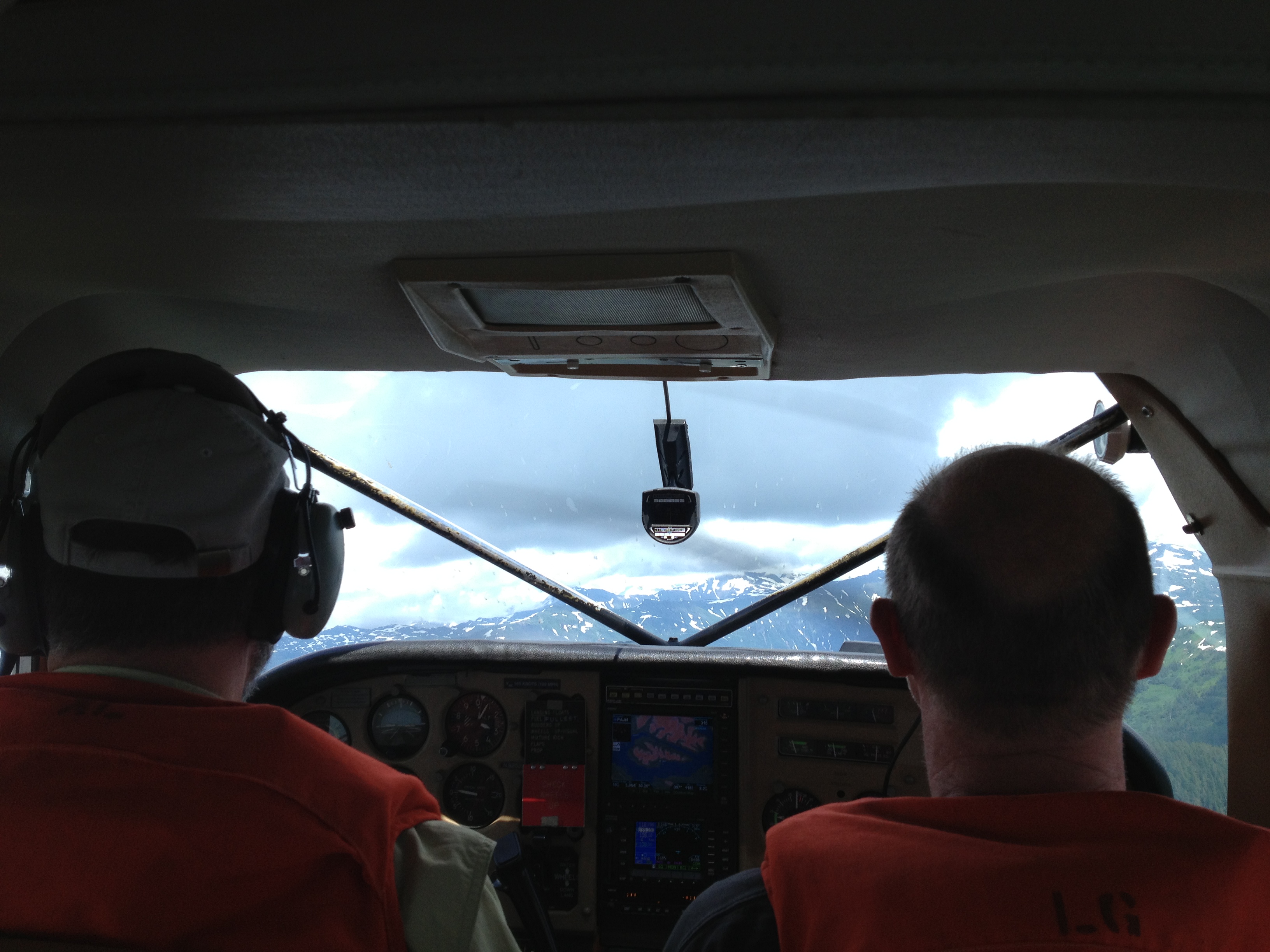
Harry and I had a certificate for a ‘glacier hike’ that we had won, but needed to use it by Sept. 1.  We had tried other days over the summer but had not had a lot of luck, BUT our luck changed on a PERFECT beautiful day in Juneau.  We arrived at North Star Treking and boarded the helicopter with 3 Canadian’s that were on a cruise ship.  We’d been told that b/c it was SO nice out we’d get to go on Taku Glacier vs on Mendenhall Glacier, Taku is only accessible on perfect days, where the Mendenhall is an option on cloudy socked in days.
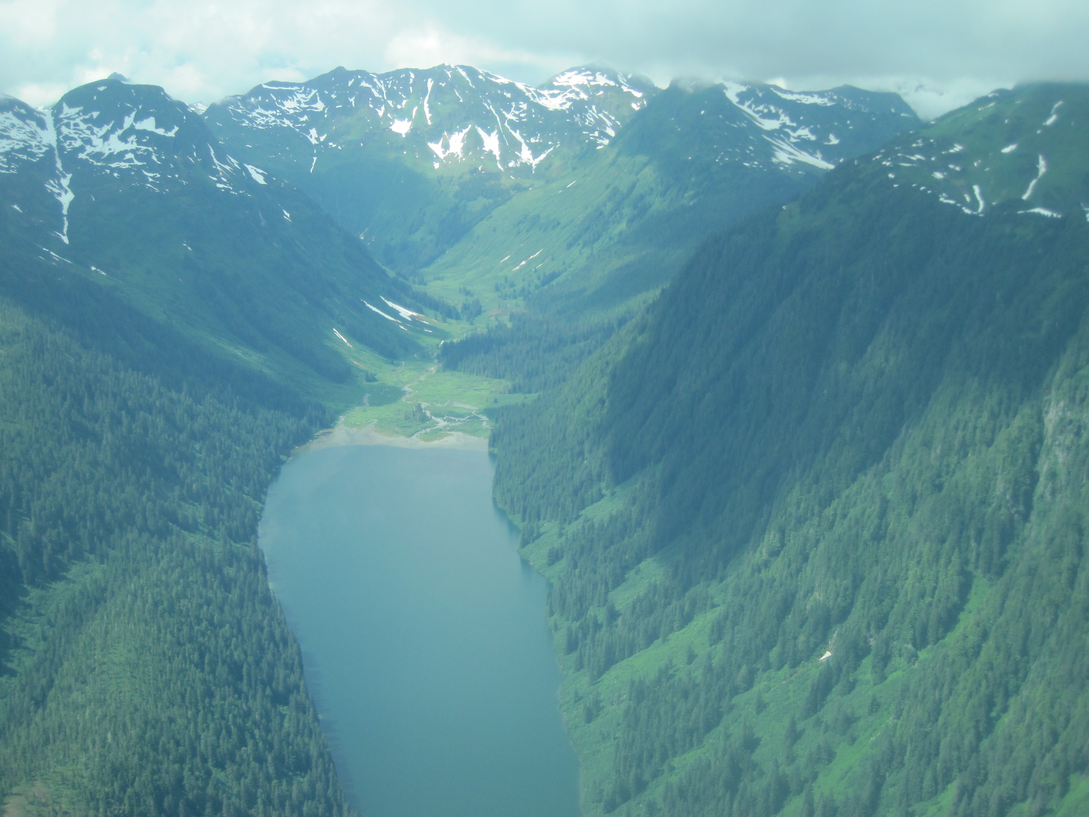
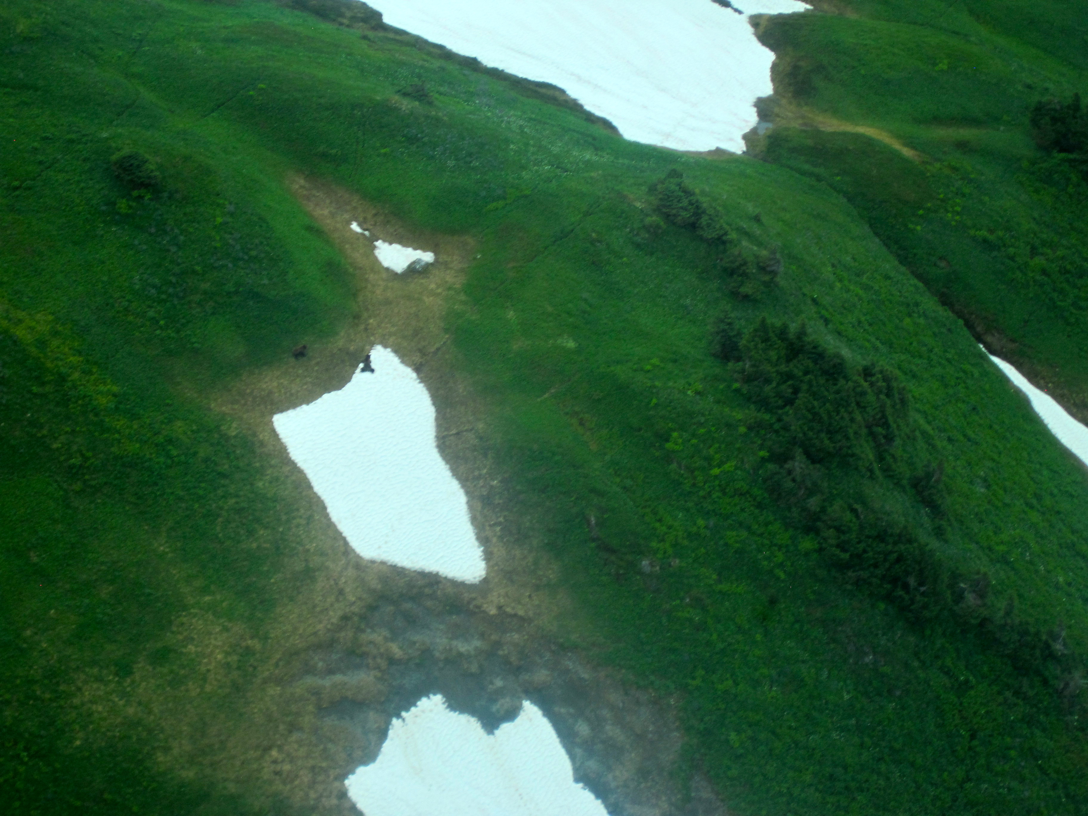
We flew over Split Thumb   and over some hanging glaciers, 

off in the distance we could see Canada and Devil’s Peak.

Both had new snow on the tops!!!  We continued over the icefield and up and over towards Hole in the Wall Glacier.  Taku Falls was right below us, a waterfall that falls 600 vertical feet feeding into the Taku River system! 

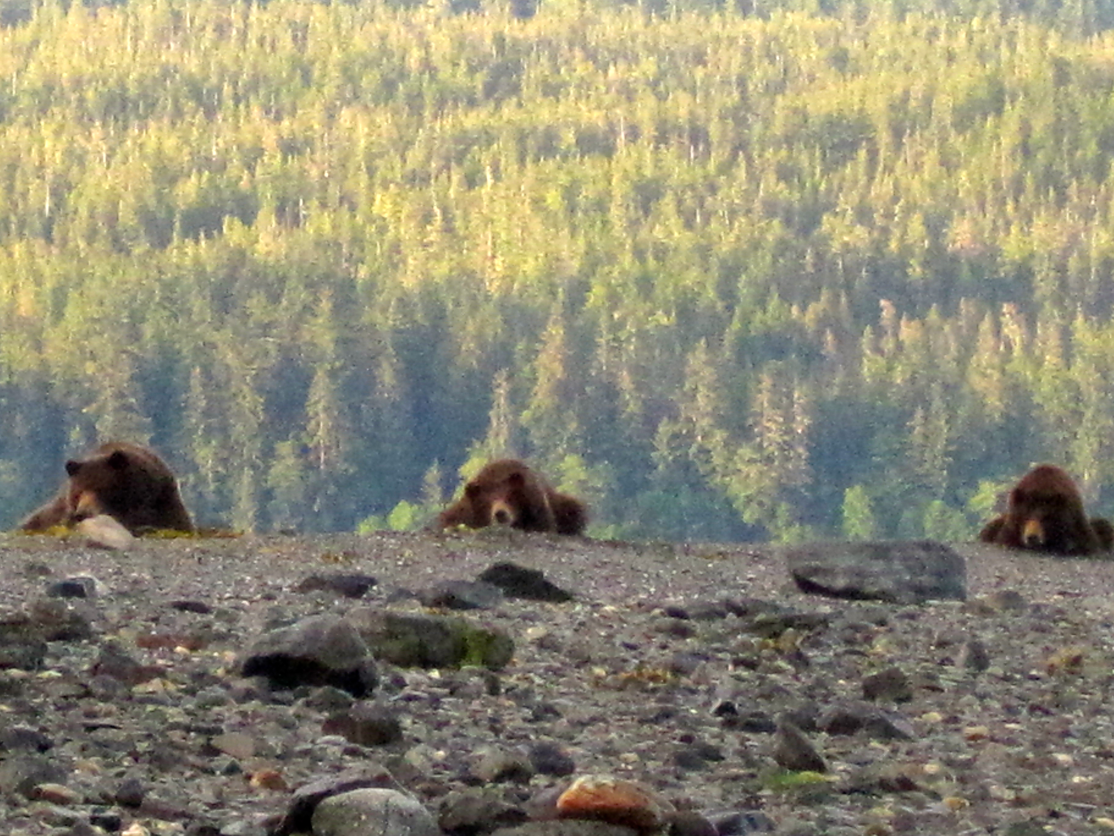
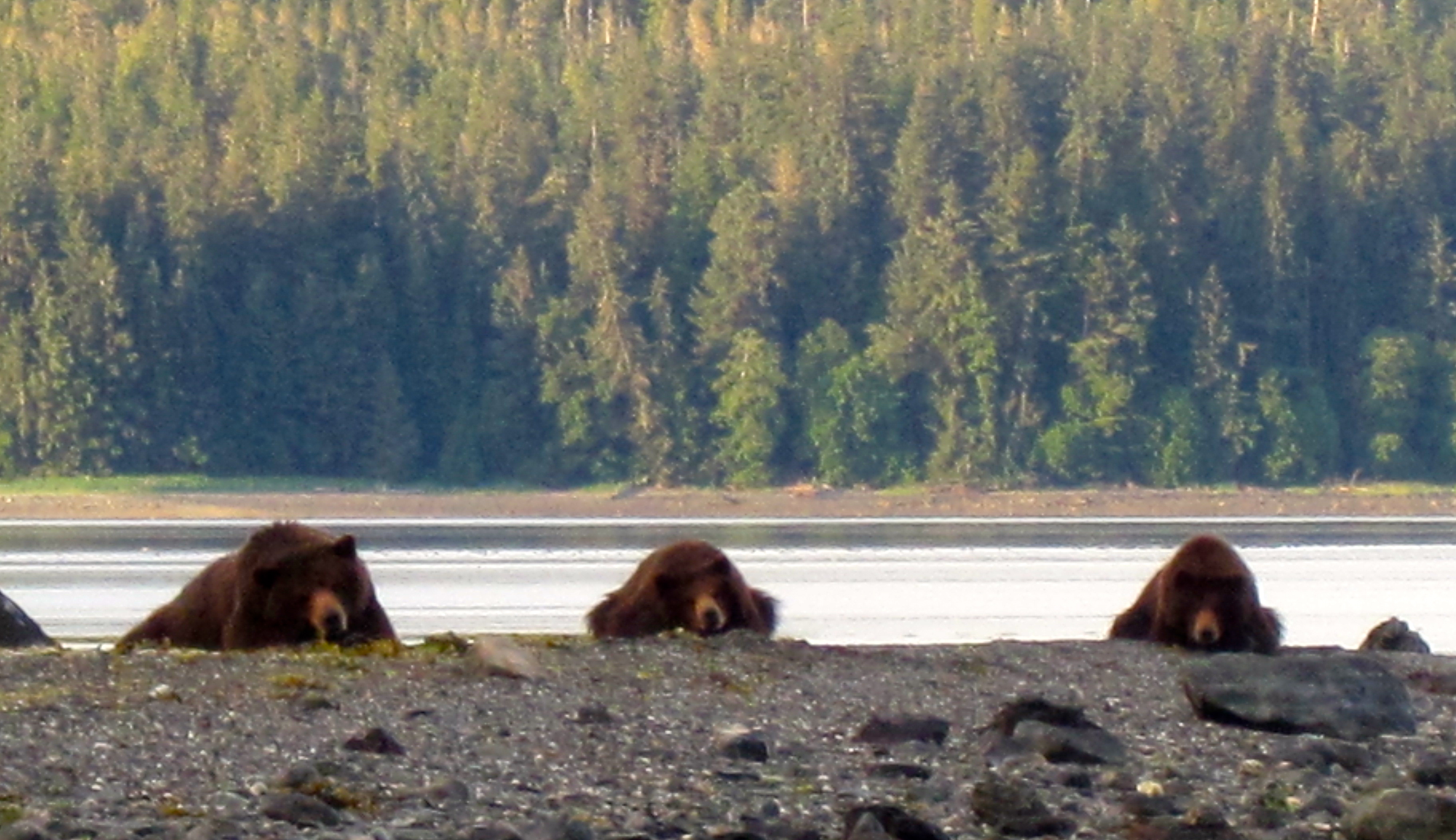
It was beautiful.  Coming around the corner and seeing Taku Glacier from the front was beautiful.  Taku Glacier is the only glacier on the Juneau Icefield that is advancing, so you can see trees, rocks and more that are being moved forward with the momentum of the glaciers movements. 

Once off the helicopter,

we got to walk around on Taku Glacier for about an hour. 

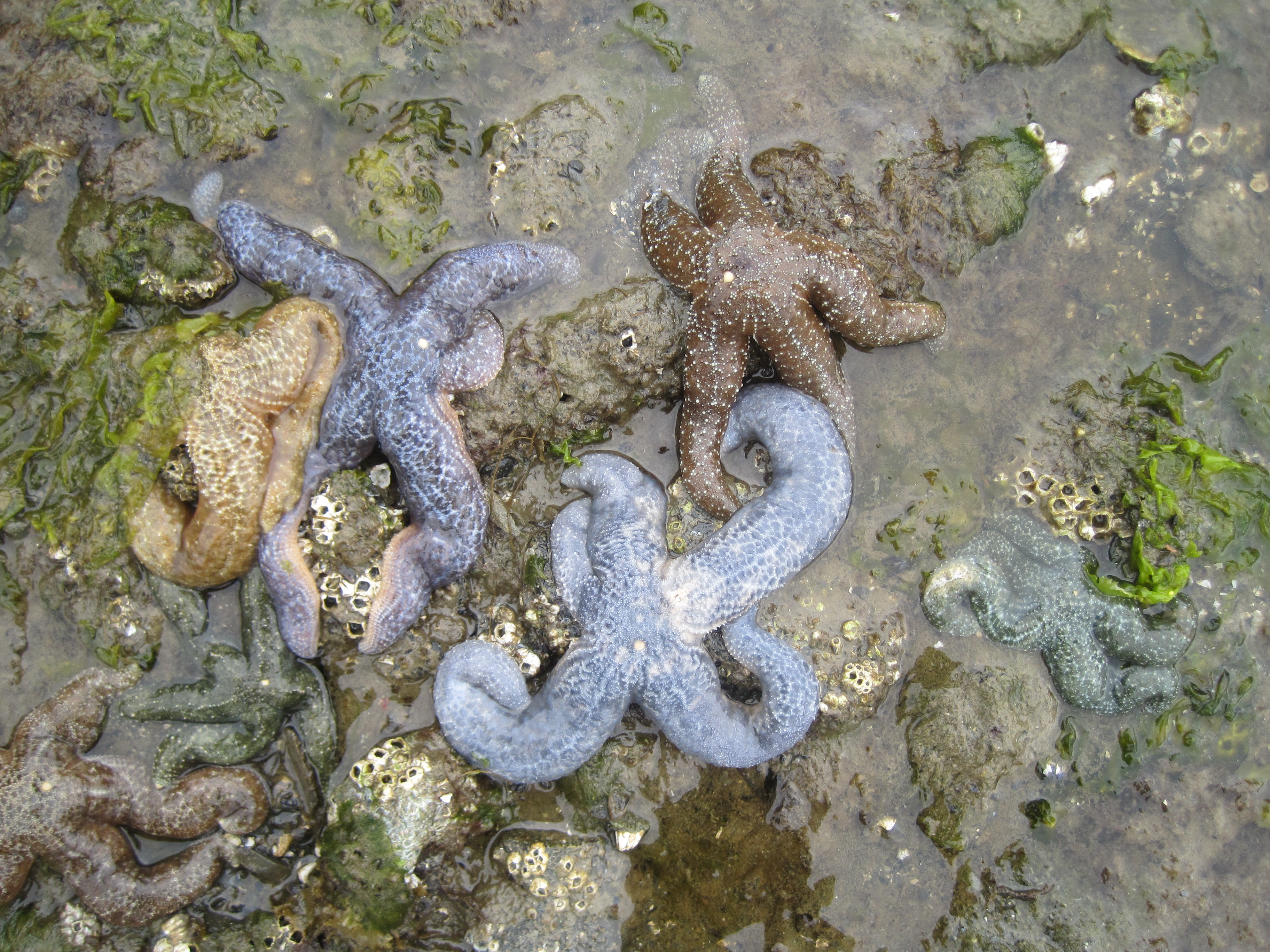
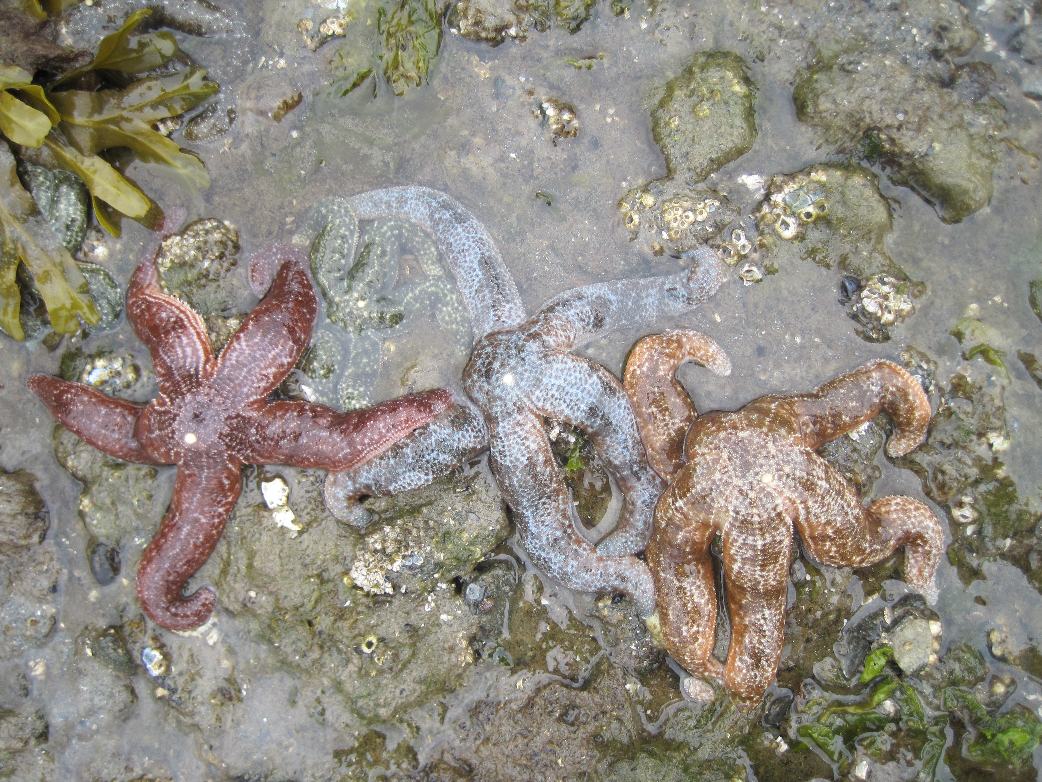
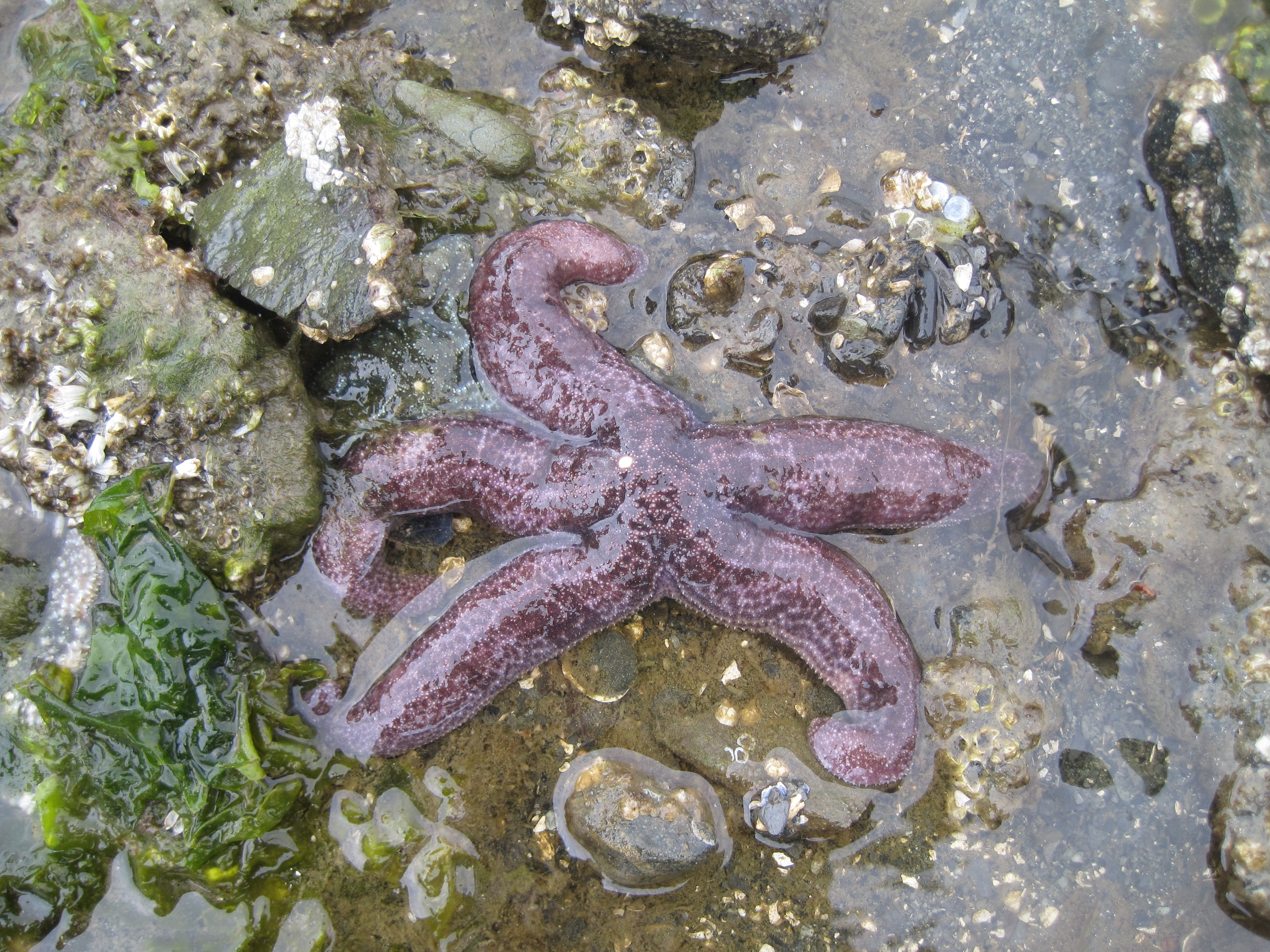
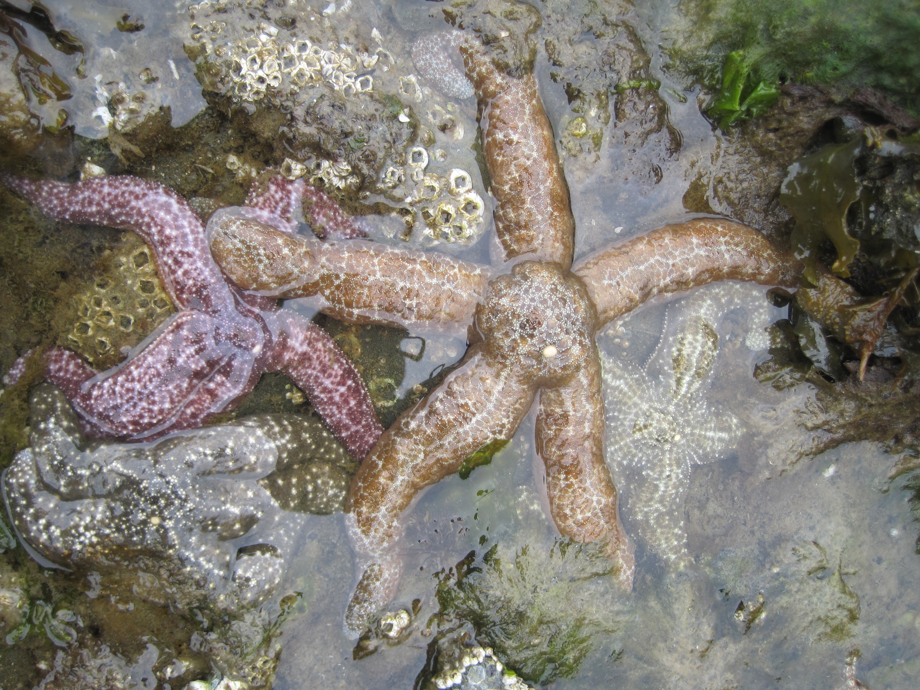
It was breathtaking to say the least… see all the pictures I have included.  On the flight home we flew over Norris Glacier, Norris Glacier

saw ice dams, and other amazing views,

until finally we were back to the airport in JNU, what a great day.

Sunday/Monday Sept. 2, 3, 2012

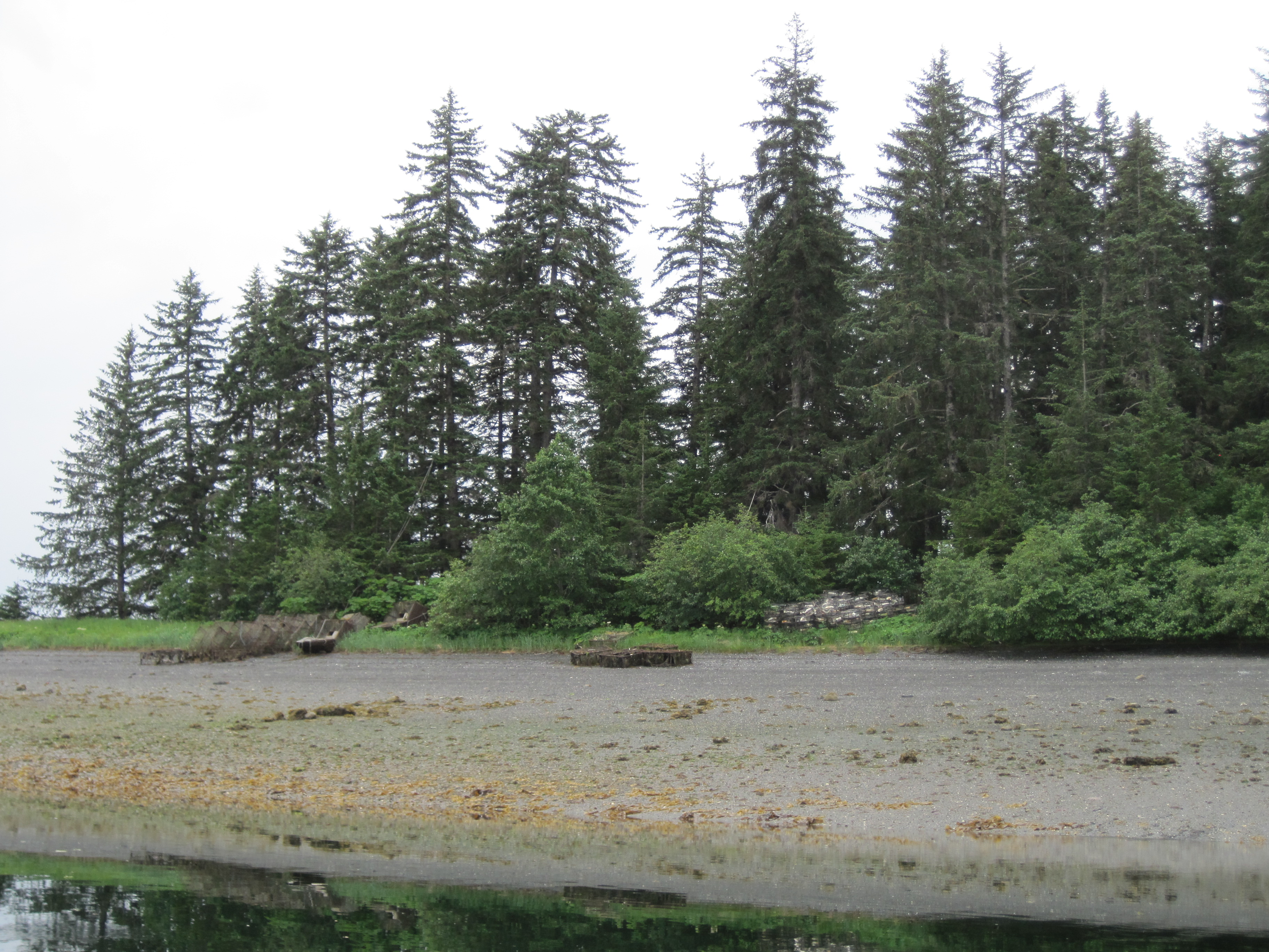
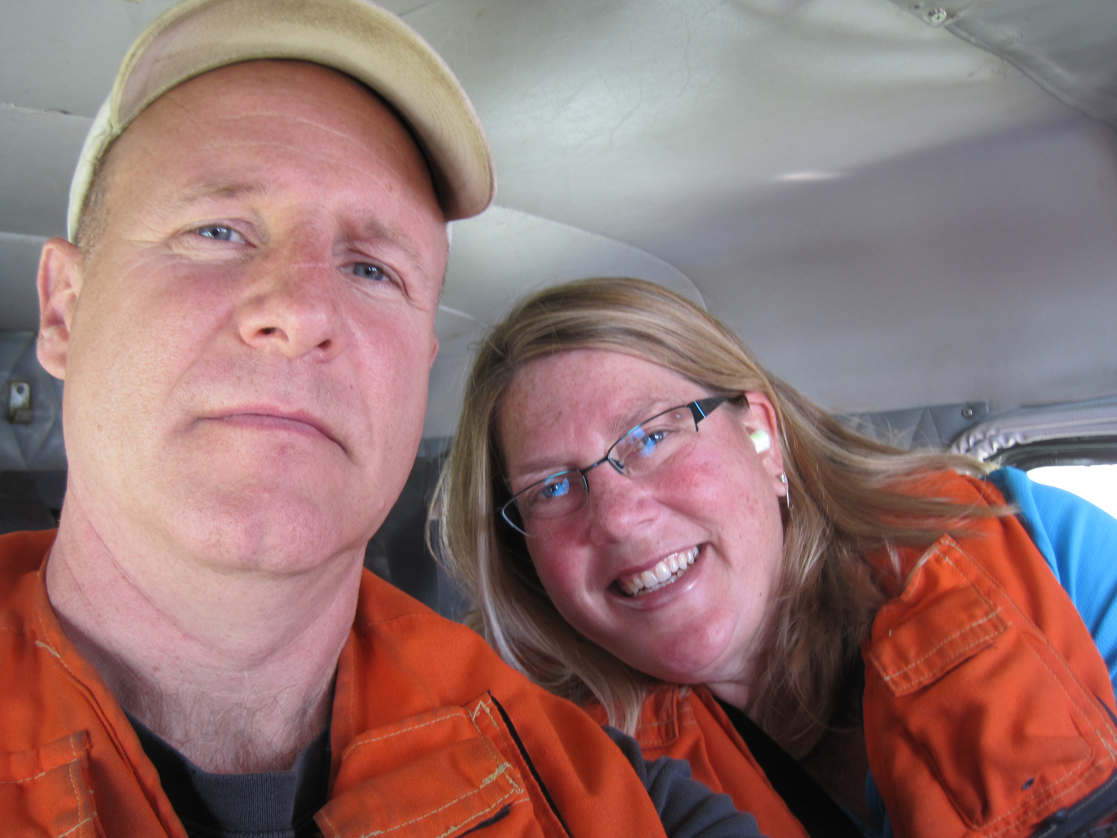
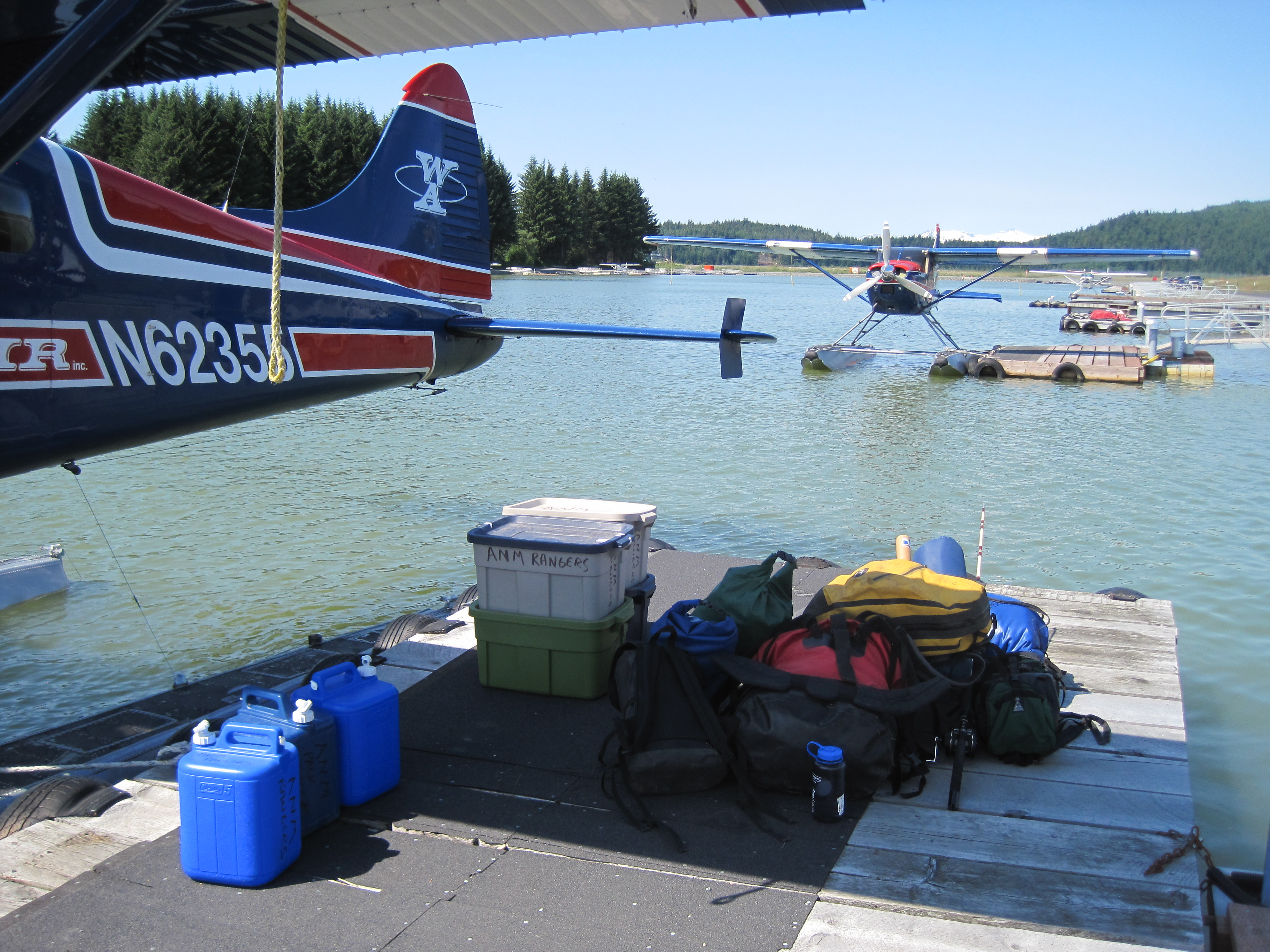
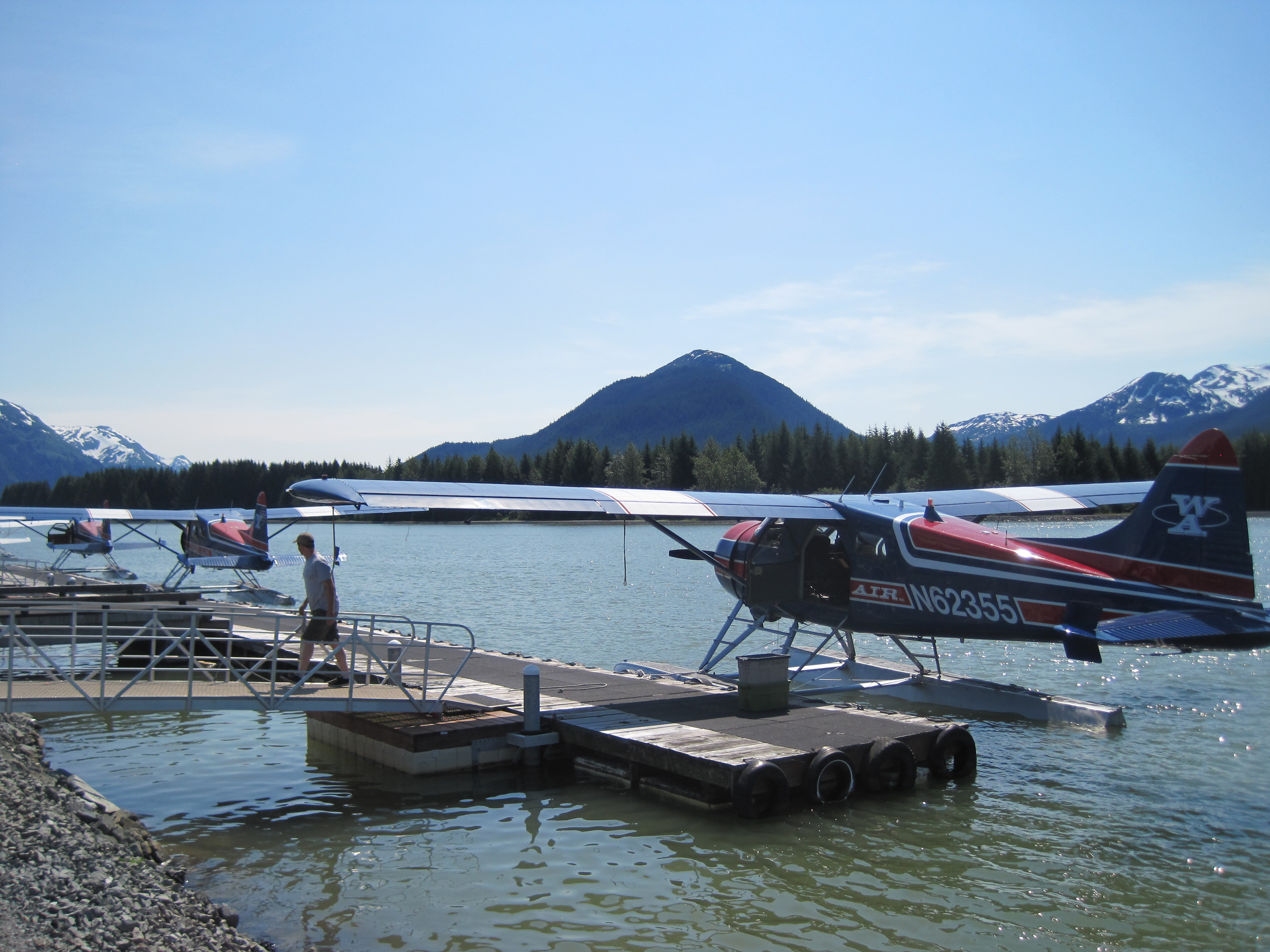
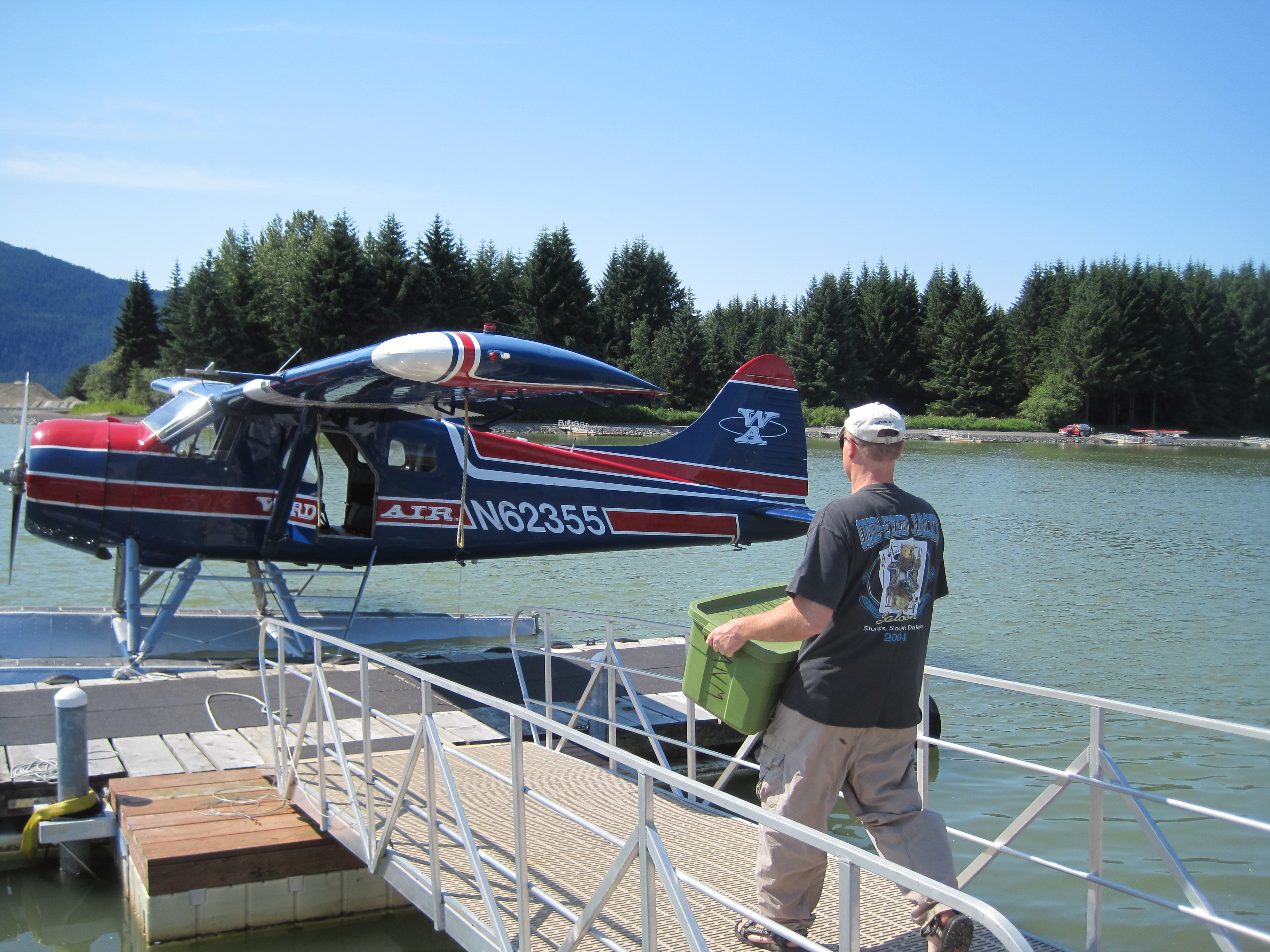
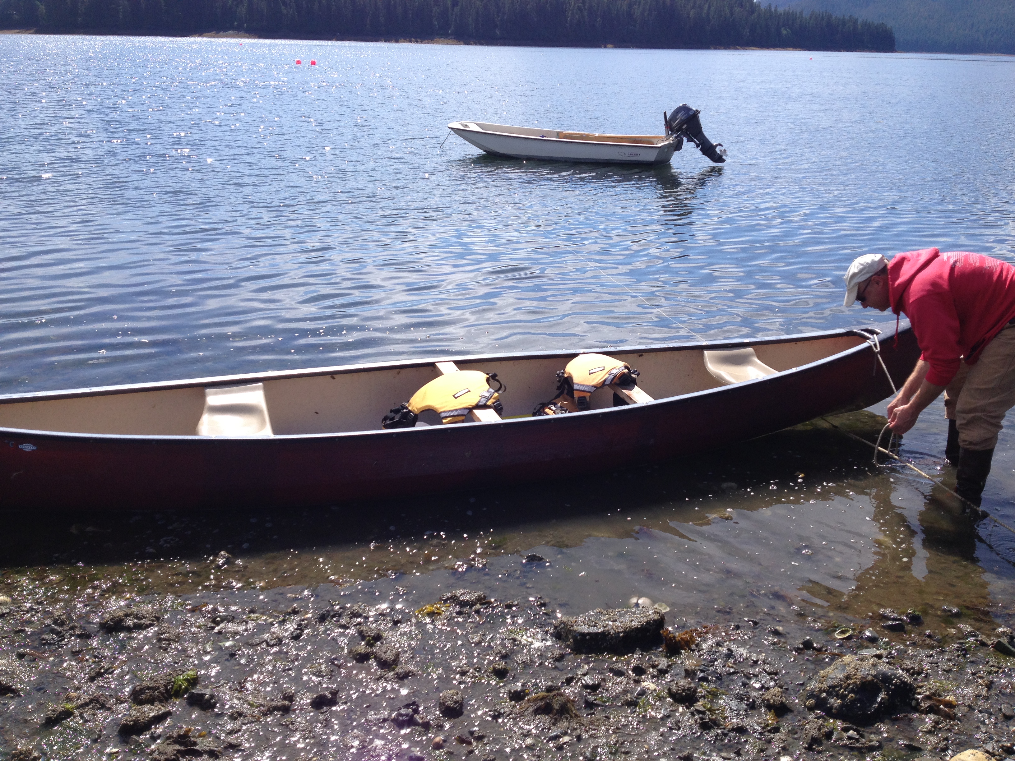
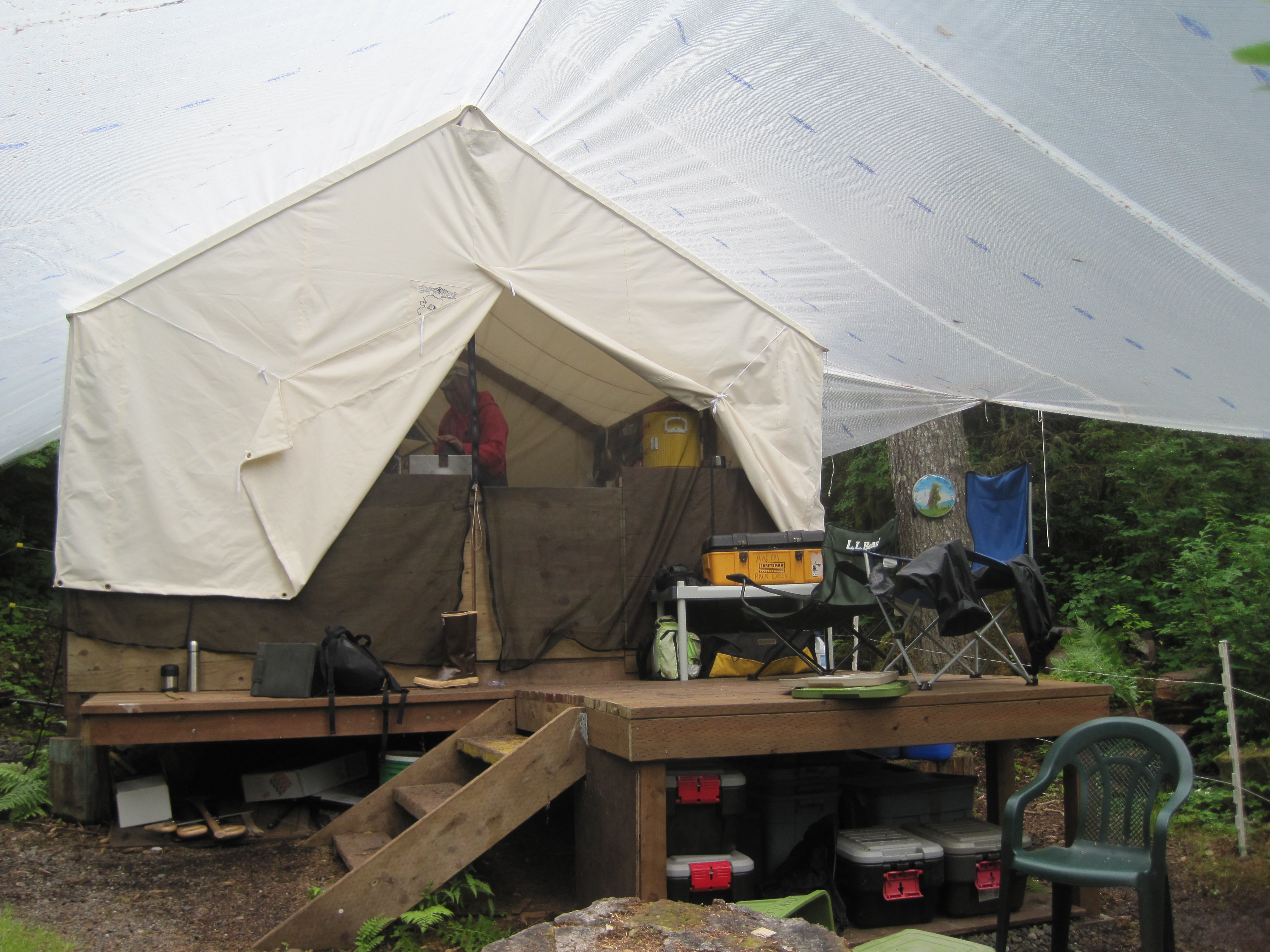
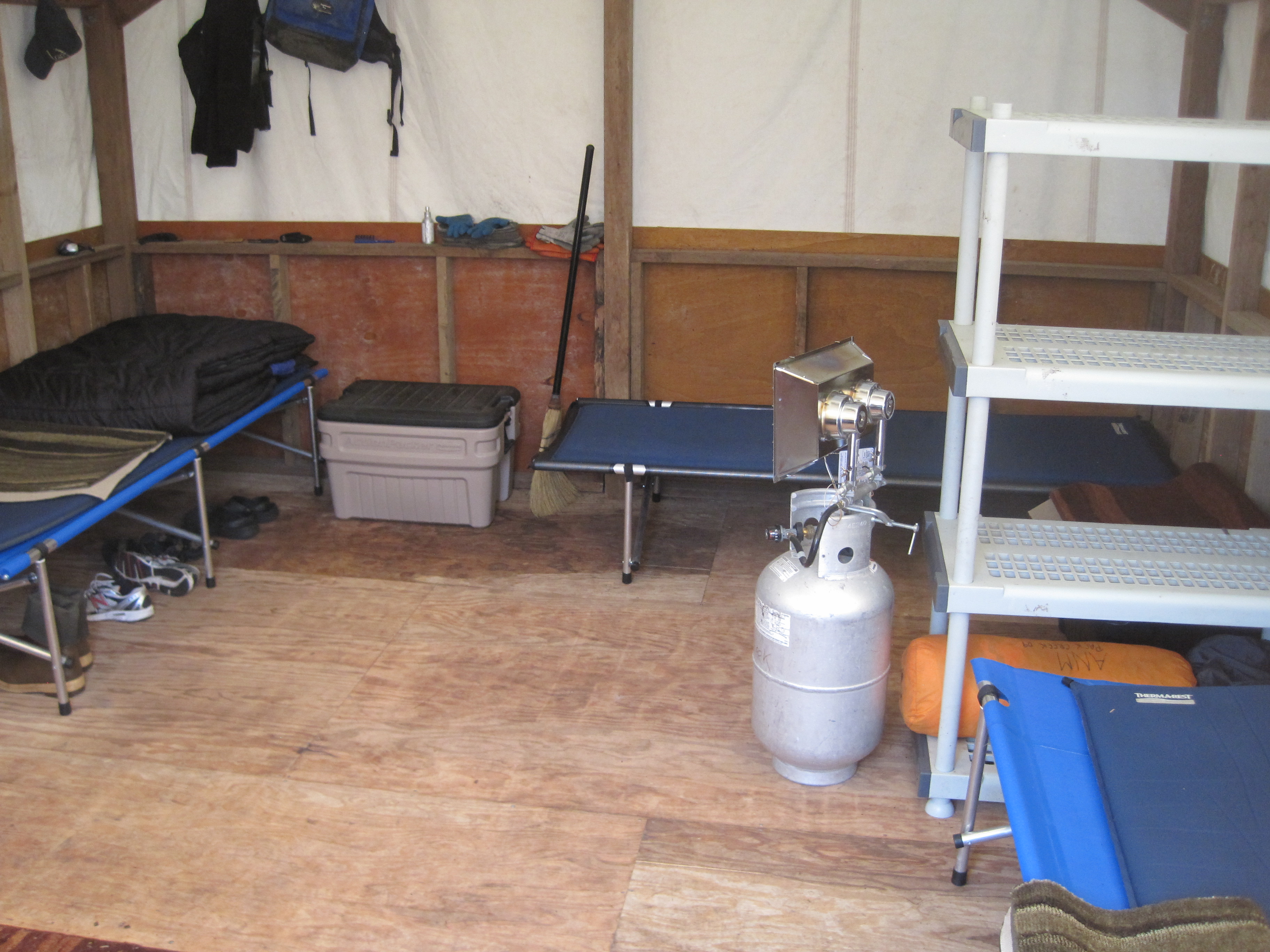
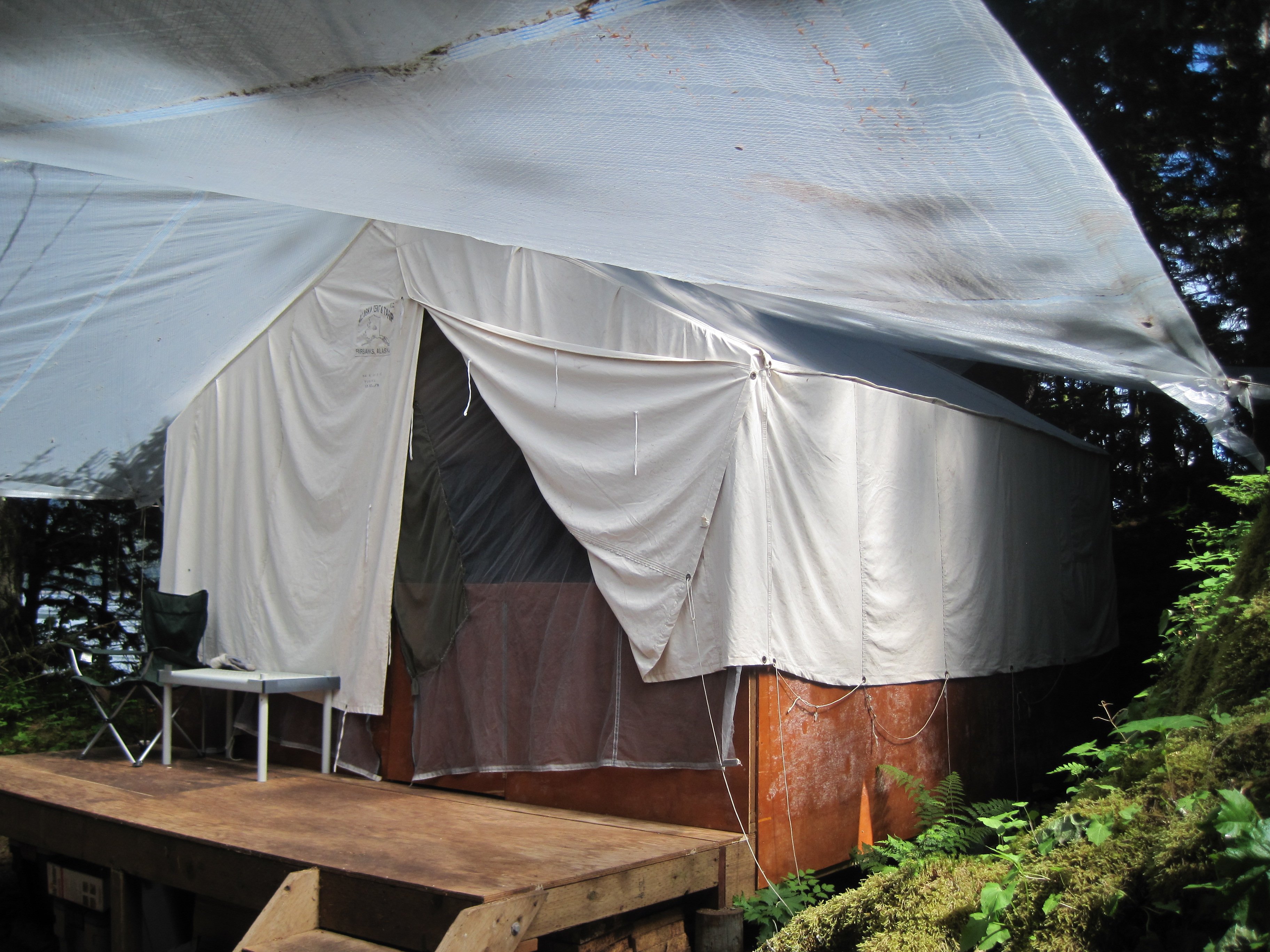
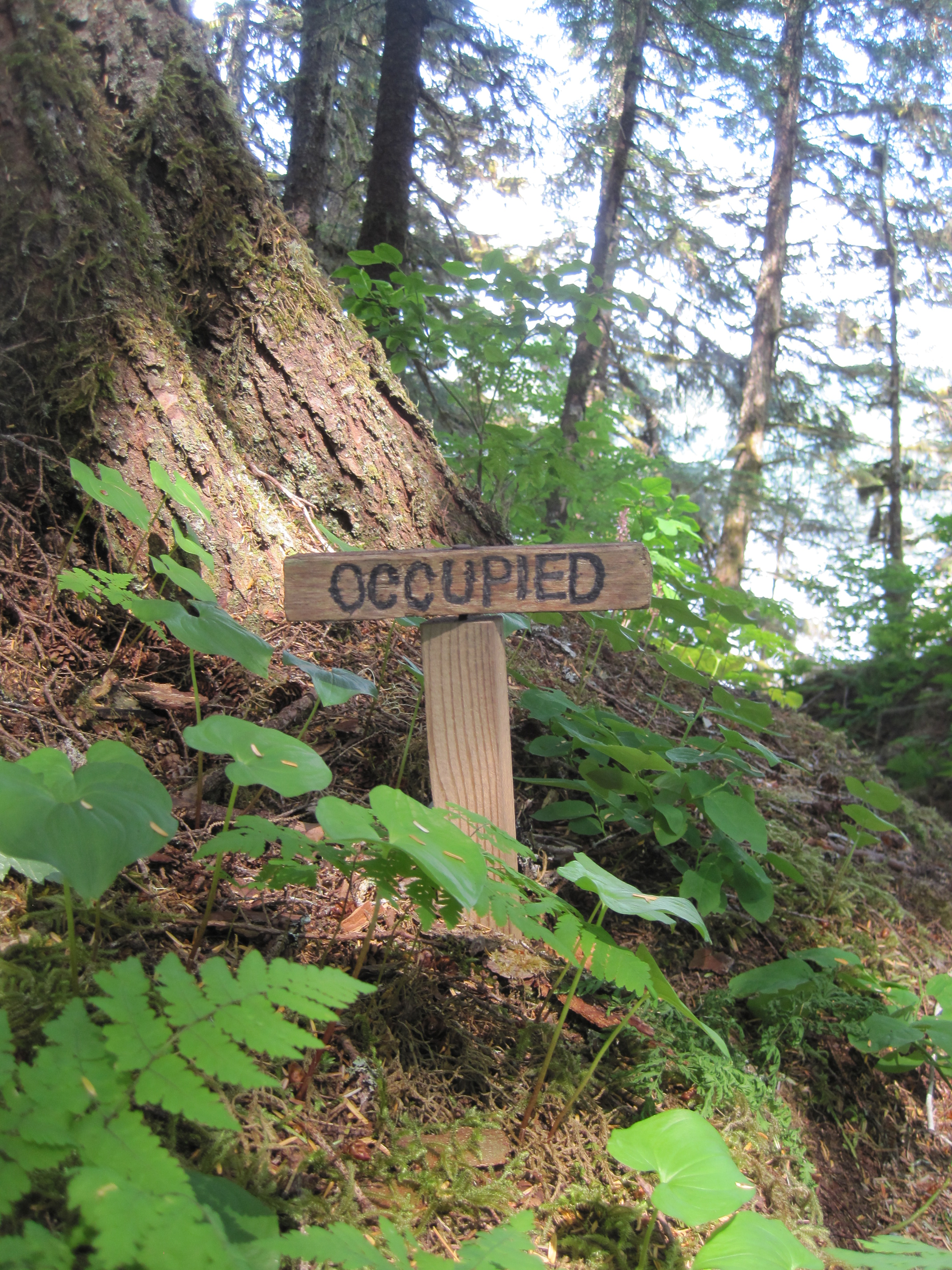
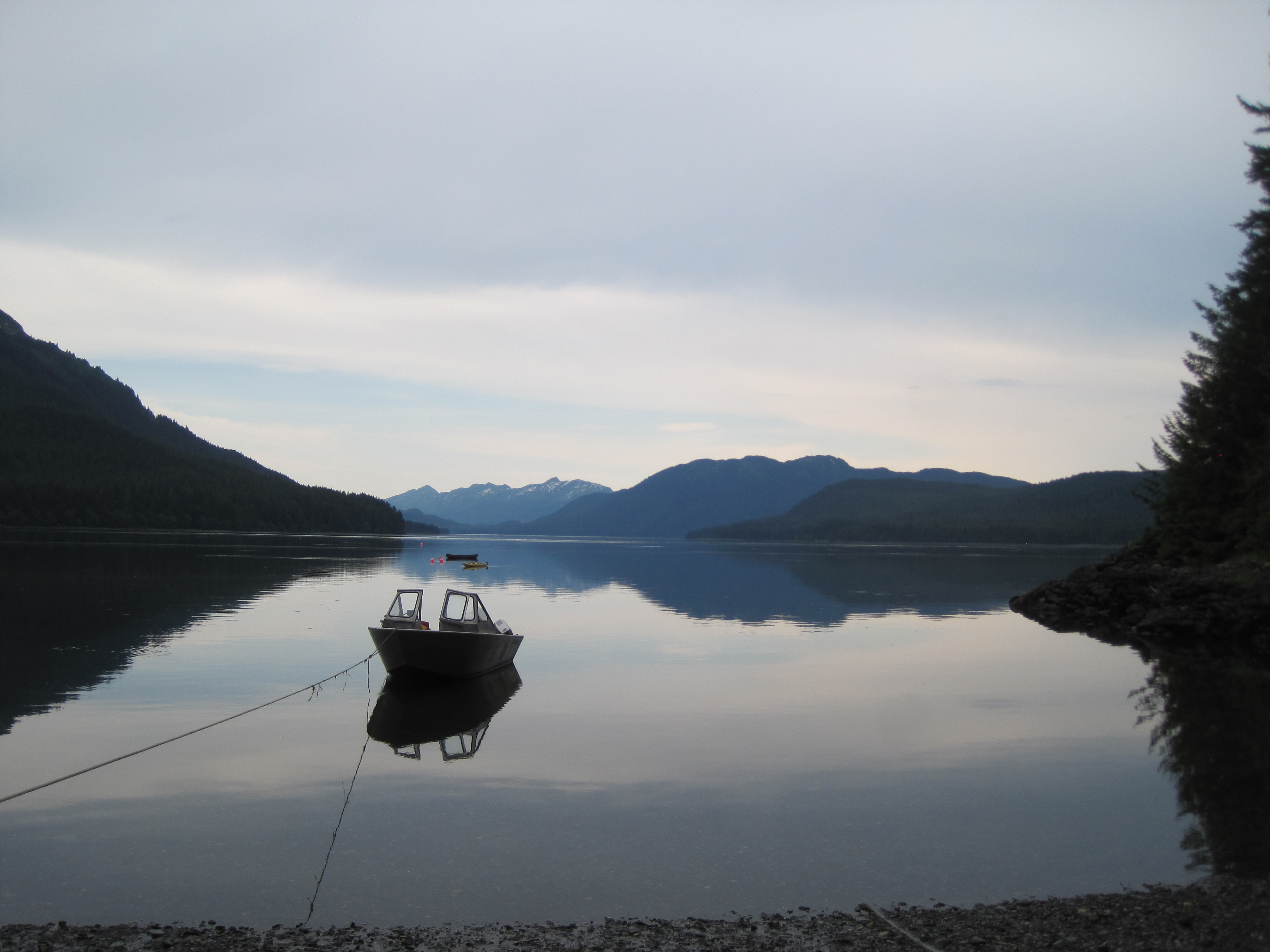
Our friends Matt and Kelly have a cabin up the Taku River and invited us to join them for the long weekend.  They took their boat up on Sat. but we opted to fly on the ‘dead head’ flight to Taku Lodge on Sunday.Harry on plane ride, leaving JuneauTaku Lodge was where we landed, this is a tourist destinatioin that has been there since 1923!  
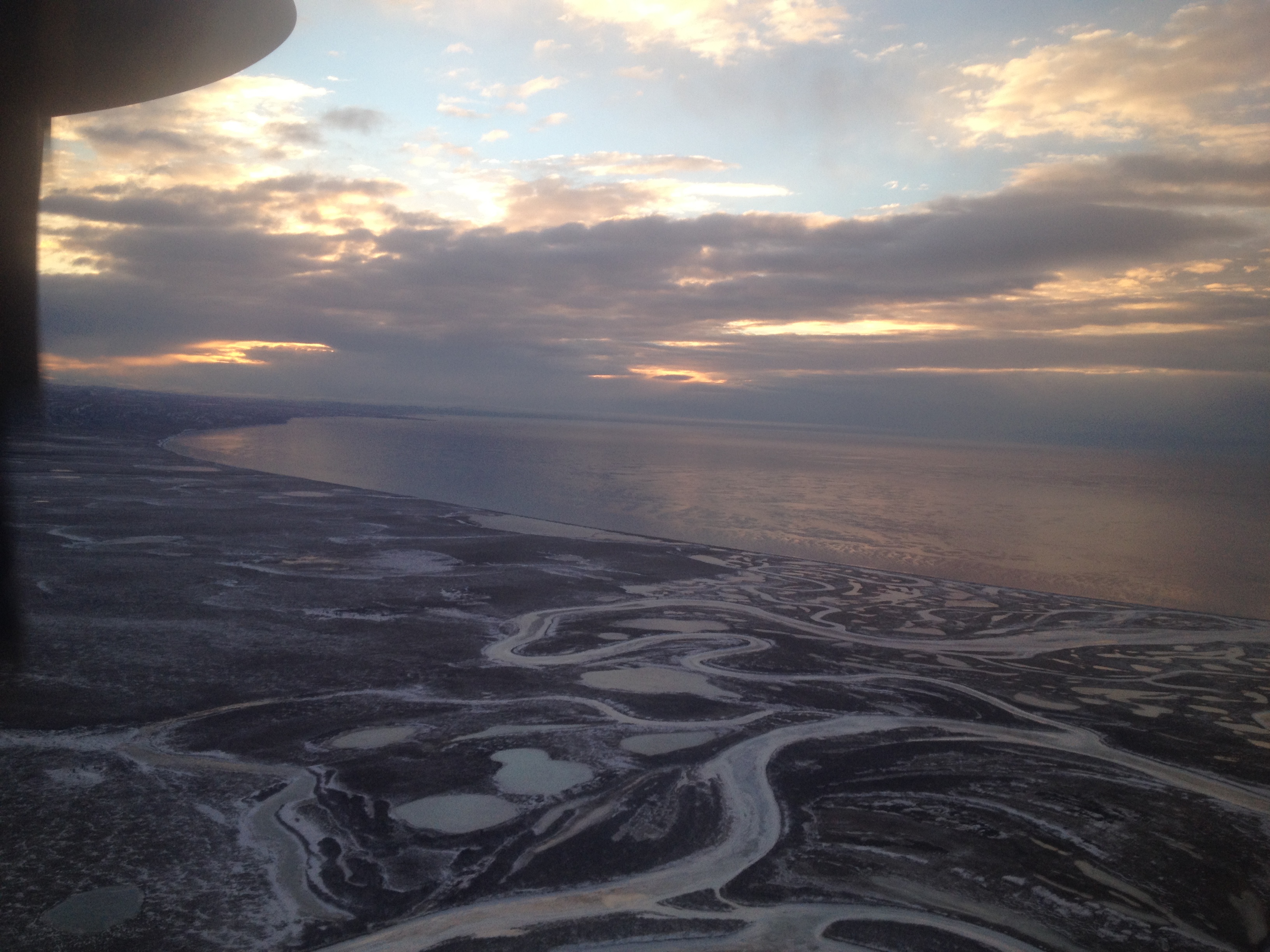
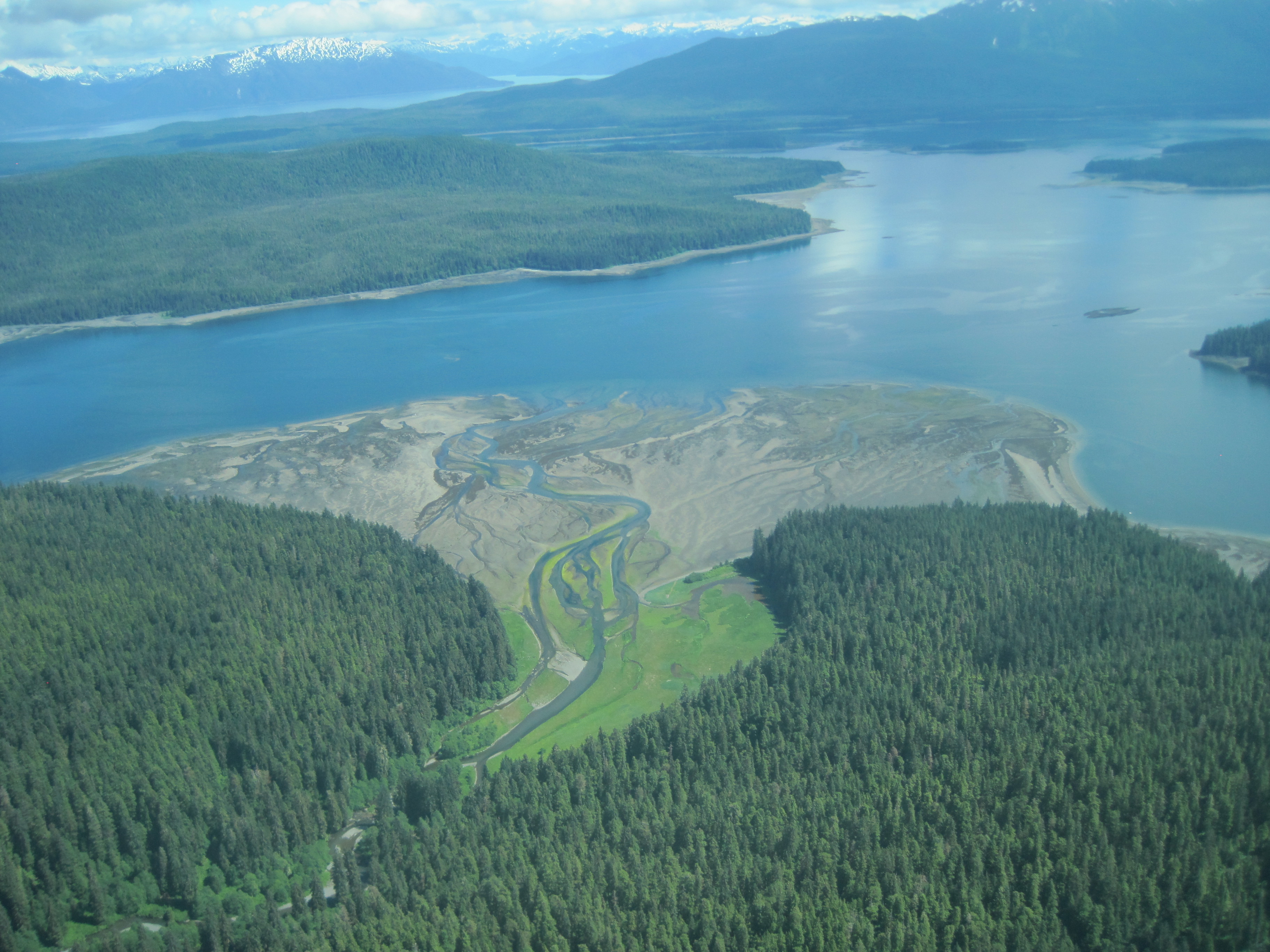
The flight was $65 person, to simply be dropped at their dock.  On the flight we saw the normal valleys and peaks but one neat view was that of the water below.  In this shot you can see where the river water meets the ocean water.  The river because it is made by glacial water is gray and made of fine silt (sand like) which is really just fine ground up rock from the ice moving over it.  on our flight you could see the water break, this is where the river water (silty from the glacier) and the ocean water, bluer and clear, meet!

Matt and Kelly came on their river boat and loaded us for the ride back to their cabin.  Harry and Kelly as we leave the Lodge

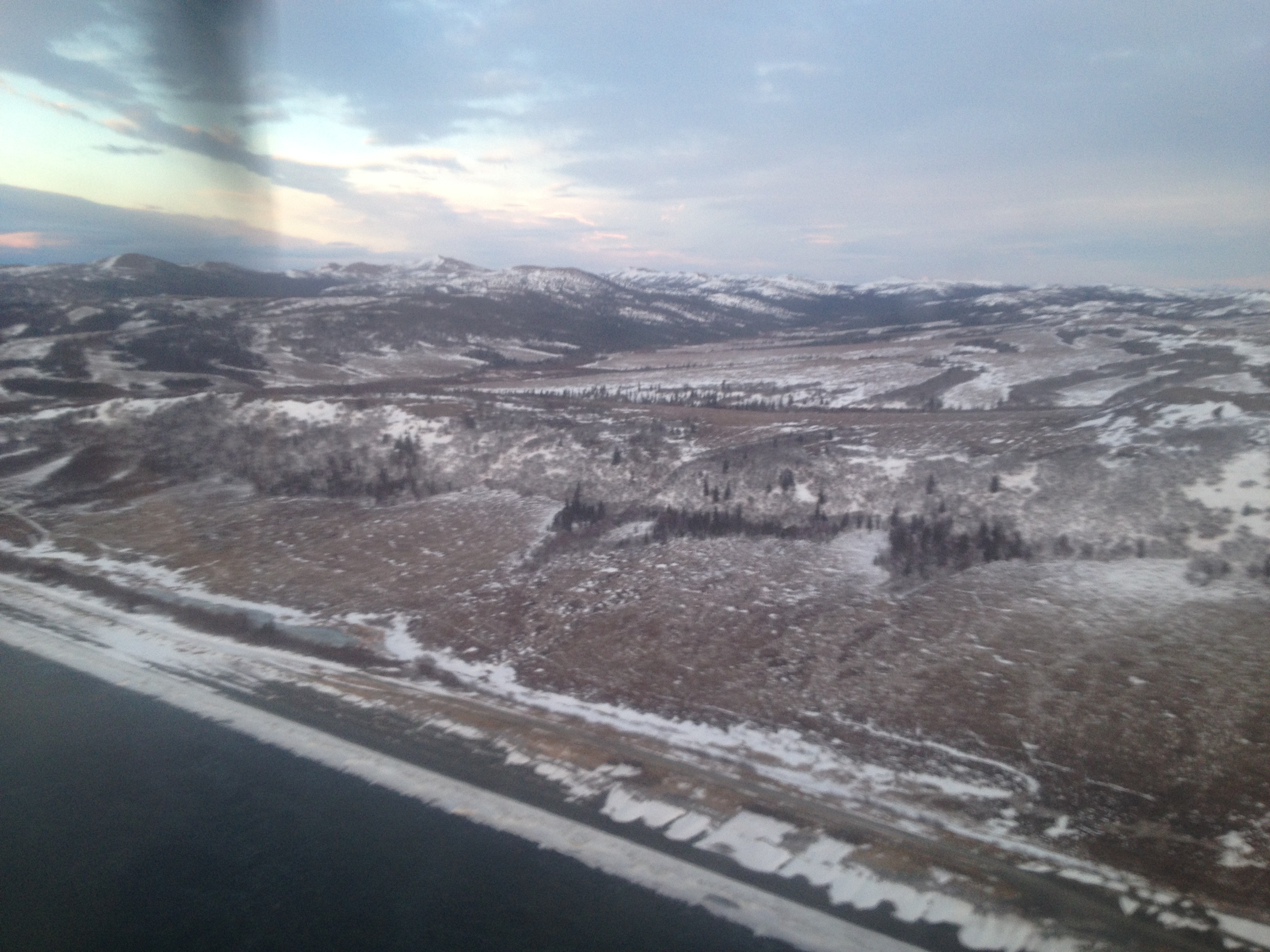
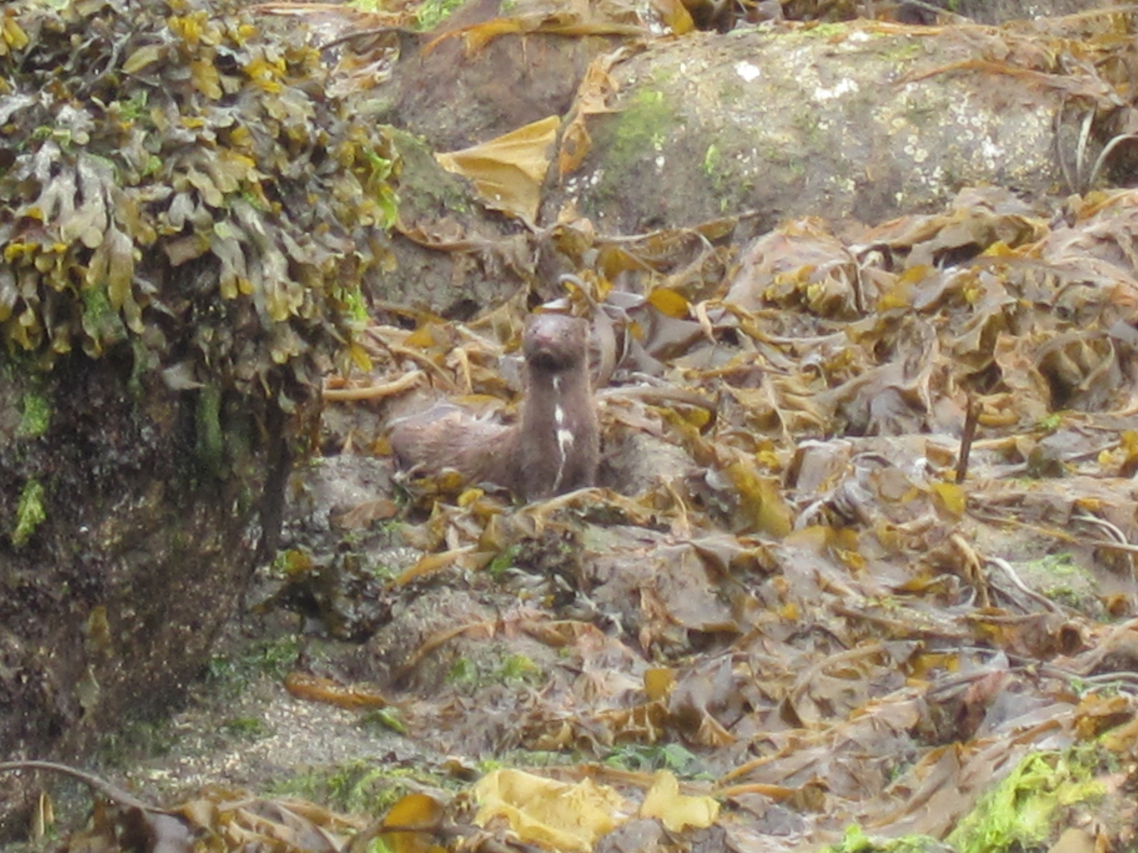
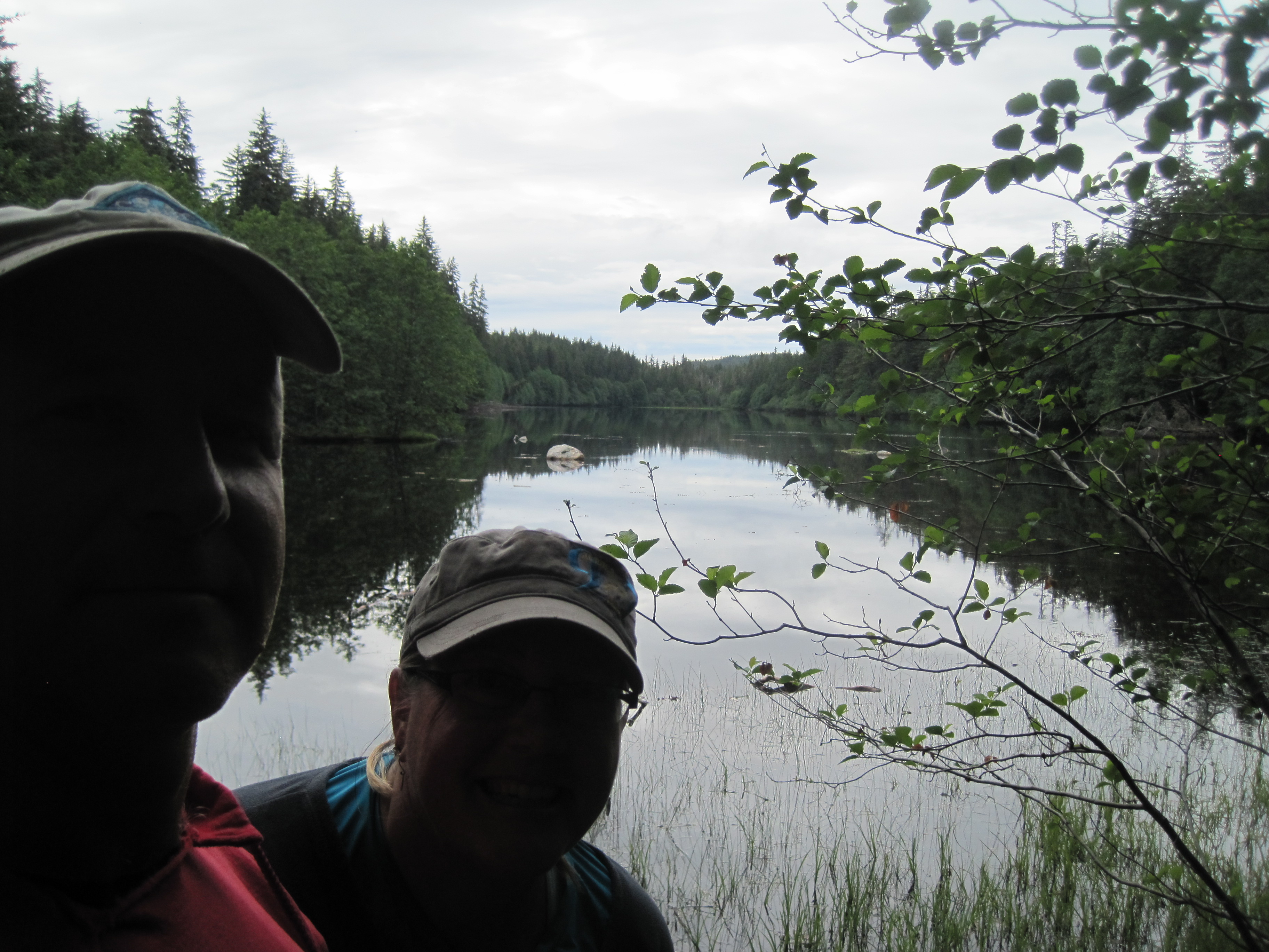
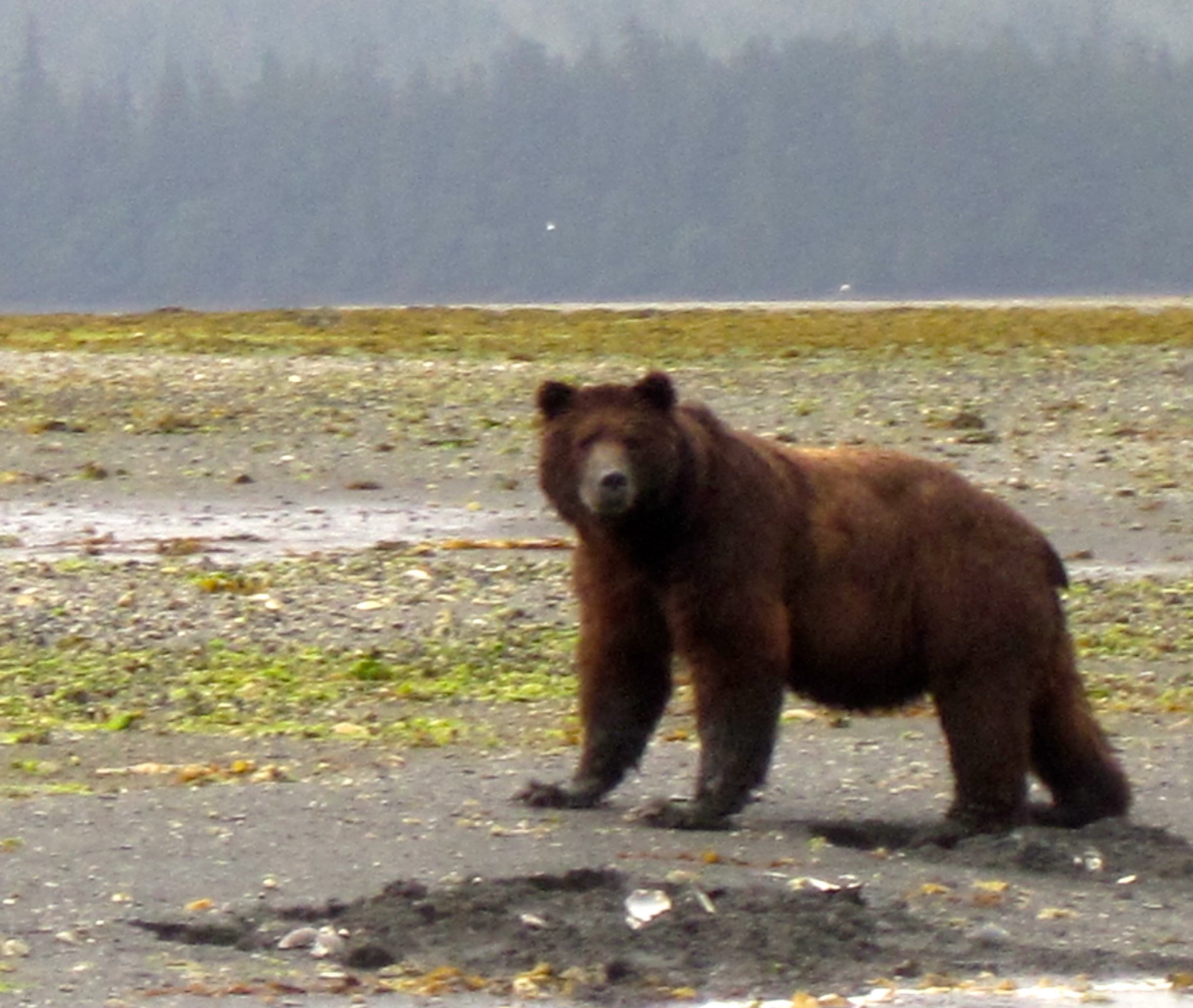
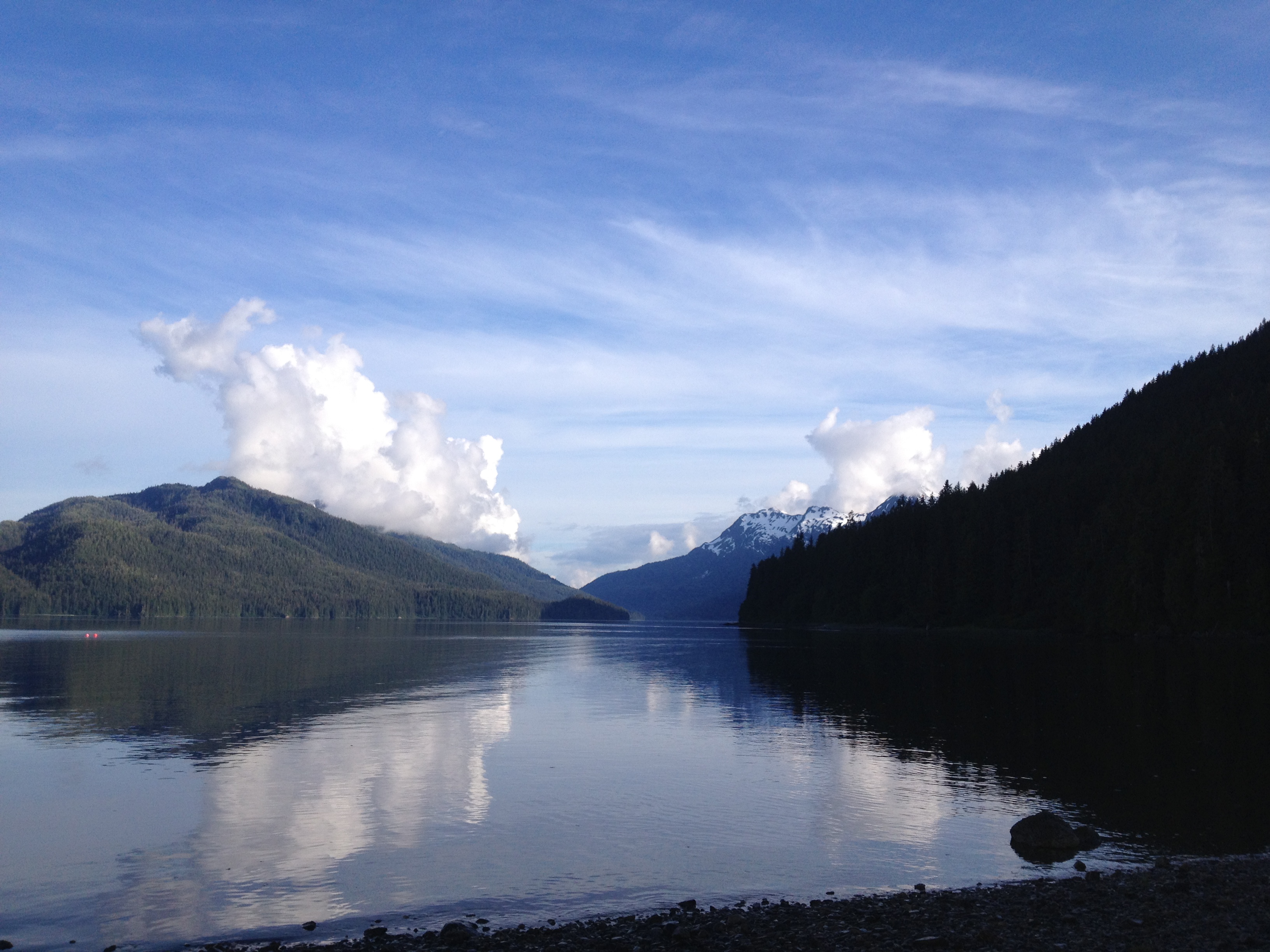
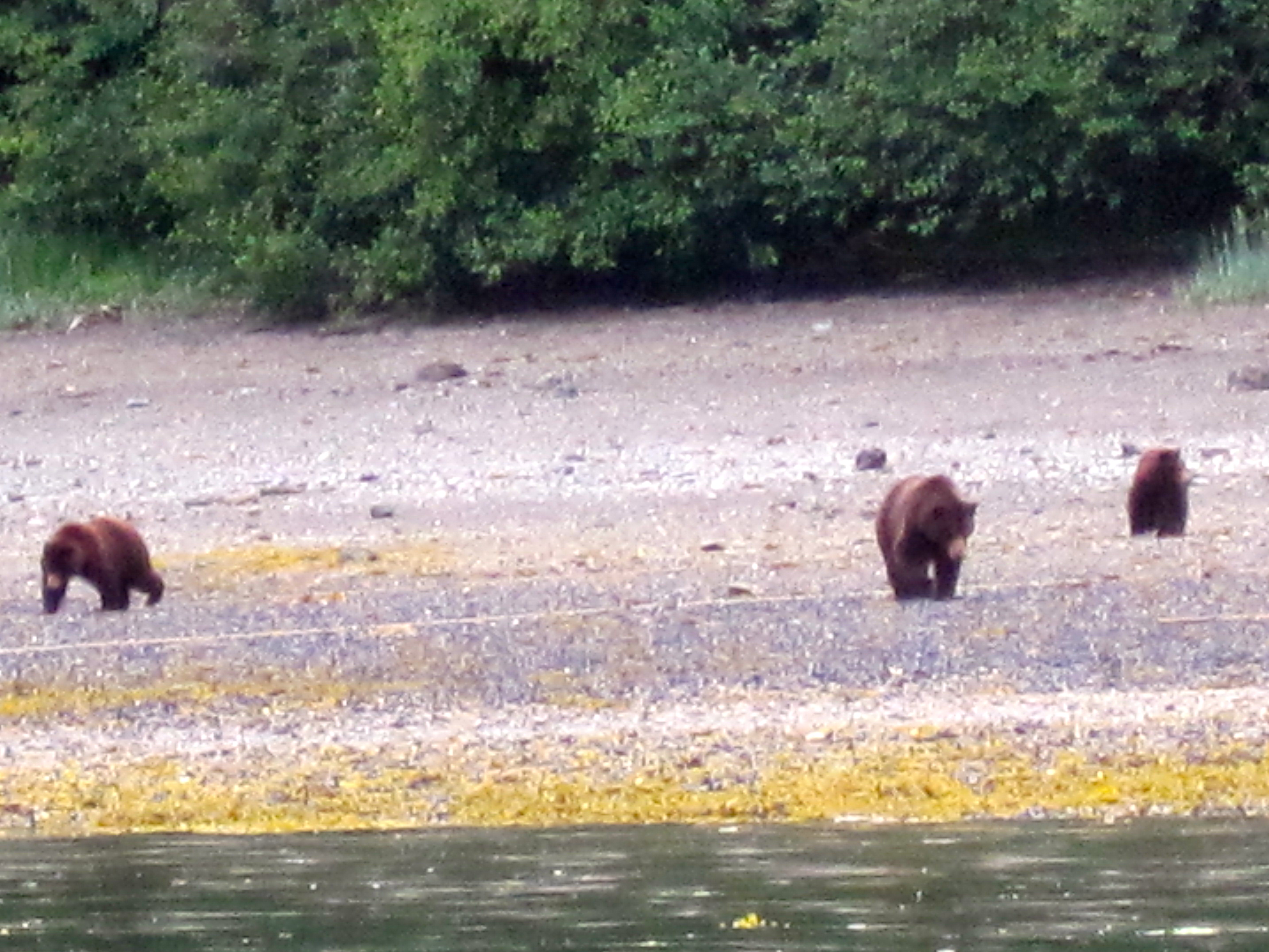
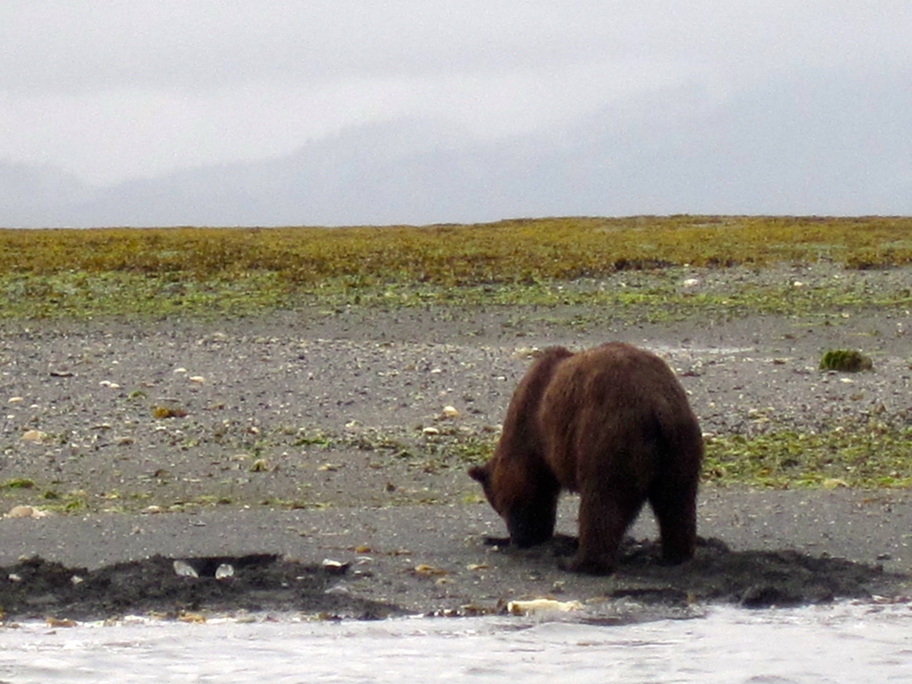
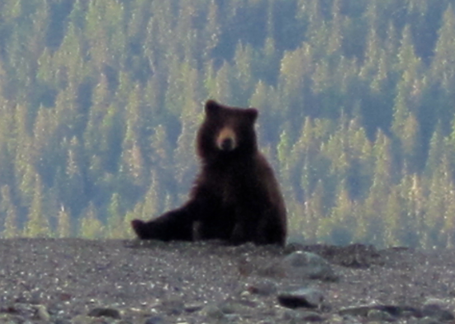
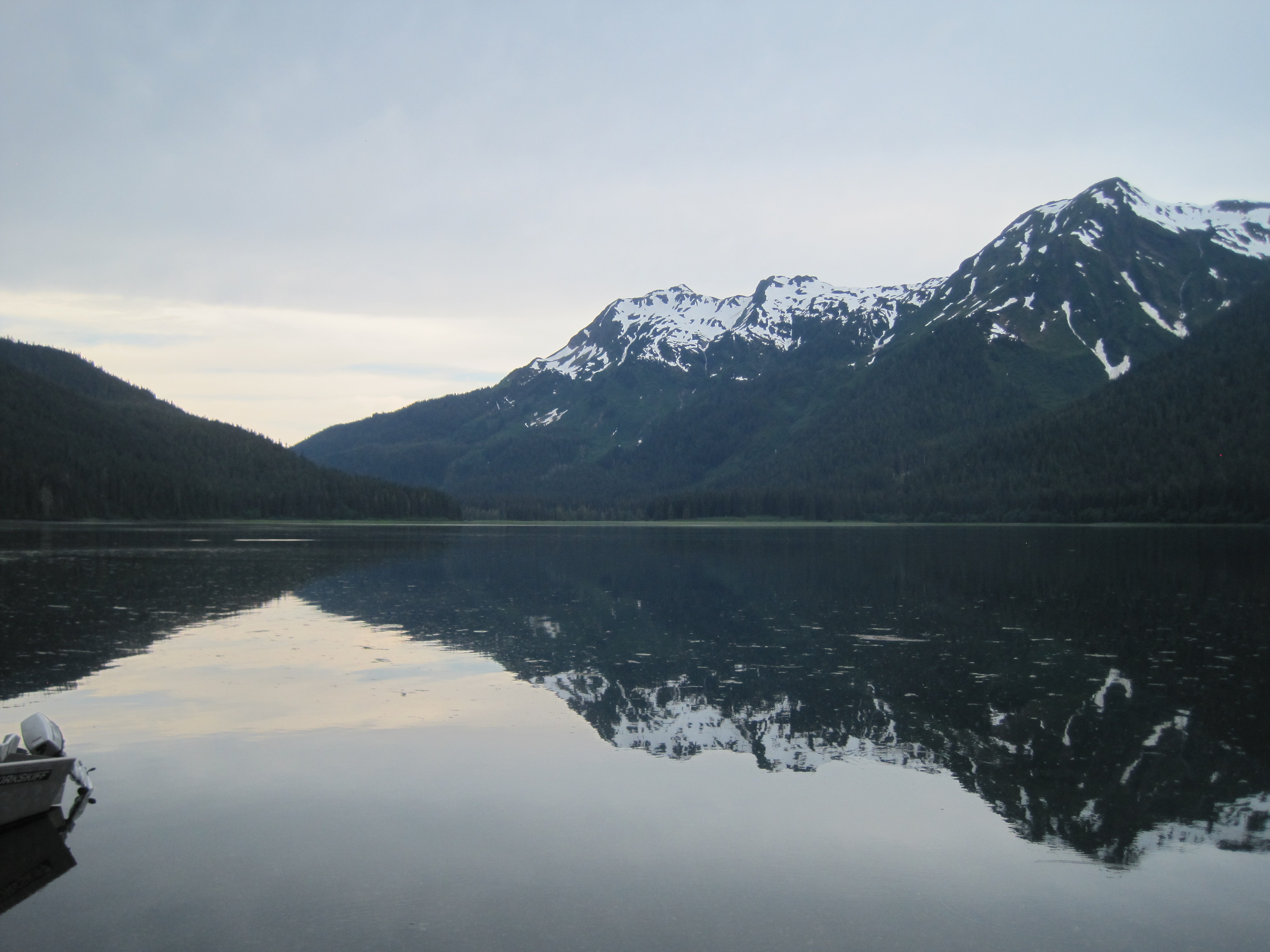
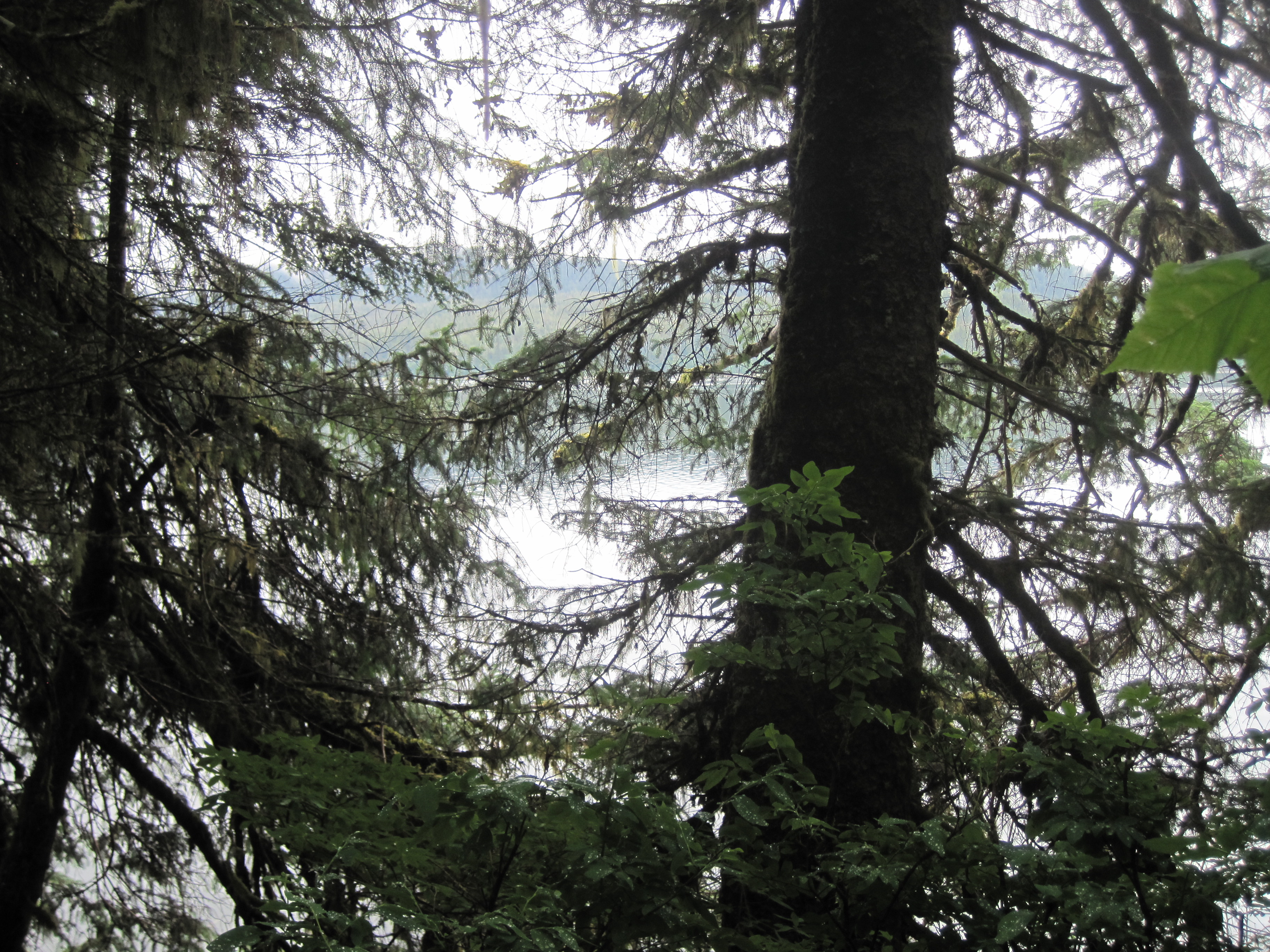
Riding on the river was such an amazing sight!  There are waterfalls coming down on all the rocks towards the south side of the ride and 3 glaciers on our north side, Hole in the Wall, Taku and Norris. view from Taku Lodge, of Hole in the Wall Glaciersee the eagle on the log? the edge of the glacier is behind those<br /><br />
trees

riding boat right in front of glacierFace of Taku Glacier

first spotting of the cabin on Taku Point

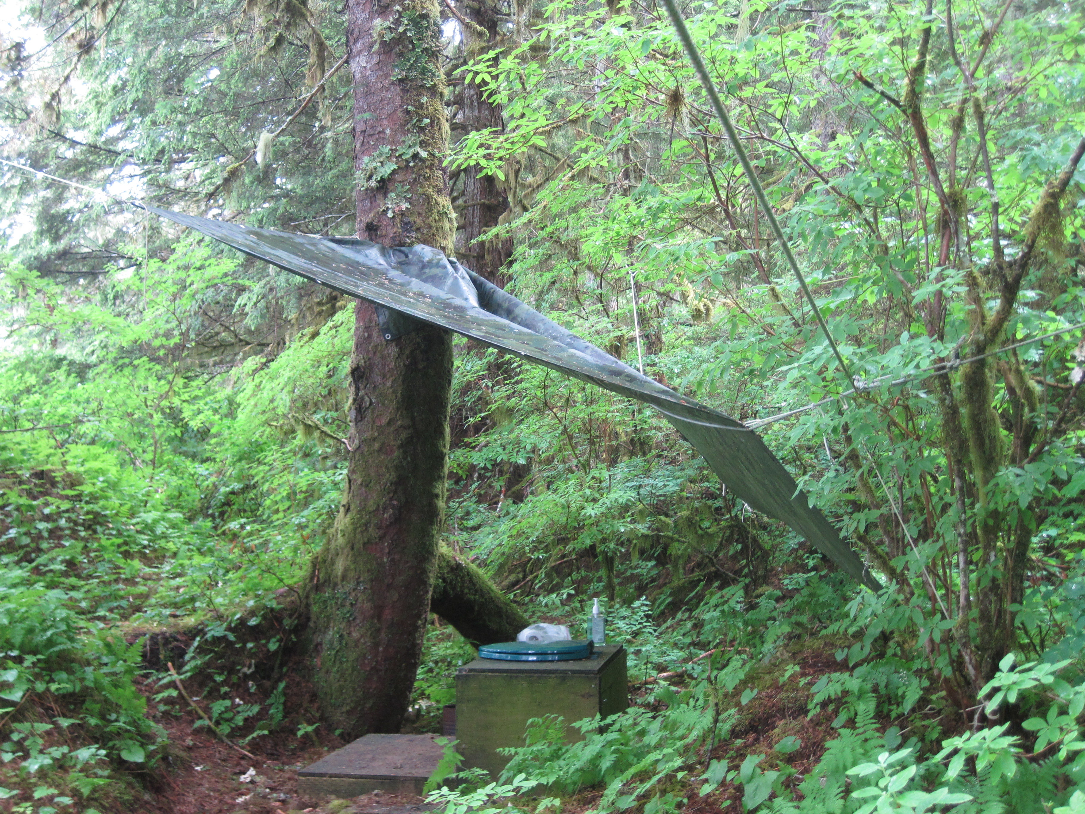
We got to the cabin, off loaded some gear and took off again for more exploring!  This is when the fun began!!!
We got up near Davidson Creek and thought it would be fun to go to the front where it flows into the river/ocean.  We were attempting to find the slough that would lead us there but instead we got into the wrong slough and headed towards the opposite direction.  Before long, we were stuck!attempting to get us out of the slough

Stuck in the low tide, mucky, muddy shallow slough of some other falls.  Kelly and Harry jumped turn us around, I hopped out to lessen the weight load and Matt stayed in boat to try to get motor back on and drive it out. Harry helping out!

It took a good 45 minutes of pushing, pulling, tugging and such to get the boat out of the slough and to high enough water (1 foot was all we needed) to ride the boat back to the cabin.Here we were skiing across the mud flats trying to get out of the sloughmore of the slough
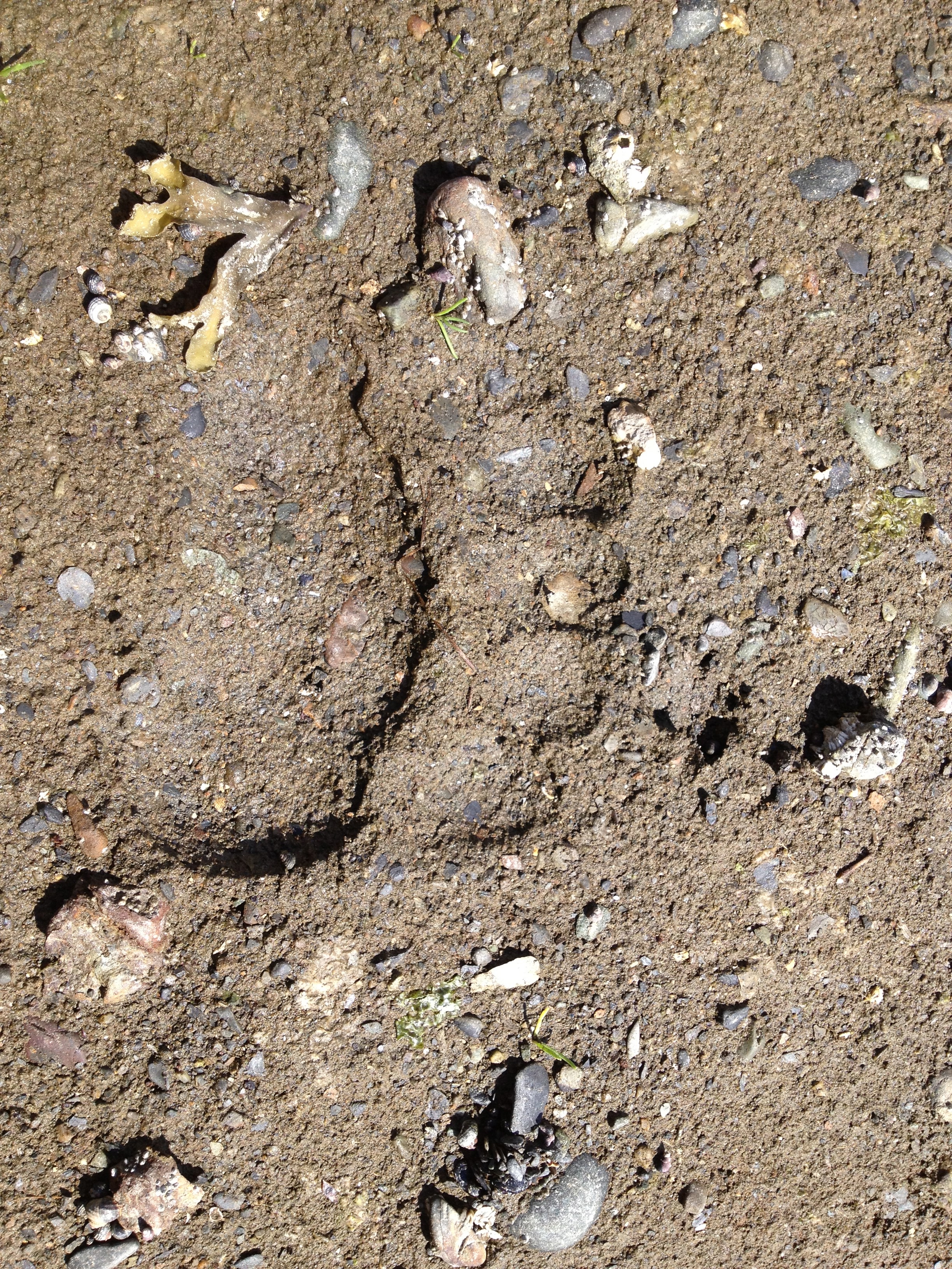
I basically walked out over the mudflats, but it felt more like cross country skiing!  I ‘slid’ across this mud.

Each of us was muddy and wet, most of us got water in our boots.  Matt cheering as Kelly and Harry rode the boat out!

We laughed a lot during the time, and it was not really scary because we knew the tide would eventually go the other way and get higher.  The scariest part was probably after we got in deeper water and took off at a good pace, me up front, Harry and Kelly in the middle and Matt in the back driving, and BOOOOMMMM we hit a rock!  Harry said my feet went up in the air and the look on my face was priceless.  We were all okay, but it was funny.
relaxing at night in the cabin
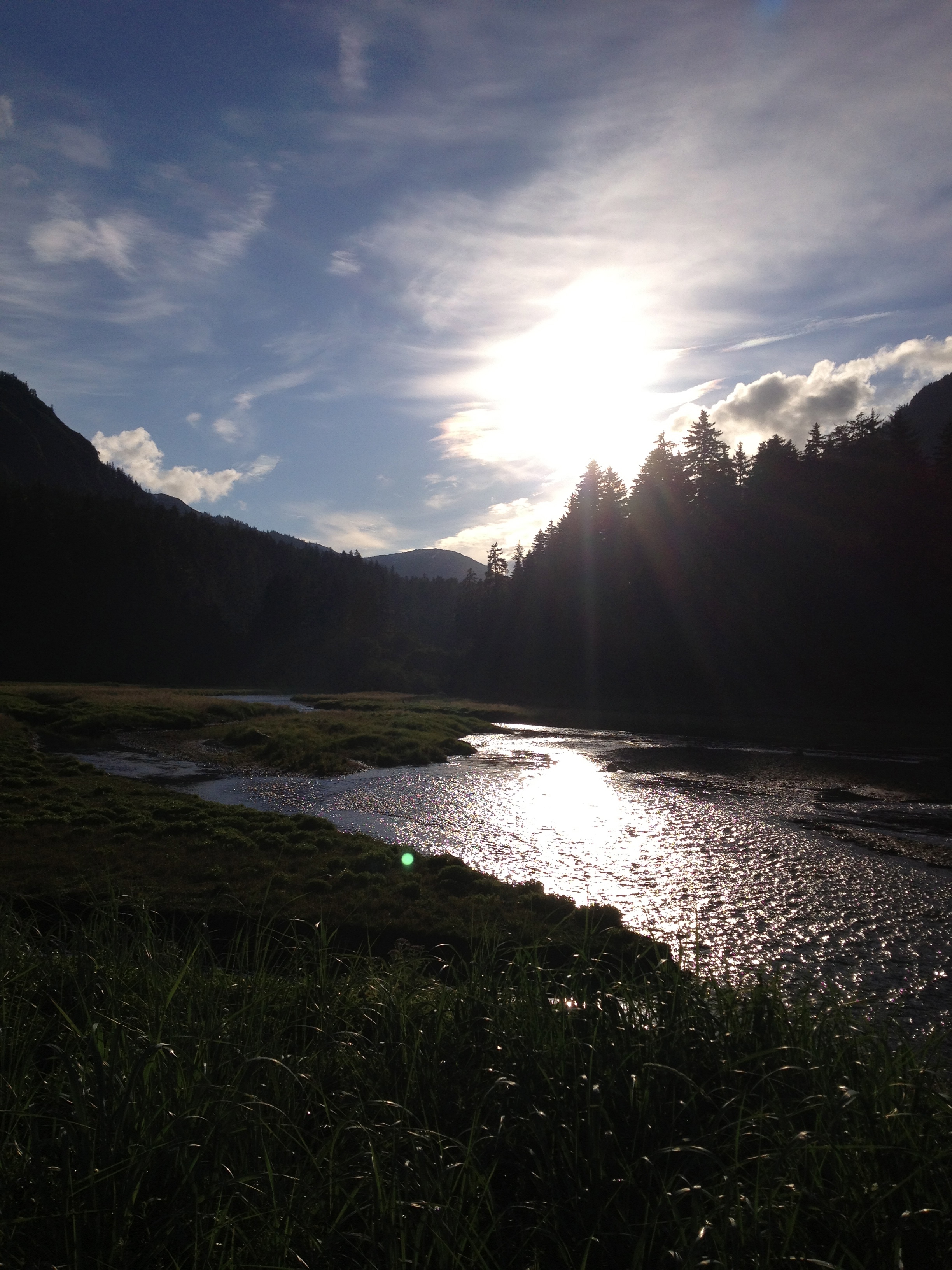
That evening we had a nice dinner in the cabin, honkered down for a good nights rest, and awoke to a cloudy, socked in Sunday morning.

Harry and Lena,(matt and kelly's dog) enjoying the walk in the rain

Bummer, we could not enjoy the view as much as we might have on a good day. that is Taku Glacier as seen from inside the cabin, what a view!

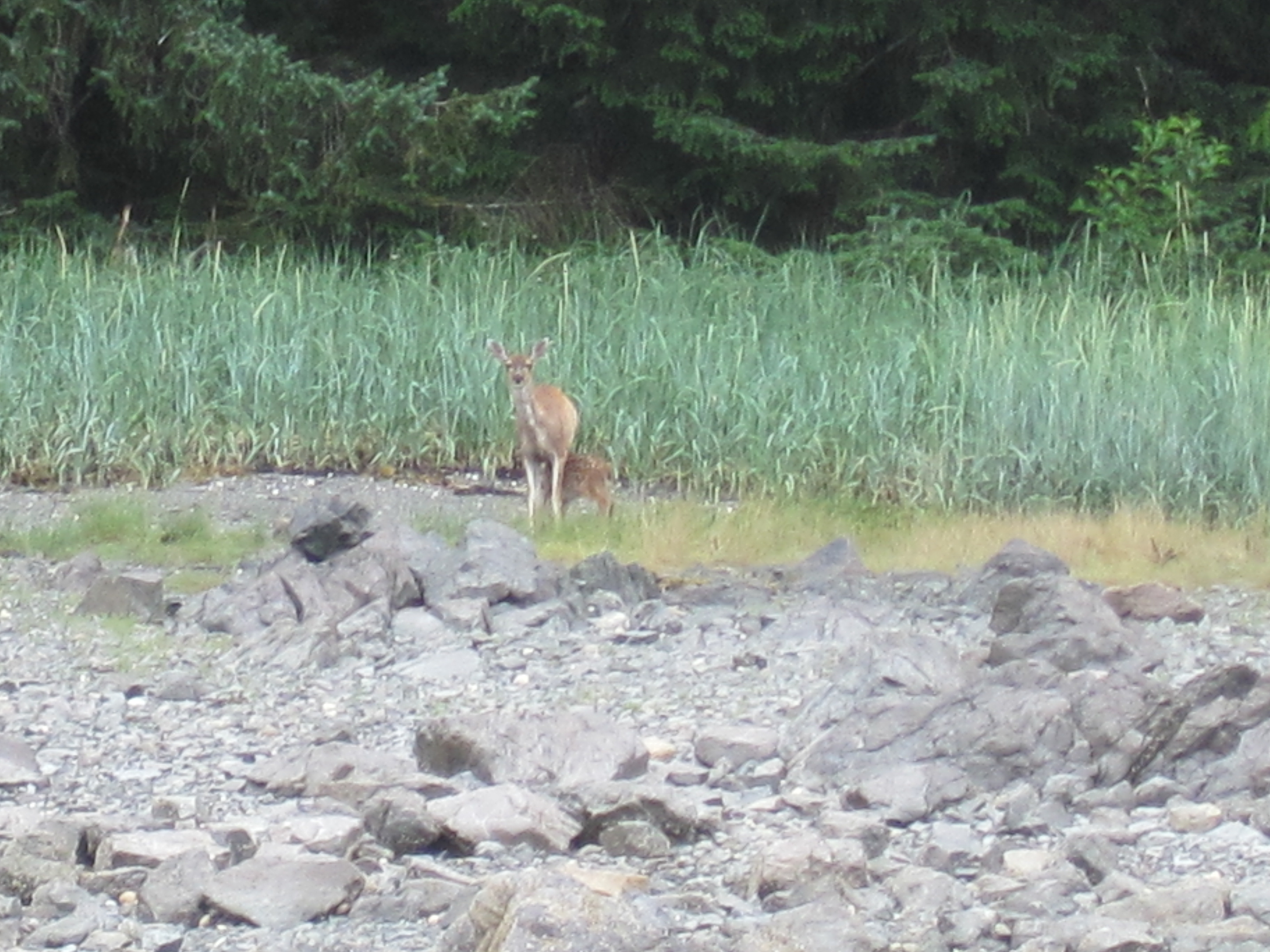
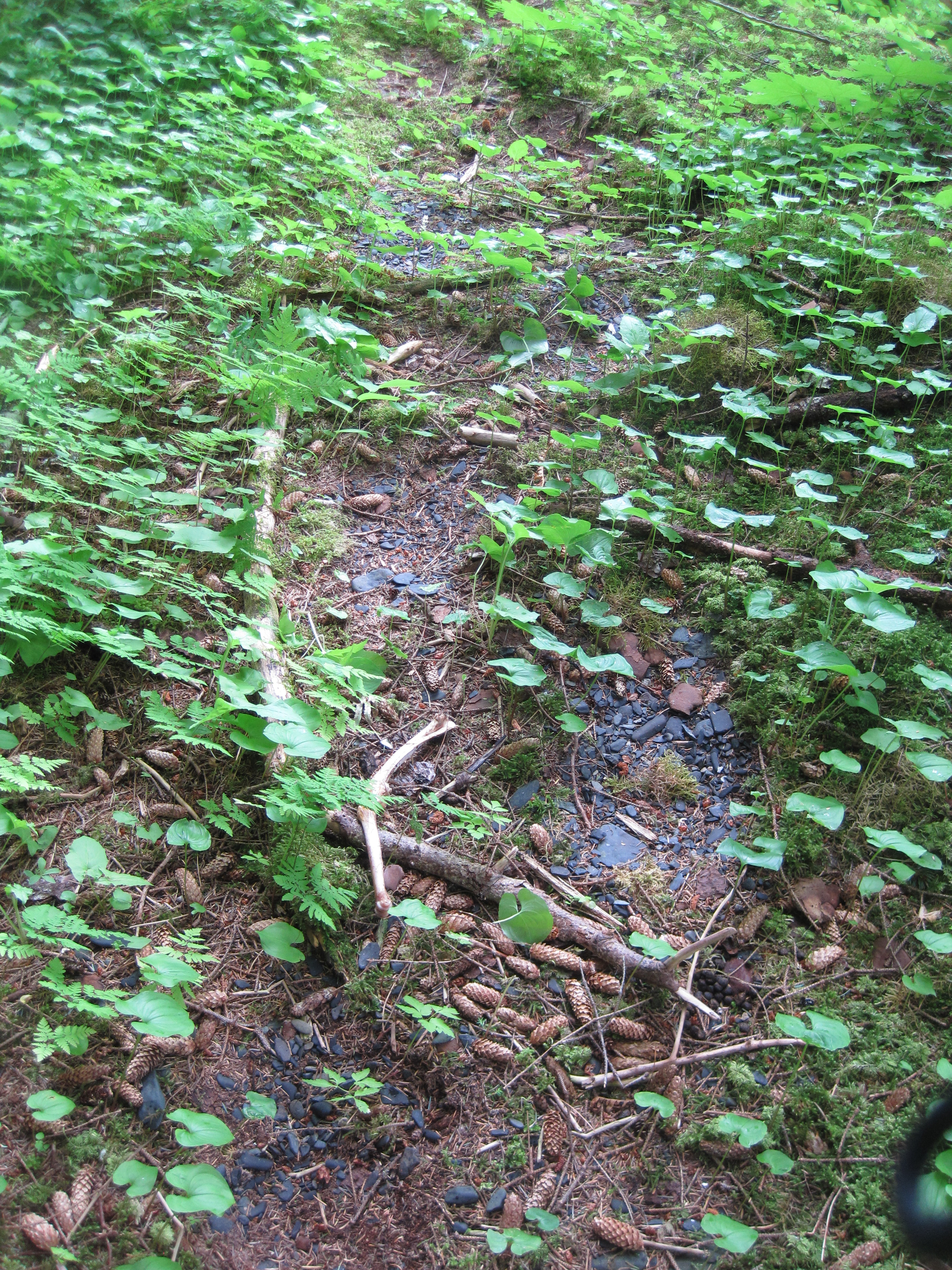
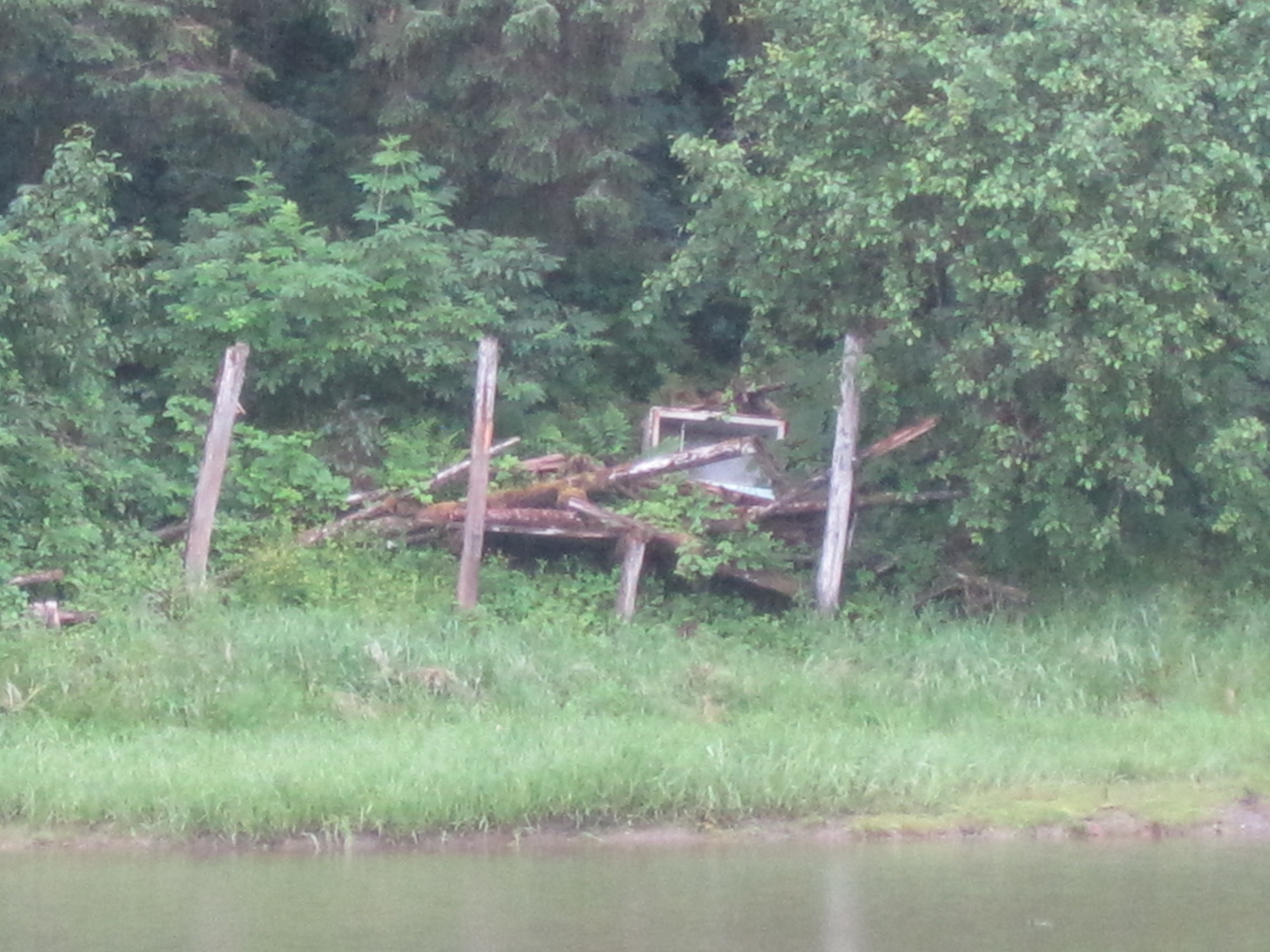
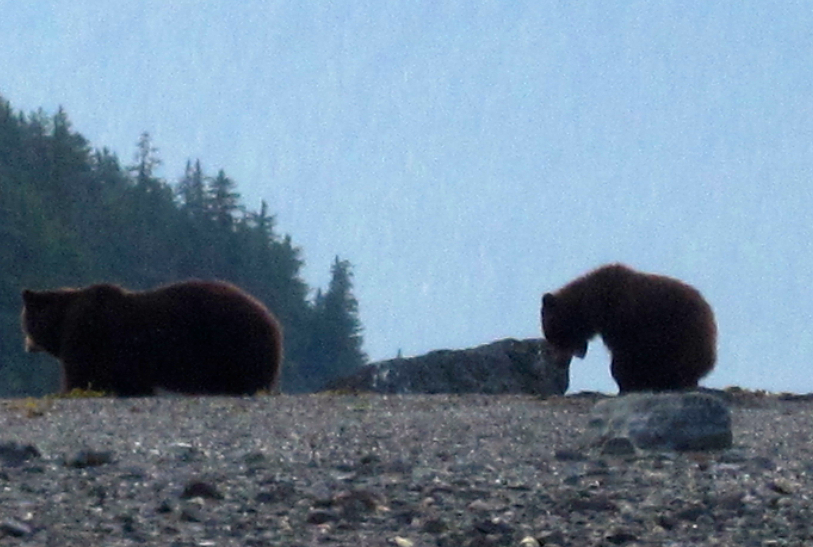
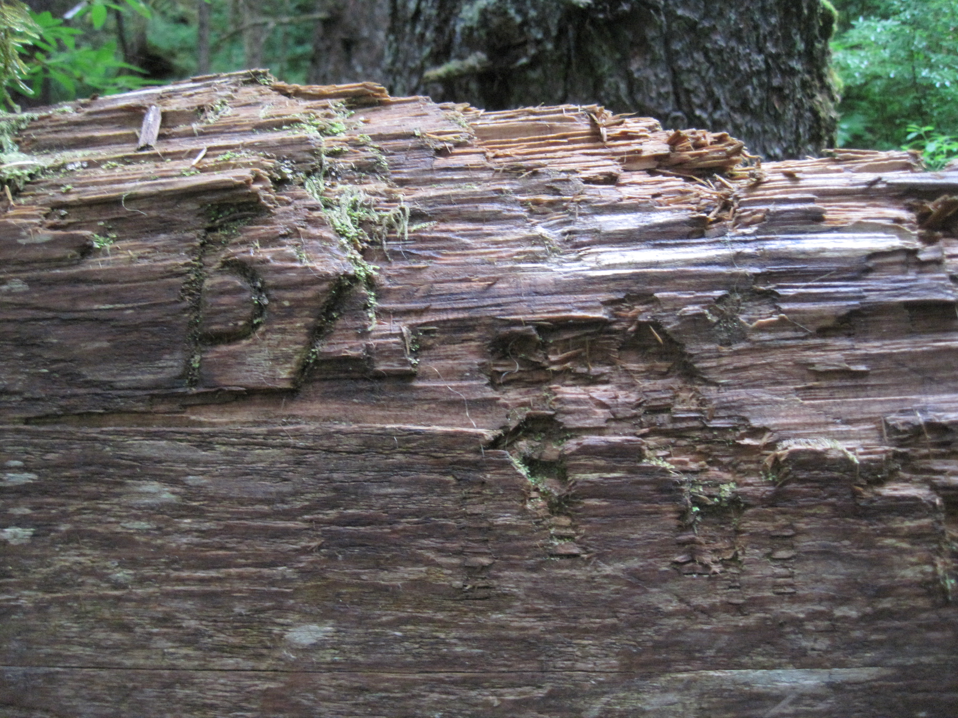
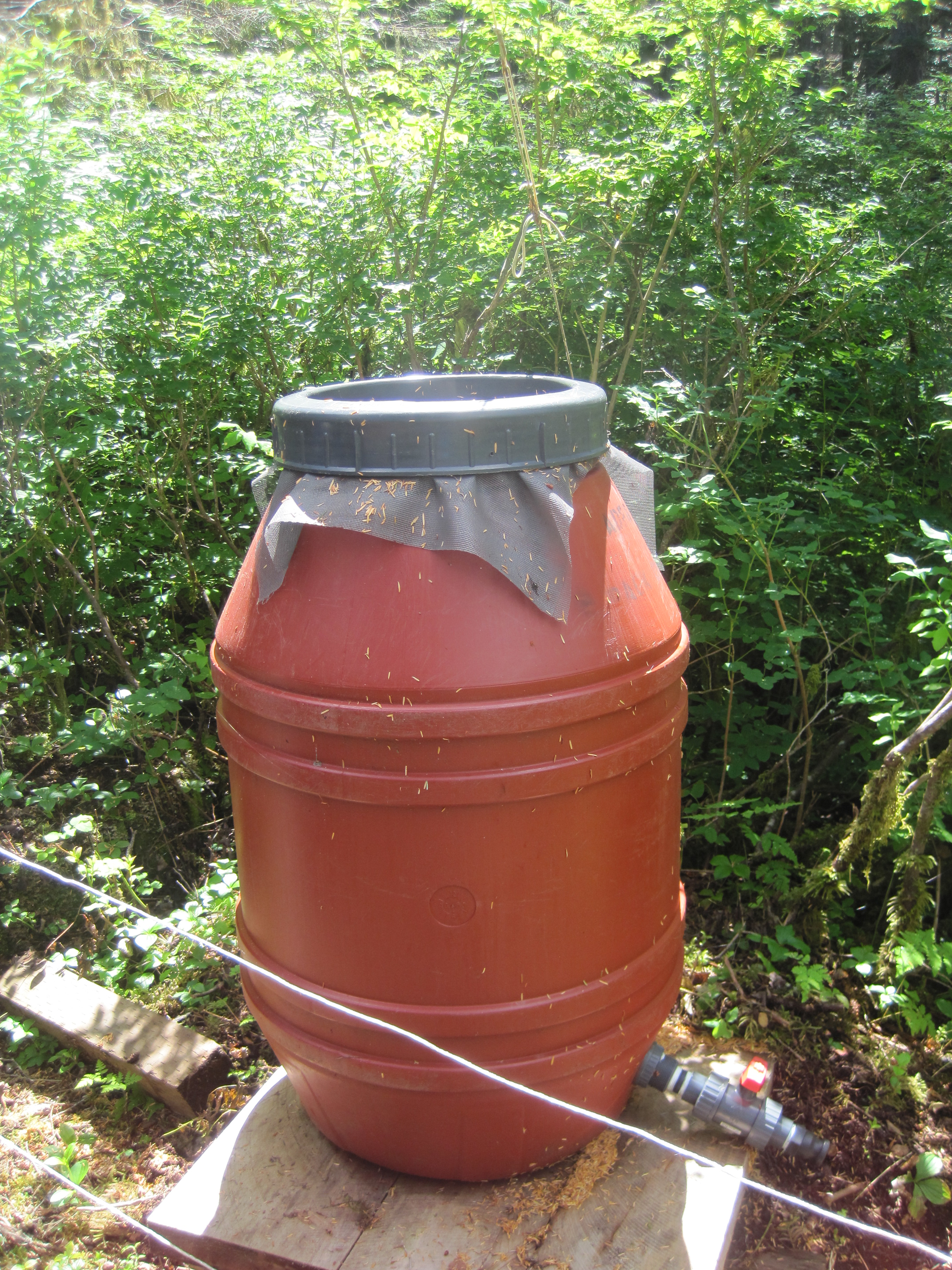
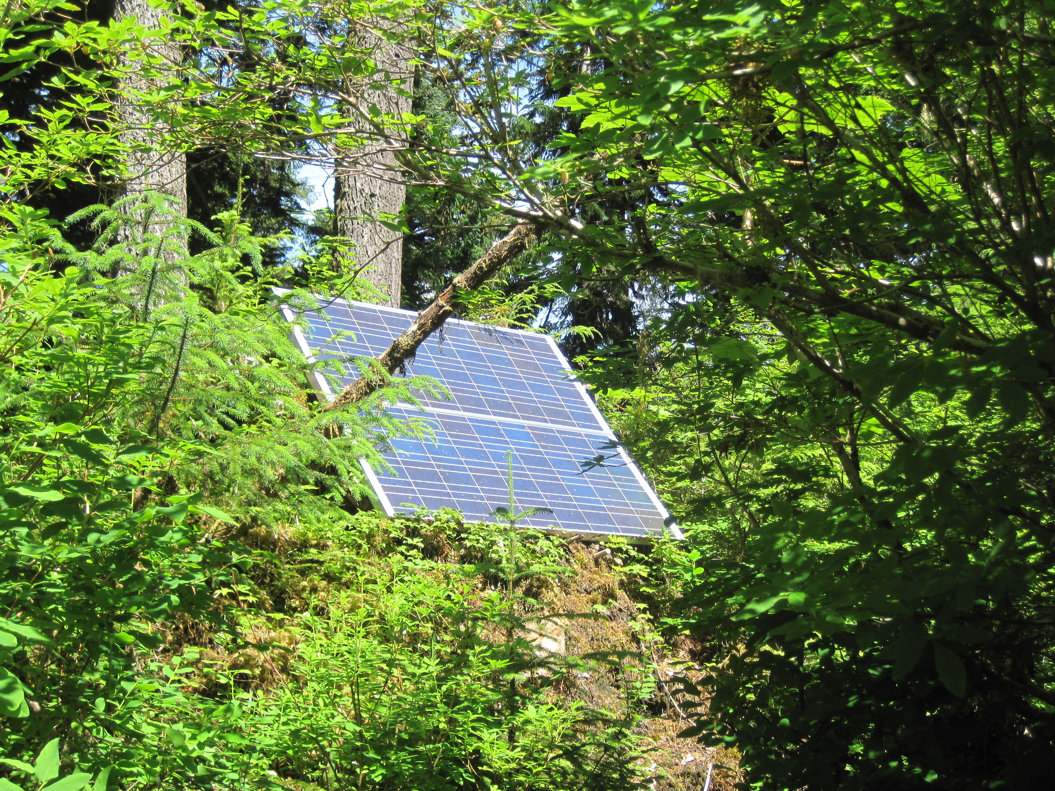
We hiked the property, looked at the old cabin, sat in the hot tub, a fish tote transformed into a hot tub, you can't really tell but the glacier is directly across from this.

YES, I said hot tub, read for a while and headed back to town mid afternoon.
It was a  great weekend, but you will notice immediately by looking at these pictures, the difference between a sunny day and a cloudy day in SE Alaska!  These maps might begin to show you where we were… you can see downtown Juneau with the A and then the cabin at the B.

You can also see the glaciers that are feeding the River

.

Here is a great link to some of the history up Taku River!

http://www.history.noaa.gov/stories_tales/taku.html

5 Comments »